Download to read offline
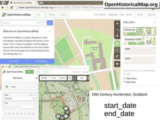
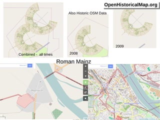
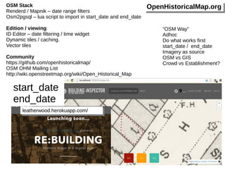
The document discusses the Open Historical Map project which focuses on visualizing historical data, specifically in relation to 19th century locations in Scotland and Roman Mainz. It mentions tools and methods for data importation and visualization, including date filters and dynamic tiles. The text also references community resources and platforms for collaboration within the Open Historical Map initiative.


