
Recommended
More Related Content
What's hot
What's hot (15)
Similar to GeoScene3D Newsletter release version 630
Similar to GeoScene3D Newsletter release version 630 (20)
Recently uploaded
Recently uploaded (20)
GeoScene3D Newsletter release version 630
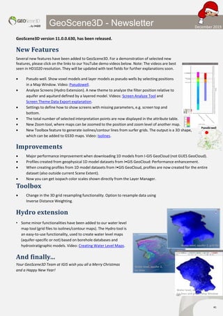
- 1. …by I•GIS #1 GeoScene3D - Newsletter GeoScene3D version 11.0.0.630, has been released. New Features Several new features have been added to GeoScene3D. For a demonstration of selected new features, please click on the links to our YouTube demo videos below. Note: The videos are best seen in HD1020 resolution. They will be updated with text fields for further explanations soon. Pseudo well. Show voxel models and layer models as pseudo wells by selecting positions in a Map Window. Video: Pseudowell. Analyze Screens (Hydro Extension). A new theme to analyze the filter position relative to aquifer and aquitard defined by a layered model. Videos: Screen Analyze Tool and Screen Theme Data Export explanation. Settings to define how to show screens with missing parameters, e.g. screen top and bottom. The total number of selected interpretation points are now displayed in the attribute table. New Zoom tool, where maps can be zoomed to the position and zoom level of another map. New Toolbox feature to generate isolines/contour lines from surfer grids. The output is a 3D shape, which can be added to GS3D maps. Video: Isolines. Improvements Major performance improvement when downloading 1D models from I-GIS GeoCloud (not GUES GeoCloud). Profiles created from geophysical 1D model datasets from I•GIS GeoCloud: Performance enhancement. When creating profiles from 1D model datasets from I•GIS GeoCloud, profiles are now created for the entire dataset (also outside current Scene Extent). Now you can get isopach color scales shown directly from the Layer Manager. Toolbox Change in the 3D grid resampling functionality. Option to resample data using Inverse Distance Weighting. Hydro extension • Some minor functionalities have been added to our water level map tool (grid files to isolines/contour maps). The Hydro tool is an easy-to-use functionality, used to create water level maps (aquifer-specific or not) based on borehole databases and hydrostratigraphic models. Video: Creating Water Level Maps. And finally… Your GeoScene3D Team at IGIS wish you all a Merry Christmas and a Happy New Year! Water level, aquifer 2, grid file Water level, aquifer 2, Iso lines Water level, aquifer 2, Iso lines and grid in Map Window Pseudo well December 2019