
Recommended
More Related Content
What's hot
Similar to Newsletter GeoScene3D release version 11 0_0_630
Similar to Newsletter GeoScene3D release version 11 0_0_630 (20)
Recently uploaded
Recently uploaded (20)
Newsletter GeoScene3D release version 11 0_0_630
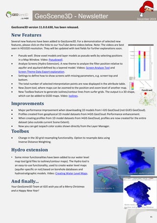
- 1. …by I•GIS #1 GeoScene3D - Newsletter GeoScene3D version 11.0.0.630, has been released. New Features Several new features have been added to GeoScene3D. For a demonstration of selected new features, please click on the links to our YouTube demo videos below. Note: The videos are best seen in HD1020 resolution. They will be updated with text fields for further explanations soon. • Pseudo well. Show voxel models and layer models as pseudo wells by selecting positions in a Map Window. Video: Pseudowell. • Analyze Screens (Hydro Extension). A new theme to analyze the filter position relative to aquifer and aquitard defined by a layered model. Videos: Screen Analyze Tool and Screen Theme Data Export explanation. • Settings to define how to show screens with missing parameters, e.g. screen top and bottom. • The total number of selected interpretation points are now displayed in the attribute table. • New Zoom tool, where maps can be zoomed to the position and zoom level of another map. • New Toolbox feature to generate isolines/contour lines from surfer grids. The output is a 3D shape, which can be added to GS3D maps. Video: Isolines. Improvements • Major performance improvement when downloading 1D models from I-GIS GeoCloud (not GUES GeoCloud). • Profiles created from geophysical 1D model datasets from I•GIS GeoCloud: Performance enhancement. • When creating profiles from 1D model datasets from I•GIS GeoCloud, profiles are now created for the entire dataset (also outside current Scene Extent). • Now you can get isopach color scales shown directly from the Layer Manager. Toolbox • Change in the 3D grid resampling functionality. Option to resample data using Inverse Distance Weighting. Hydro extension • Some minor functionalities have been added to our water level map tool (grid files to isolines/contour maps). The Hydro tool is an easy-to-use functionality, used to create water level maps (aquifer-specific or not) based on borehole databases and hydrostratigraphic models. Video: Creating Water Level Maps. And finally… Your GeoScene3D Team at IGIS wish you all a Merry Christmas and a Happy New Year! Water level, aquifer 2, grid file Water level, aquifer 2, Iso lines Water level, aquifer 2, Iso lines and grid in Map Window Pseudo well December 2019