
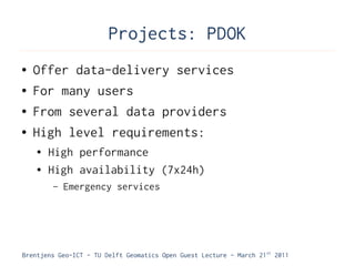
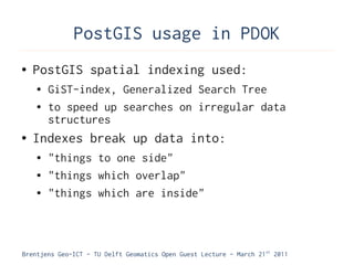
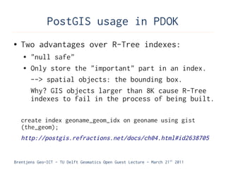
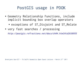
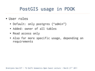

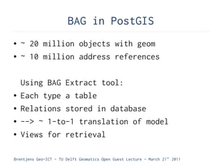


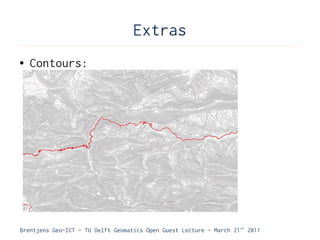
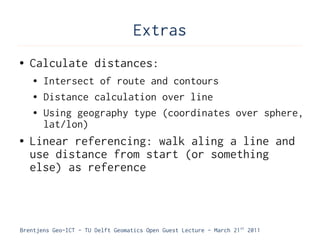
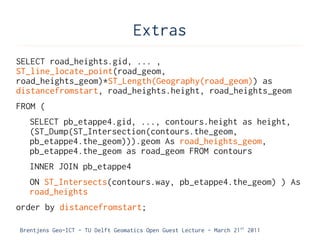
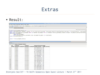
![Extras
● Infrastructure is the basic physical and
organizational structures needed for the
operation of a society or enterprise,[1]
or the services and facilities necessary
for an economy to function.[2] The term
typically refers to the technical
structures that support a society, such as
roads, water supply, sewers, power grids,
telecommunications, and so forth
Brentjens Geo-ICT - TU Delft Geomatics Open Guest Lecture - March 21 st 2011](https://image.slidesharecdn.com/thijsbrentjens-110426040714-phpapp01/85/Thijs-Brentjens-PostGIS-as-used-by-the-Dutch-government-78-320.jpg)

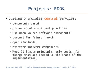
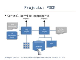
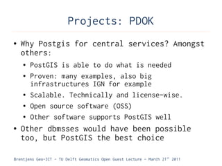
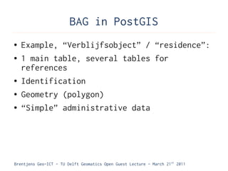
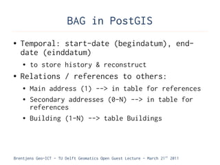
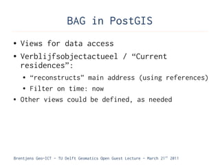
This document discusses a guest lecture about how national critical geo infrastructure in the Netherlands runs on the open source database PostGIS. It begins with introductions and an overview of geo infrastructure and its components. A key part of the infrastructure is PostGIS, which adds spatial support to PostgreSQL. Major projects like PDOK (Public Service on the Map) use PostGIS as the central database for serving critical spatial datasets to government applications. The lecture covers how PostGIS is implemented for PDOK, including storage of over 25GB of spatial data, querying optimizations, and scalability.


