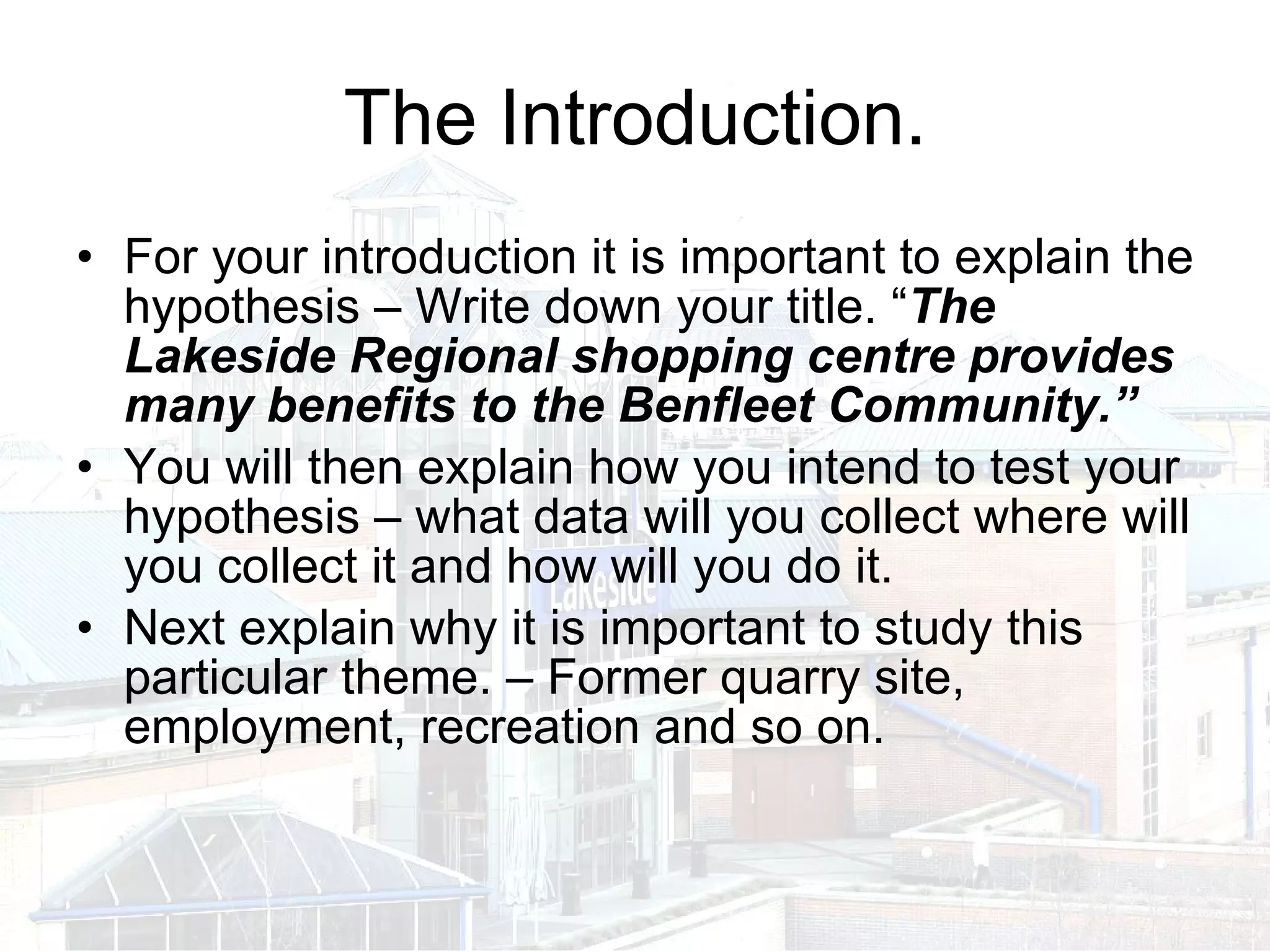
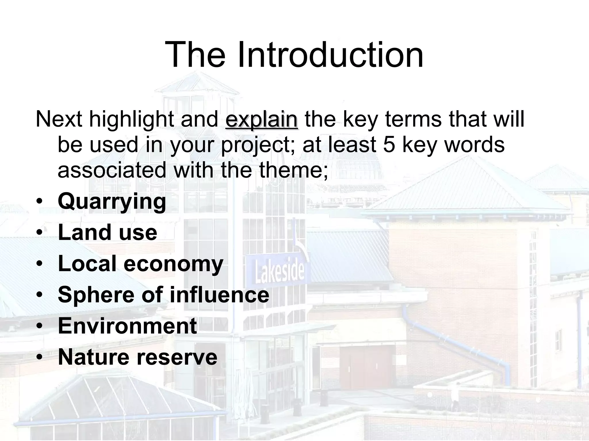
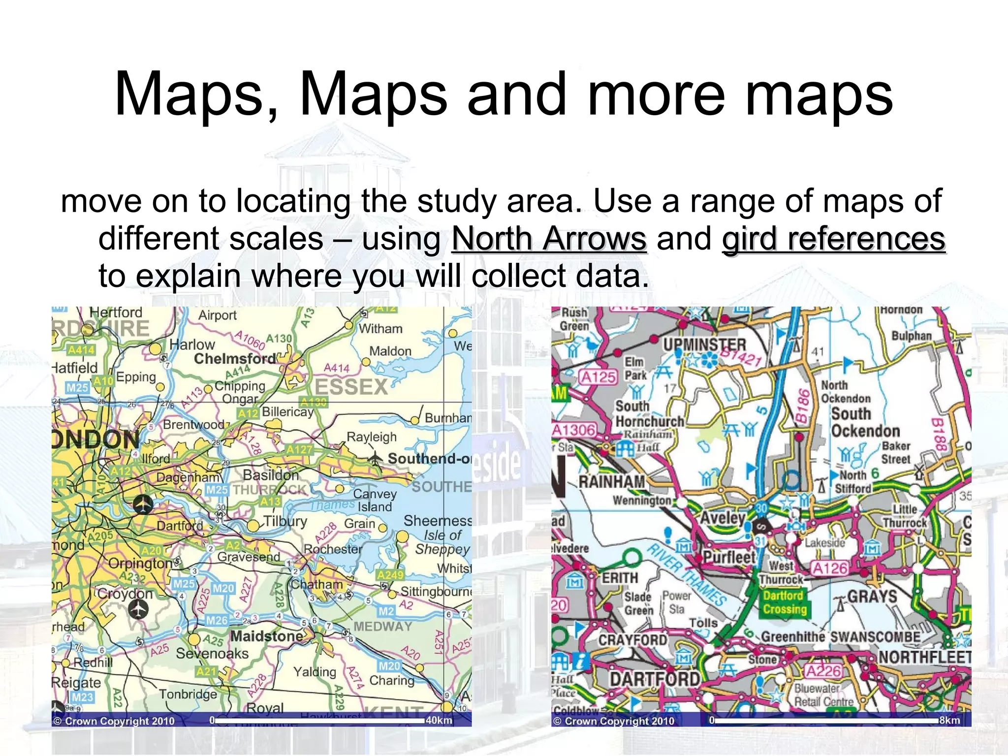
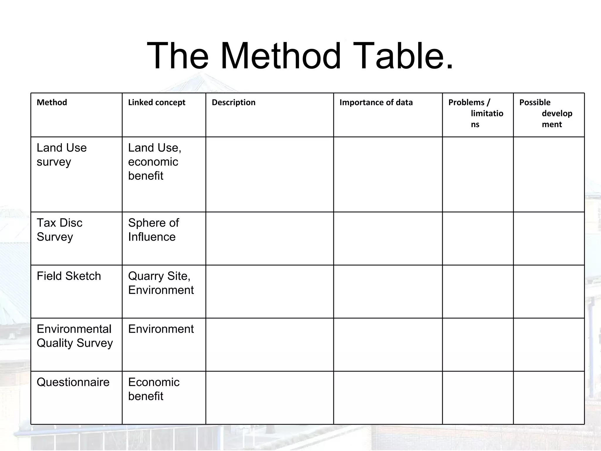
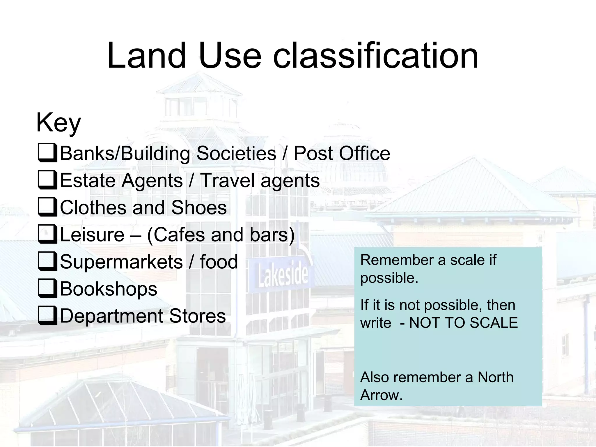
The document provides guidance on how to get maximum marks on a geography controlled assessment. It recommends that the introduction should explain the hypothesis being tested, what data will be collected and where, as well as why the theme is important to study. Key terms associated with the theme, such as quarrying and land use, should also be defined. Maps of different scales should be used to locate the study area and show where data will be collected. A method table is then outlined listing the types of data to be collected, such as through questionnaires, surveys, and field sketches, to analyze factors like land use, the environment, and economic benefits.