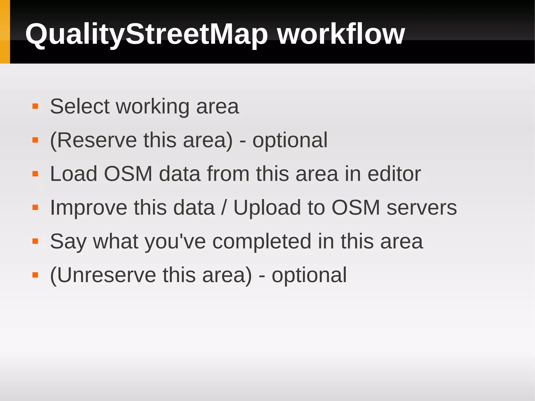
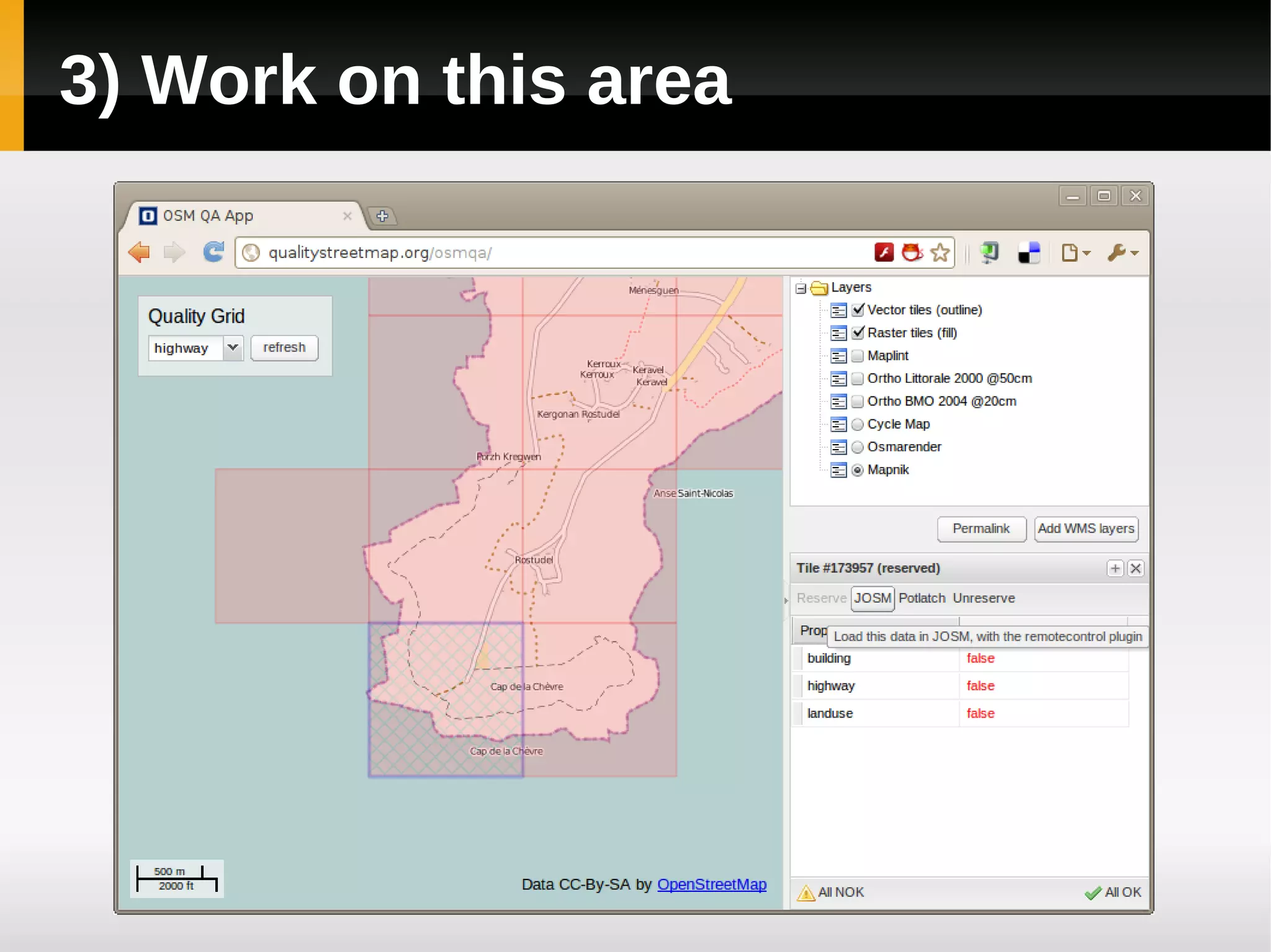
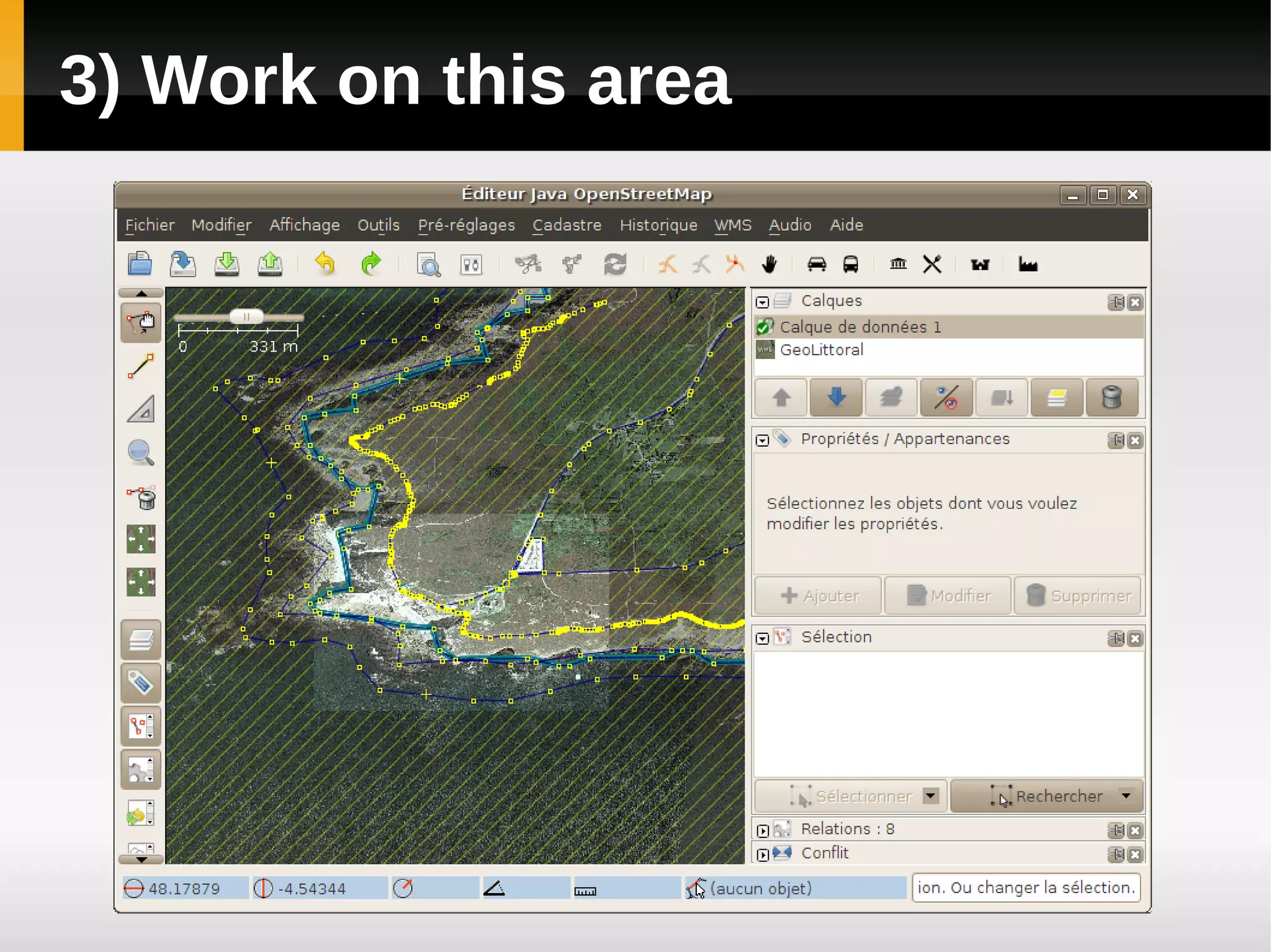
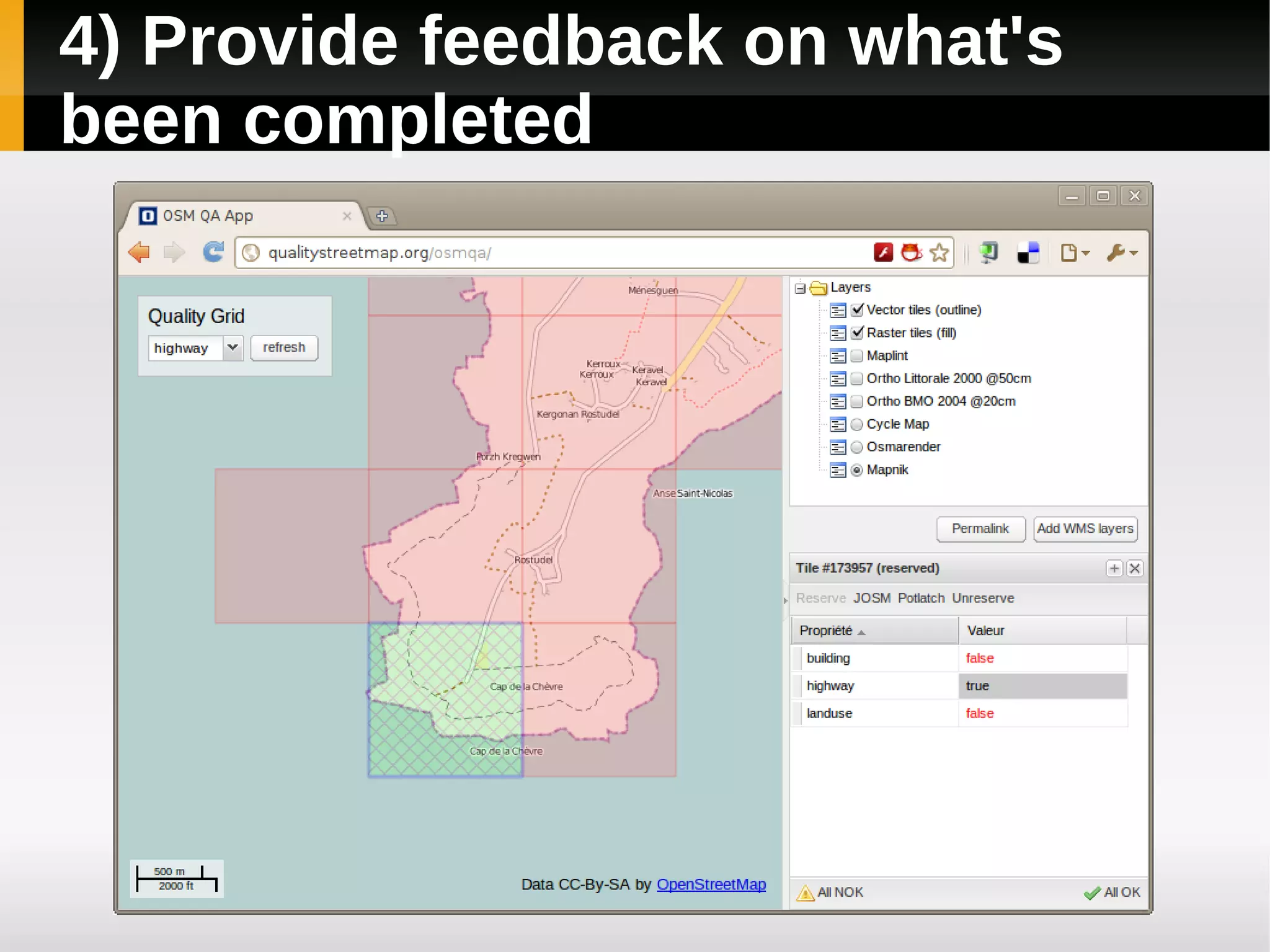
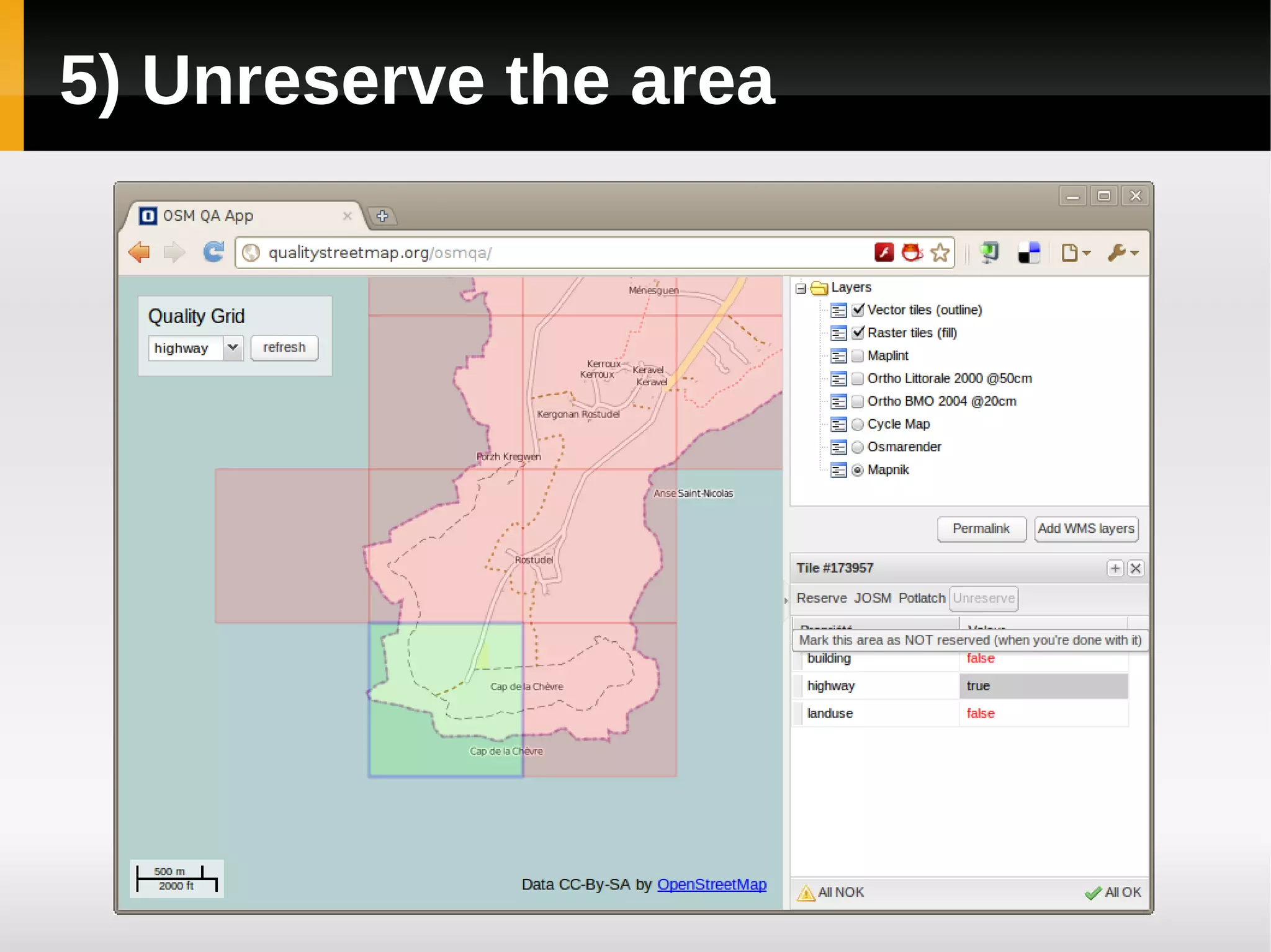
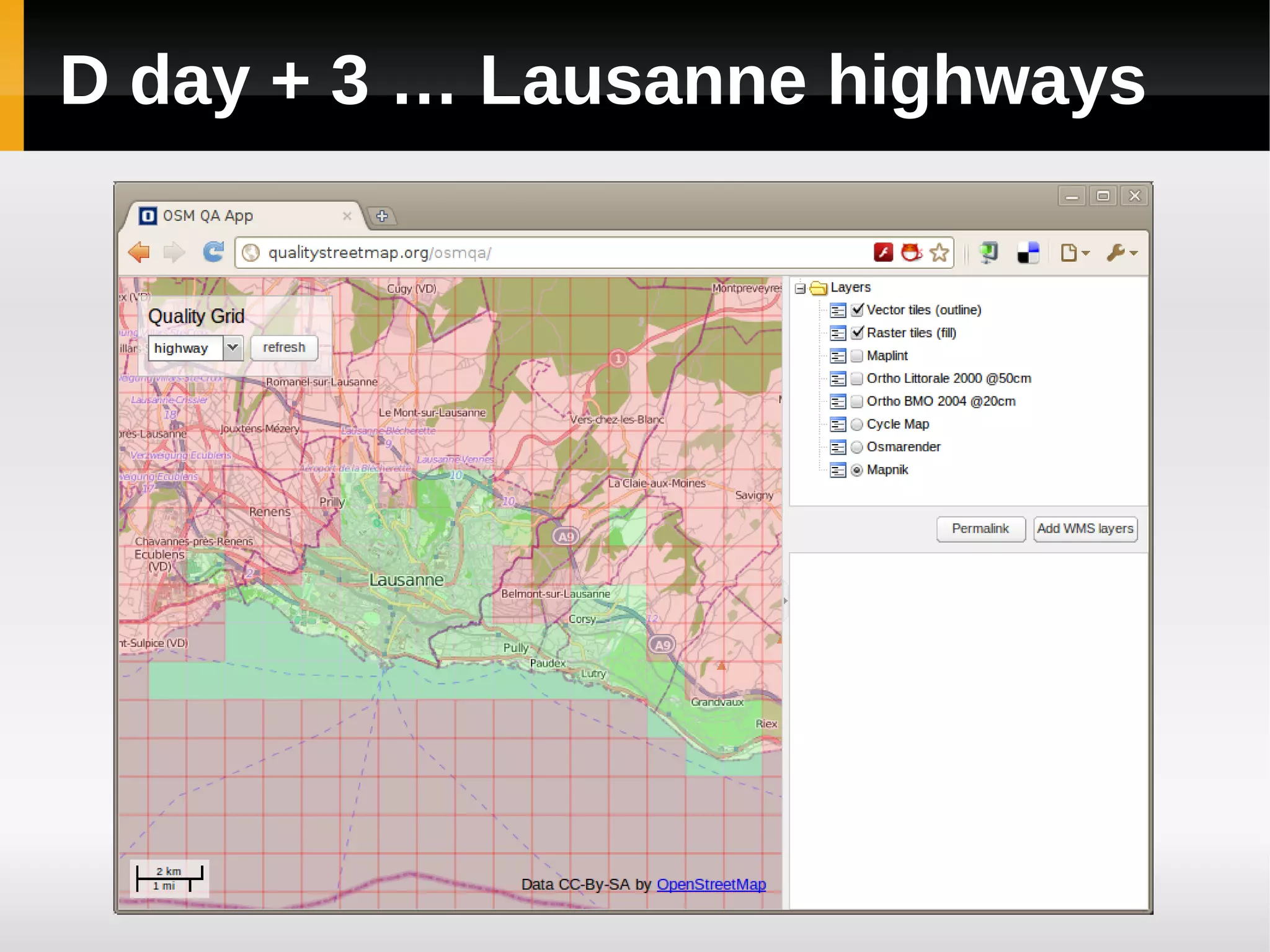
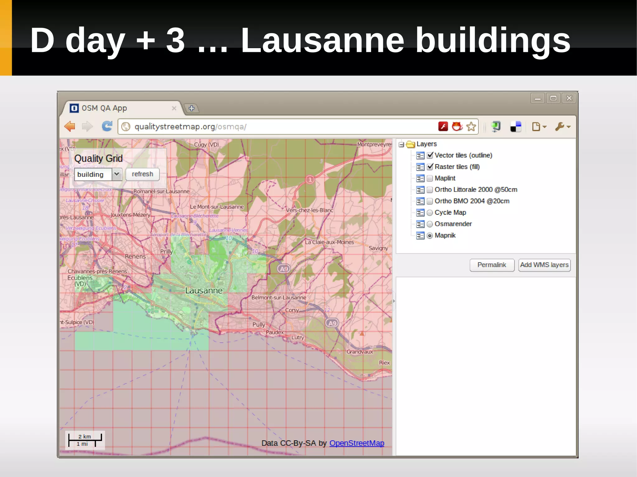
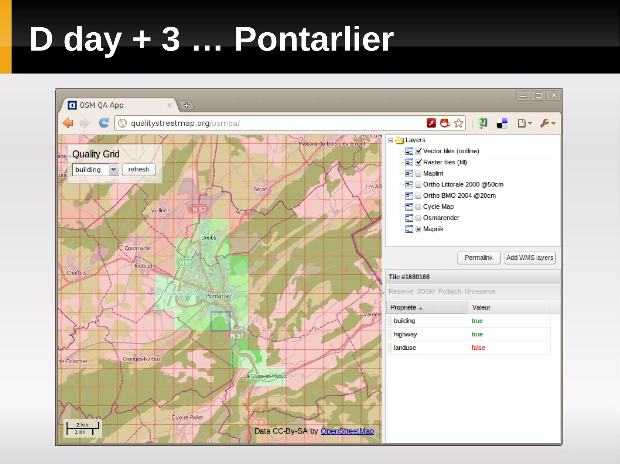
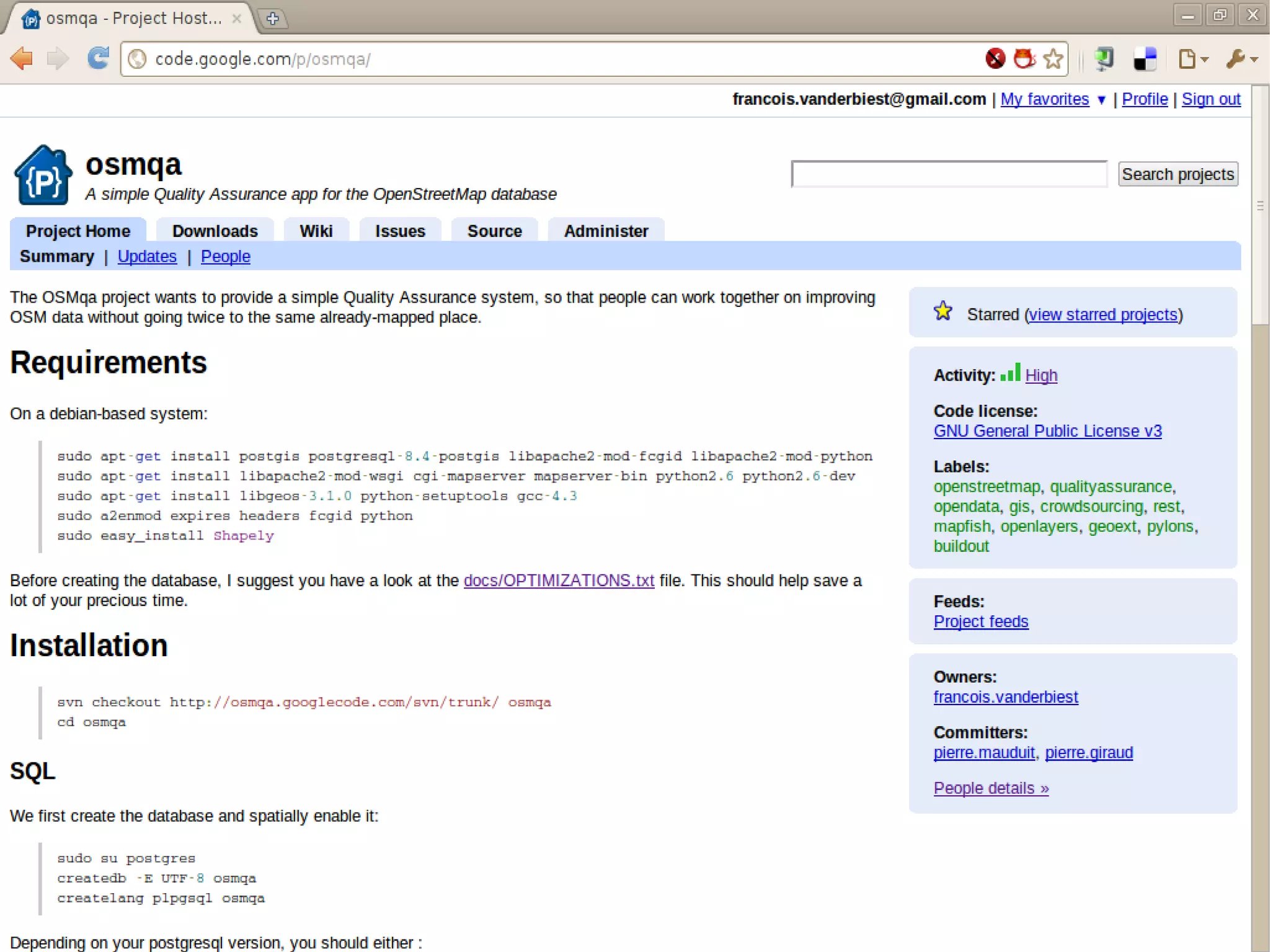
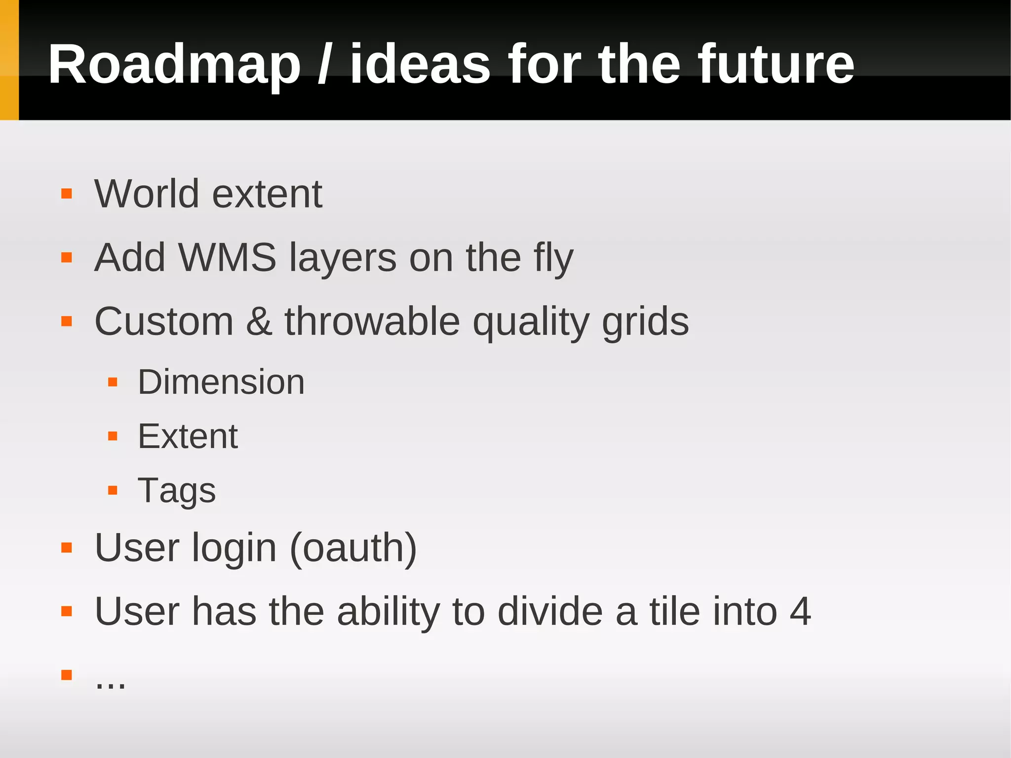
This document introduces QualityStreetMap.org and OSMQA, which aim to make map editing more efficient when raster data is available. OSMQA allows volunteers to select an area to work on, load OSM data, improve it, and provide feedback on completed work. It is built using PostgreSQL, PostGIS, MapServer, MapFish Server, GeoExt, and OpenLayers. Future plans include supporting a global extent, adding layers dynamically, customizing quality grids, user login, and allowing areas to be divided.


![Coded Agents – with UiPath SDK + LangGraph [Virtual Hands-on Workshop]](https://cdn.slidesharecdn.com/ss_thumbnails/codedagentsdeck-251215155422-5497c599-thumbnail.jpg?width=640&height=640&fit=bounds)


