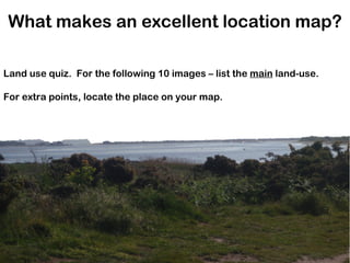
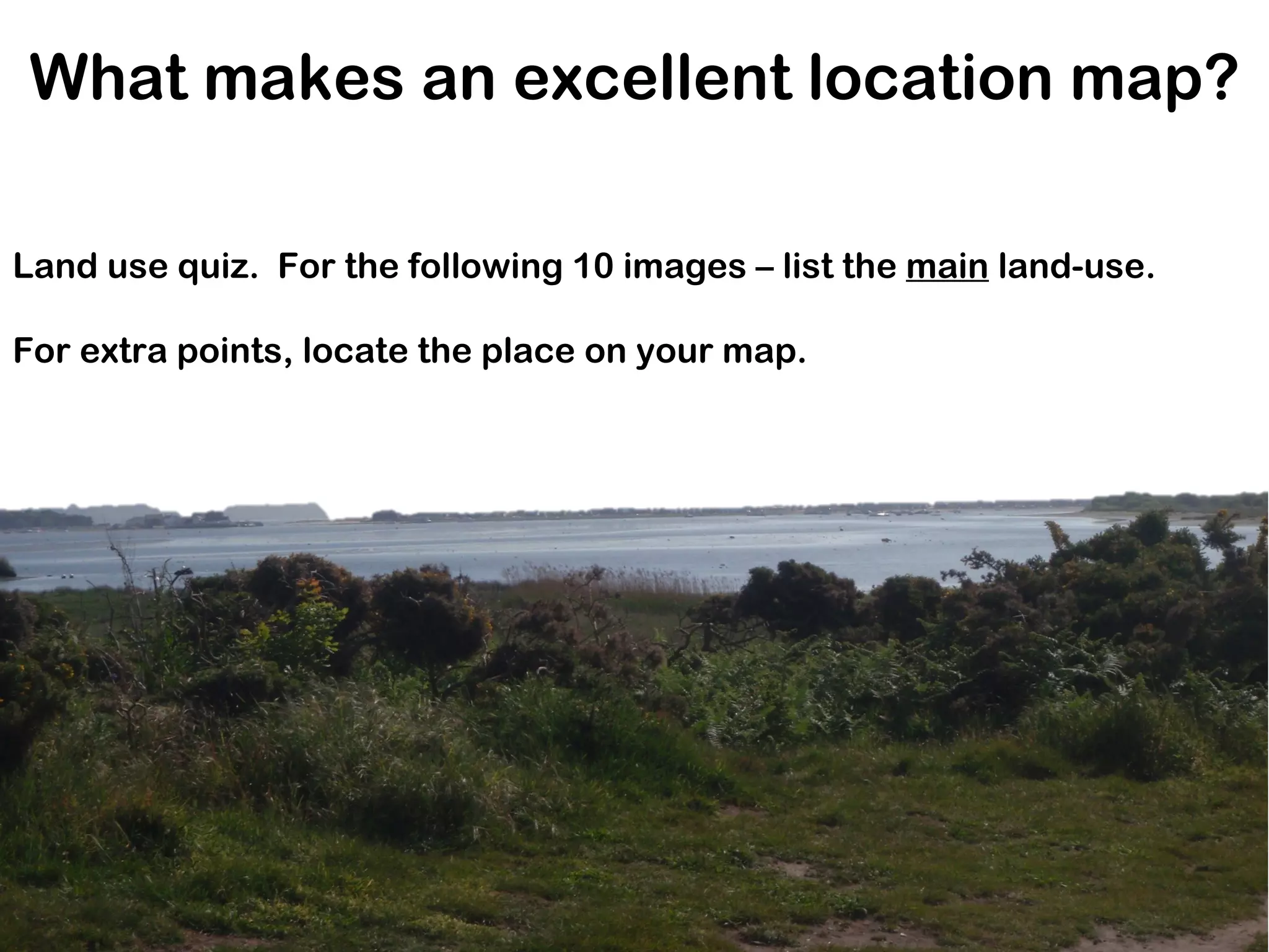
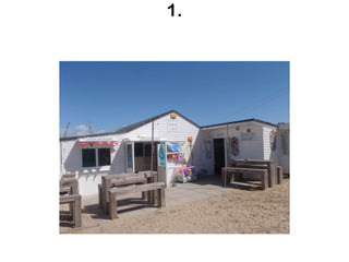
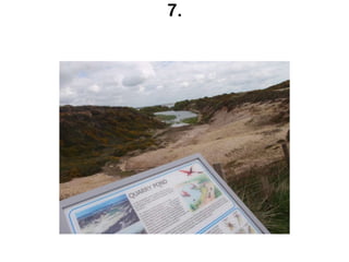
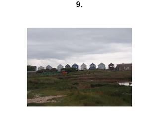
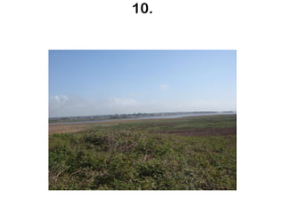
What makes an excellent location map? Land use quiz.  For the following 10 images – list the  main  land-use. For extra points, locate the place on your map.
1.
2.
3.
4.
5.
6.
7.
8.
9.
10.
Introduction Maps Your maps must: Use two different types of map Ordnance survey, Google Earth, sketch map Show the location of the study site – where is Hengistbury Head? Describe the area in detail For example, existing sea defences, names of the landforms and proceses (Headland, Spit, Mudeford Spit created by Longshore drift and used for…. ; The beach huts rent for £950 per week ( source ) Show where you collected your data Questionnaire, Land Use, Car Park Survey, Beach Profiles (at least 3 sites), Groyne placement Identify some key land uses Link to your introduction text You could (for extra marks) Include images within your map Provide some analysis of the importance of the land use Include secondary data – e.g. the importance of the a landform in stopping coastal flooding of Chritschurch, cost of sea defences Start a bibliography of source information Aim for 5-6 detailed annotations per map and must be printed out. I shall now demonstrate

What so I include on an annotated map

  • 1.
    What makes anexcellent location map? Land use quiz. For the following 10 images – list the main land-use. For extra points, locate the place on your map.
  • 2.
  • 3.
  • 4.
  • 5.
  • 6.
  • 7.
  • 8.
  • 9.
  • 10.
  • 11.
  • 12.
    Introduction Maps Yourmaps must: Use two different types of map Ordnance survey, Google Earth, sketch map Show the location of the study site – where is Hengistbury Head? Describe the area in detail For example, existing sea defences, names of the landforms and proceses (Headland, Spit, Mudeford Spit created by Longshore drift and used for…. ; The beach huts rent for £950 per week ( source ) Show where you collected your data Questionnaire, Land Use, Car Park Survey, Beach Profiles (at least 3 sites), Groyne placement Identify some key land uses Link to your introduction text You could (for extra marks) Include images within your map Provide some analysis of the importance of the land use Include secondary data – e.g. the importance of the a landform in stopping coastal flooding of Chritschurch, cost of sea defences Start a bibliography of source information Aim for 5-6 detailed annotations per map and must be printed out. I shall now demonstrate