Downloaded 44 times
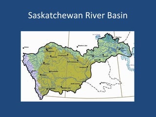
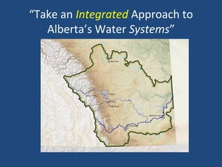

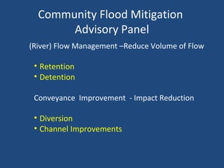
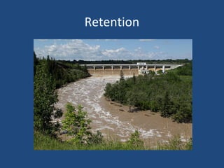
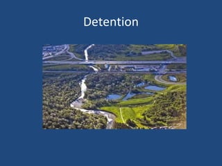
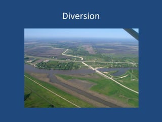

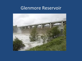
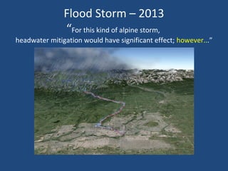
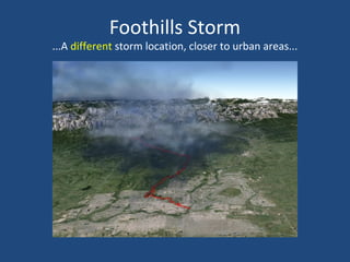
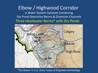
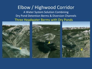
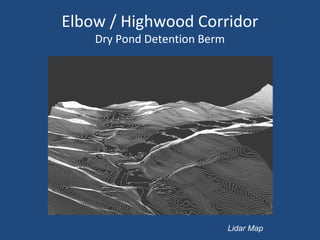
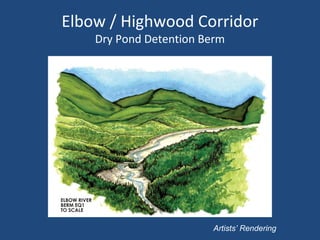
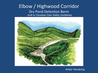
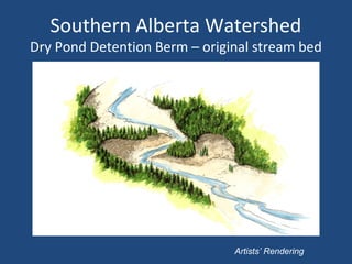
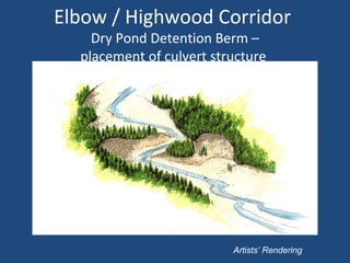
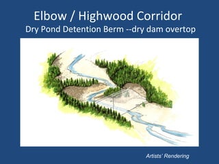
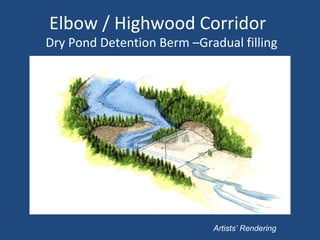
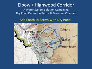
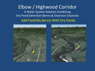
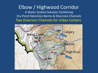
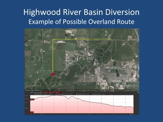
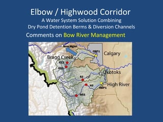
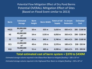
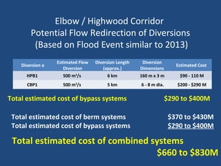
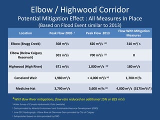

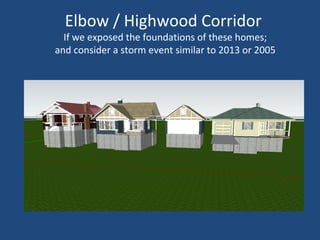
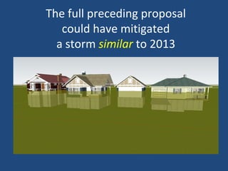
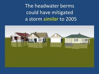

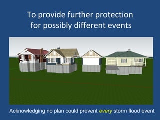


The Community Flood Mitigation Advisory Panel examined leading flood prevention practices and innovative mitigation solutions. They recommend a water system for the Elbow and Highwood River basins combining dry pond detention berms and diversion channels. This includes 3 headwater berms, 2 foothills berms, and 2 diversion channels to protect urban centers. The estimated cost is $660-830 million and could significantly reduce flooding if a similar event to 2013 or 2005 were to occur again. Timely approvals and construction are needed to implement this crucial part of Alberta's flood mitigation system.


