Download to read offline


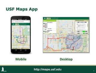
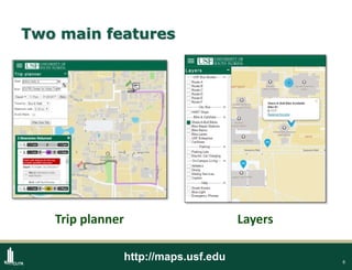
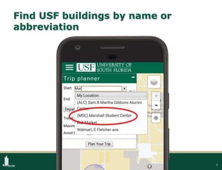
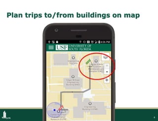
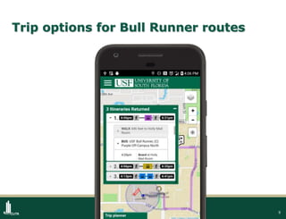
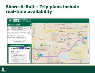
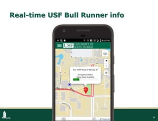
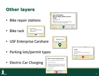
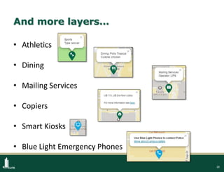
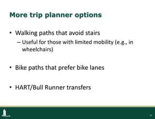


The USF Maps App was created to help students, staff, and visitors navigate the University of South Florida campus using multiple transportation options. It provides features like showing building locations, trip planning between buildings for various modes including walking, biking, public transit, and real-time transportation information. The app was developed by USF students using open-source software and open data. Since its soft launch in late 2016, thousands of users have utilized the app's trip planning and campus navigation capabilities.