This document provides an introduction to the field of geomorphology. It defines geomorphology as the study of landforms and the processes that create them. Some key points made in the document include:
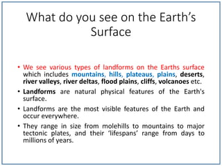
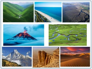
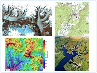
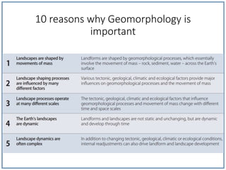
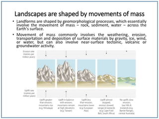
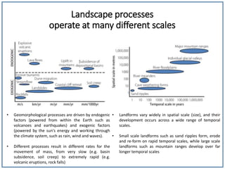
- Geomorphology examines both the natural physical features of the Earth's surface like mountains, valleys, and river deltas, as well as the processes that form and modify these landforms over various temporal and spatial scales.
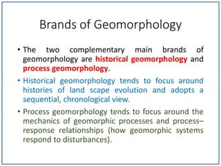
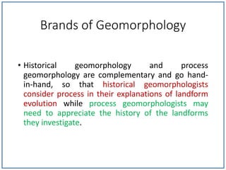
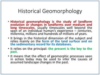
- There are two main approaches in geomorphology - historical geomorphology, which focuses on the evolution of landscapes over time, and process geomorphology, which examines the mechanics of geomorphic processes.
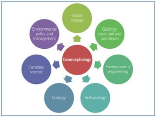
- Geomorphology is relevant to fields like geology, engineering, archaeology and