Download as ODP, PPTX


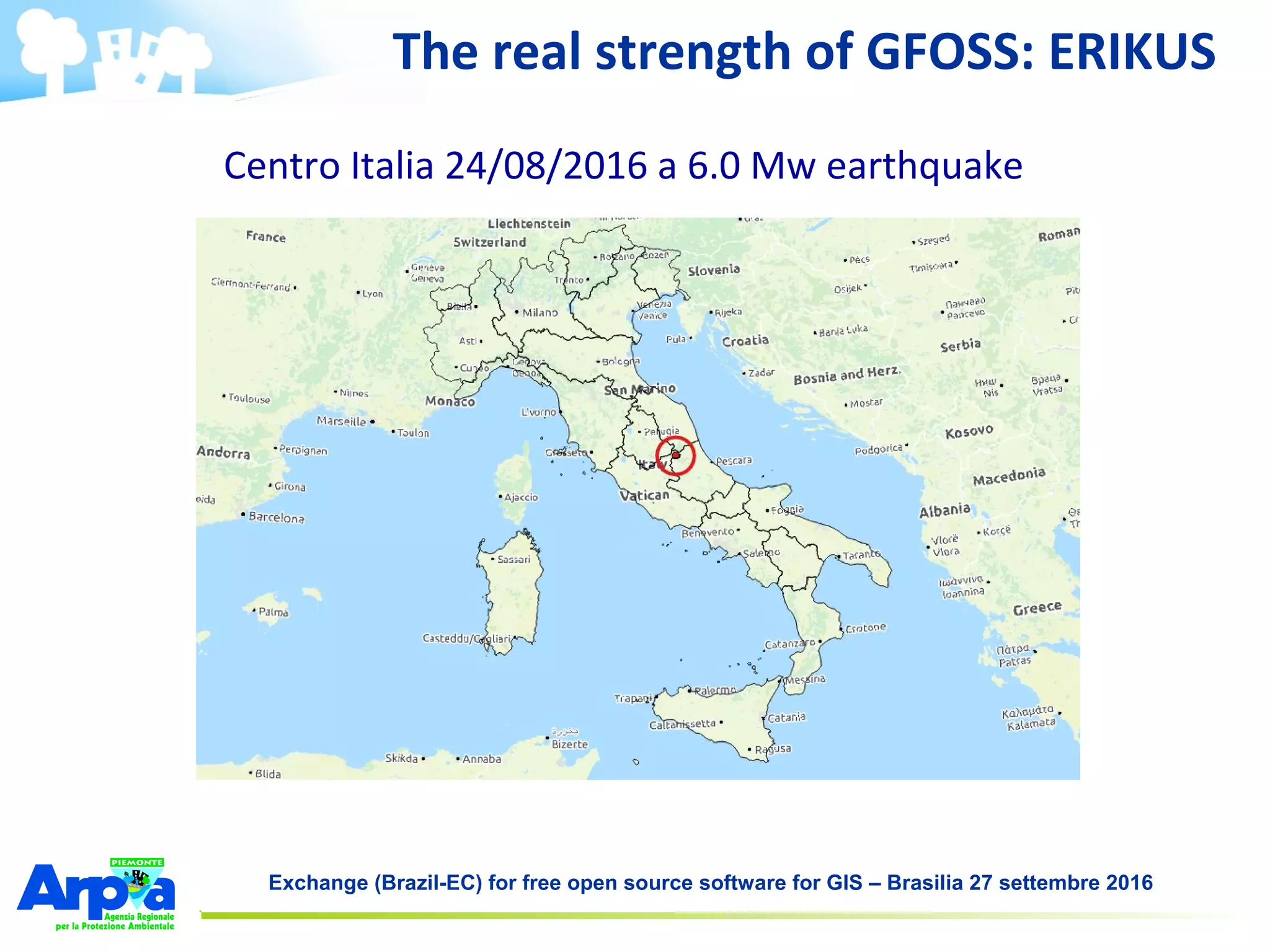
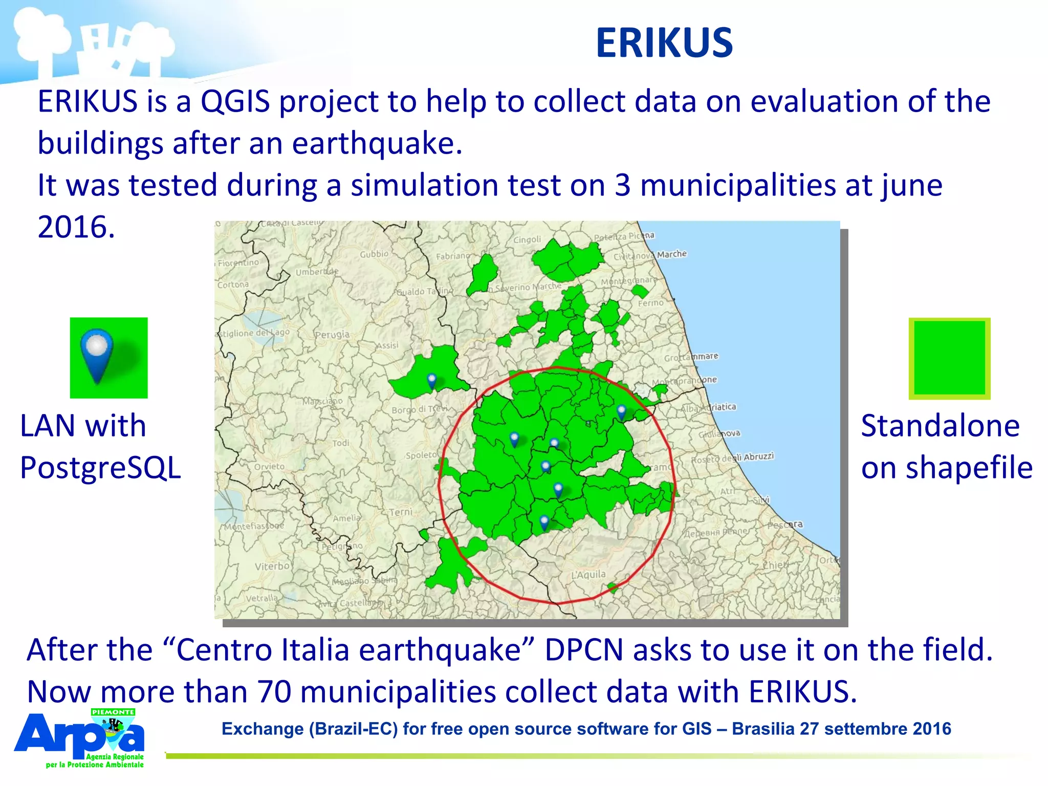

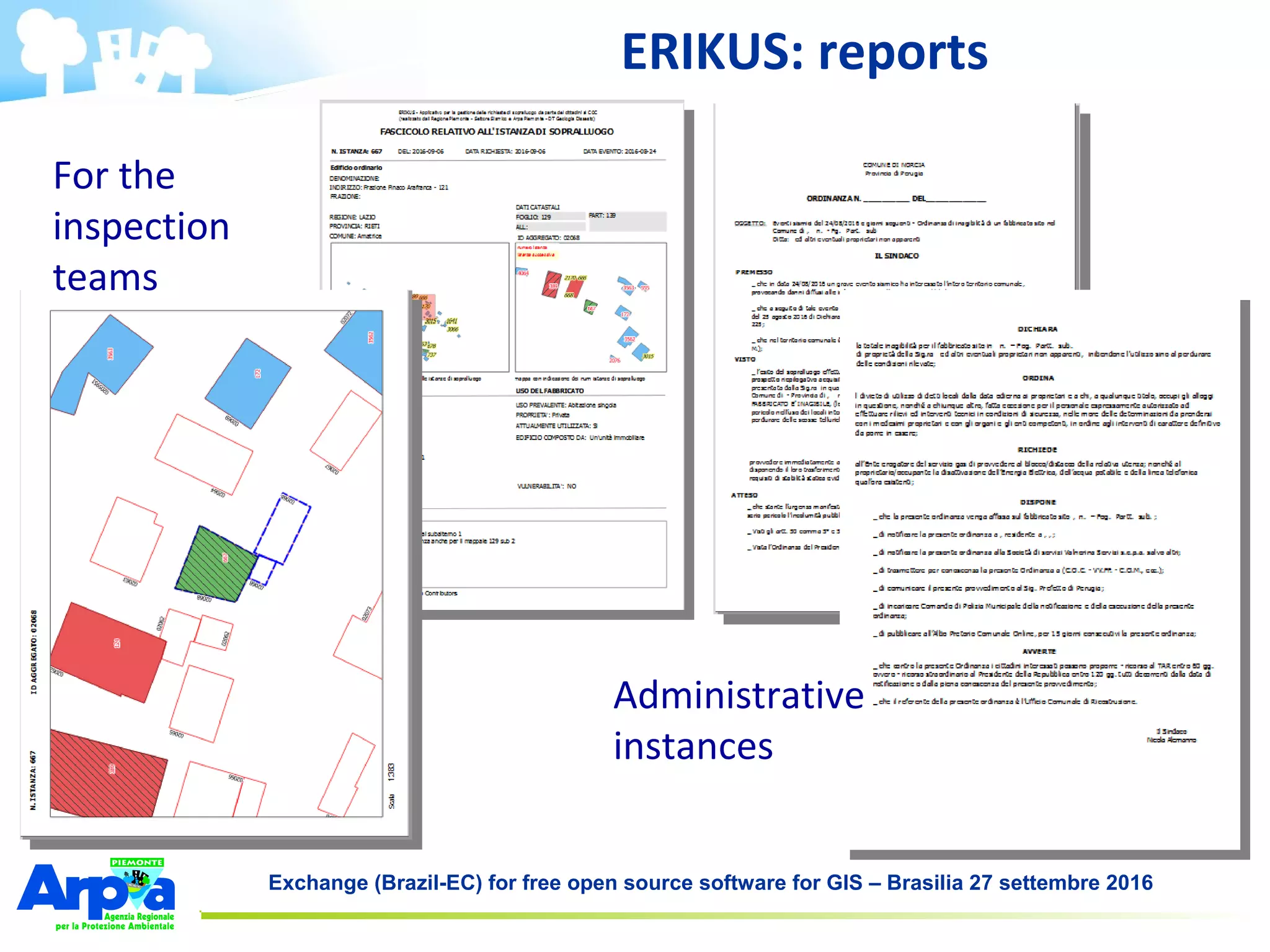


The document discusses the role of the ARPA Piemonte agency in Italy, focusing on the use of free and open-source GIS software in environmental protection. It outlines their monitoring efforts for air, water, soil, and ecosystems and the implementation of tools like the Erikus project for post-earthquake building evaluations. The agency emphasizes the benefits of open-source solutions, including cost savings, flexibility, and community engagement in data management and environmental monitoring.