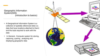
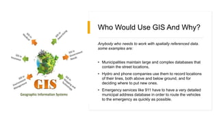
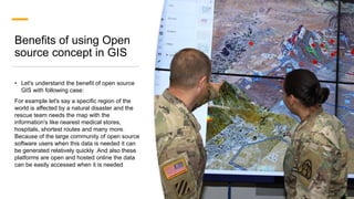
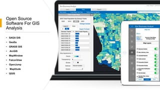
This document introduces open source software concepts in GIS and provides examples of open source software for GIS analysis. It defines GIS as a system for storing and working with spatially referenced data. Municipalities, utilities and emergency services are examples of users who need GIS. Open source software is code that anyone can modify and share. Benefits include more user control, security, and community contributions to updates. The open source concept allows sharing of geographic data online to generate maps for disaster response. Examples of open source GIS software presented include SAGA GIS, GeoDa, GRASS GIS, QGIS and OpenJump.