Download to read offline
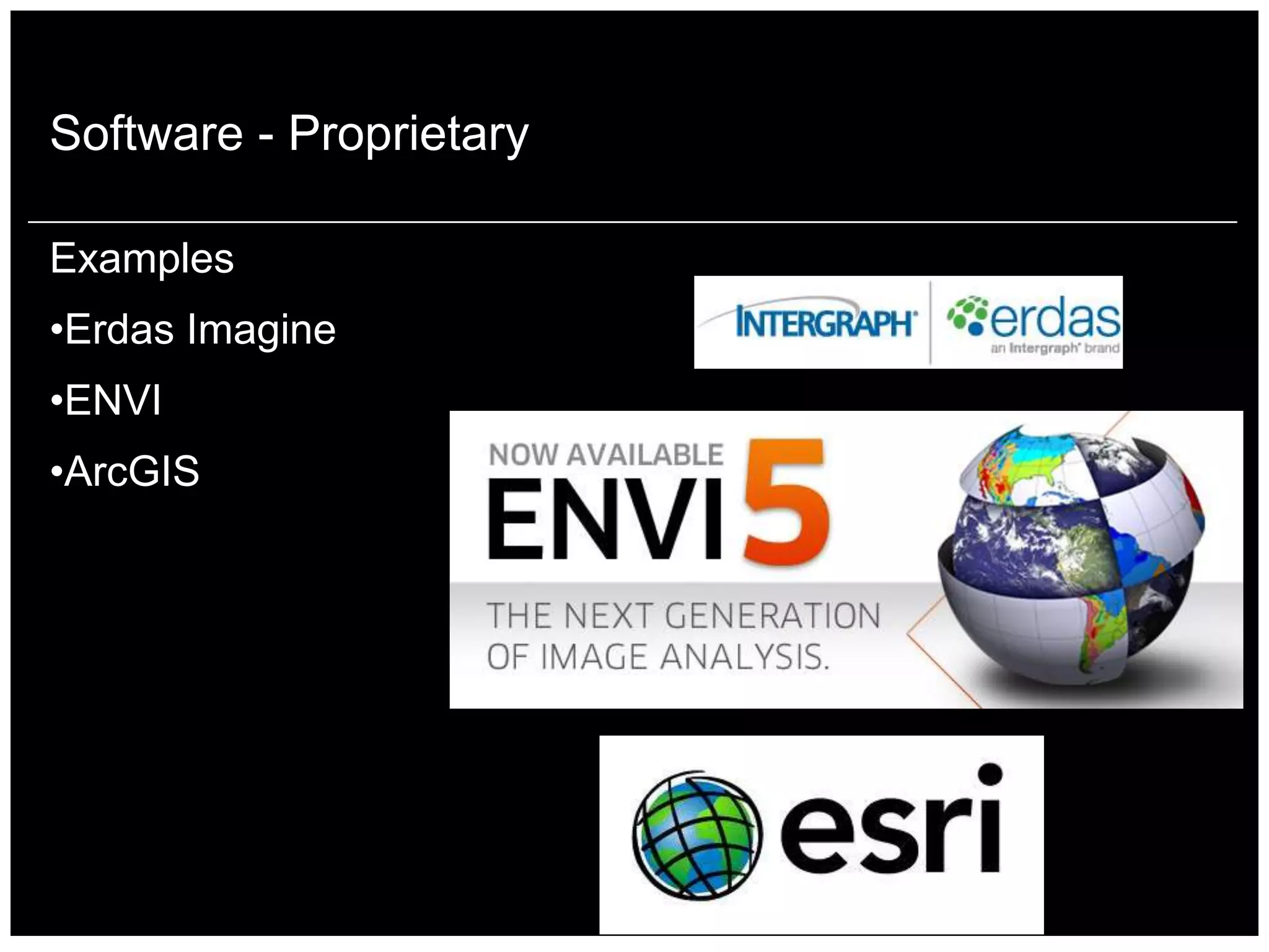
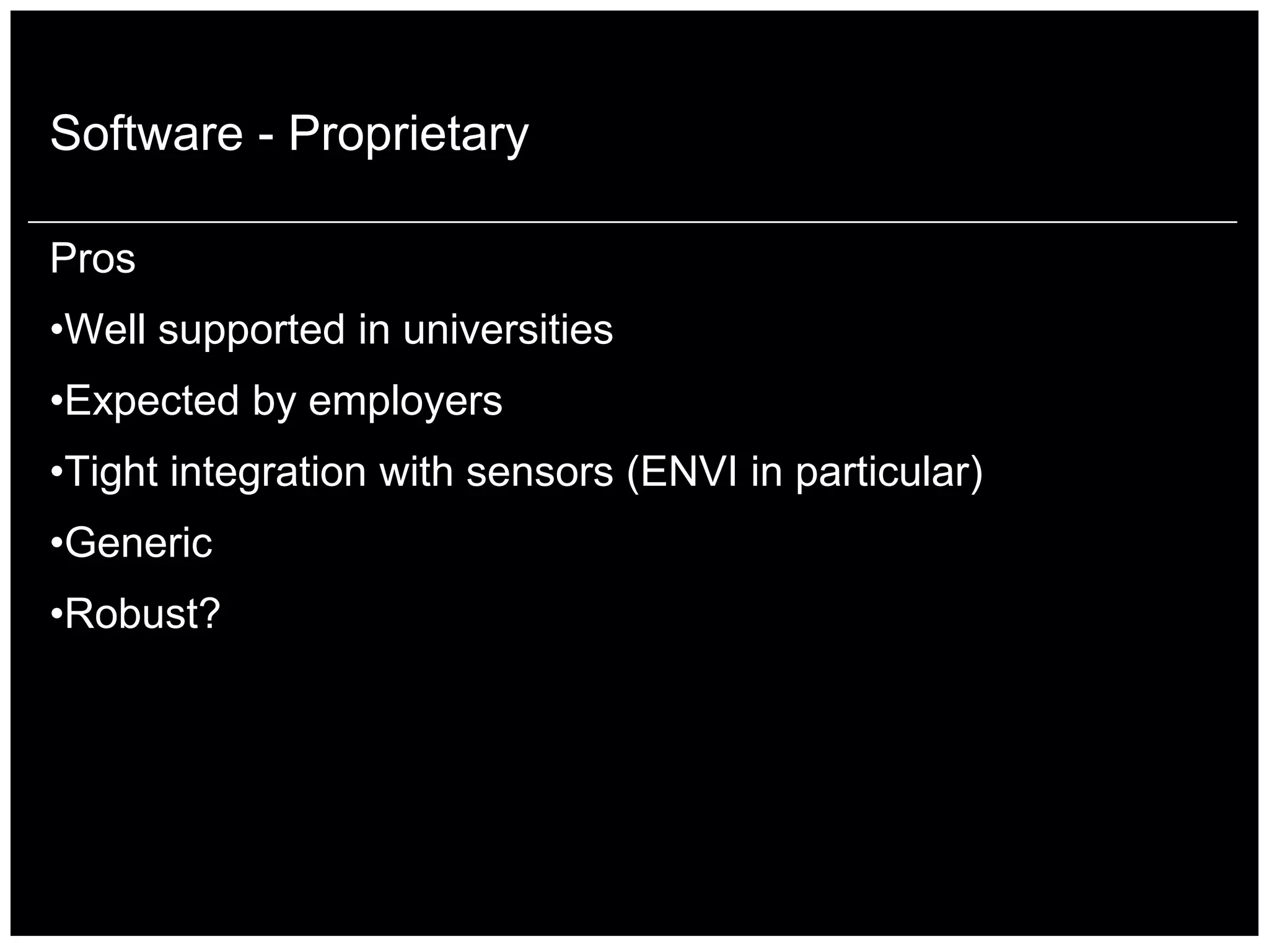
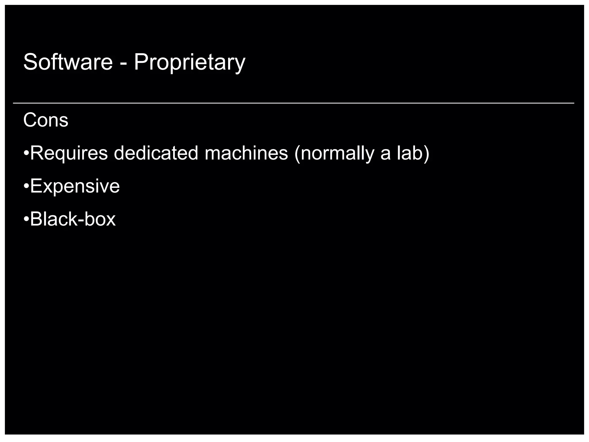
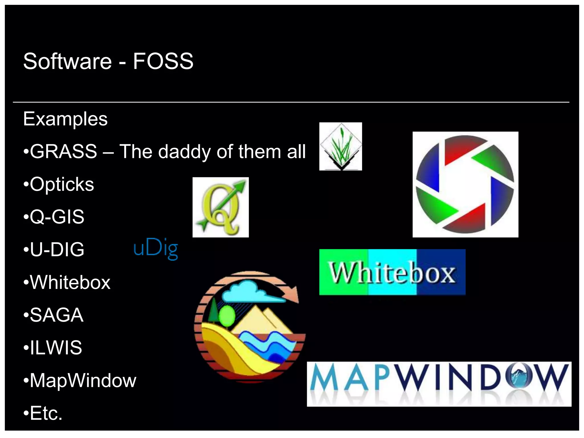

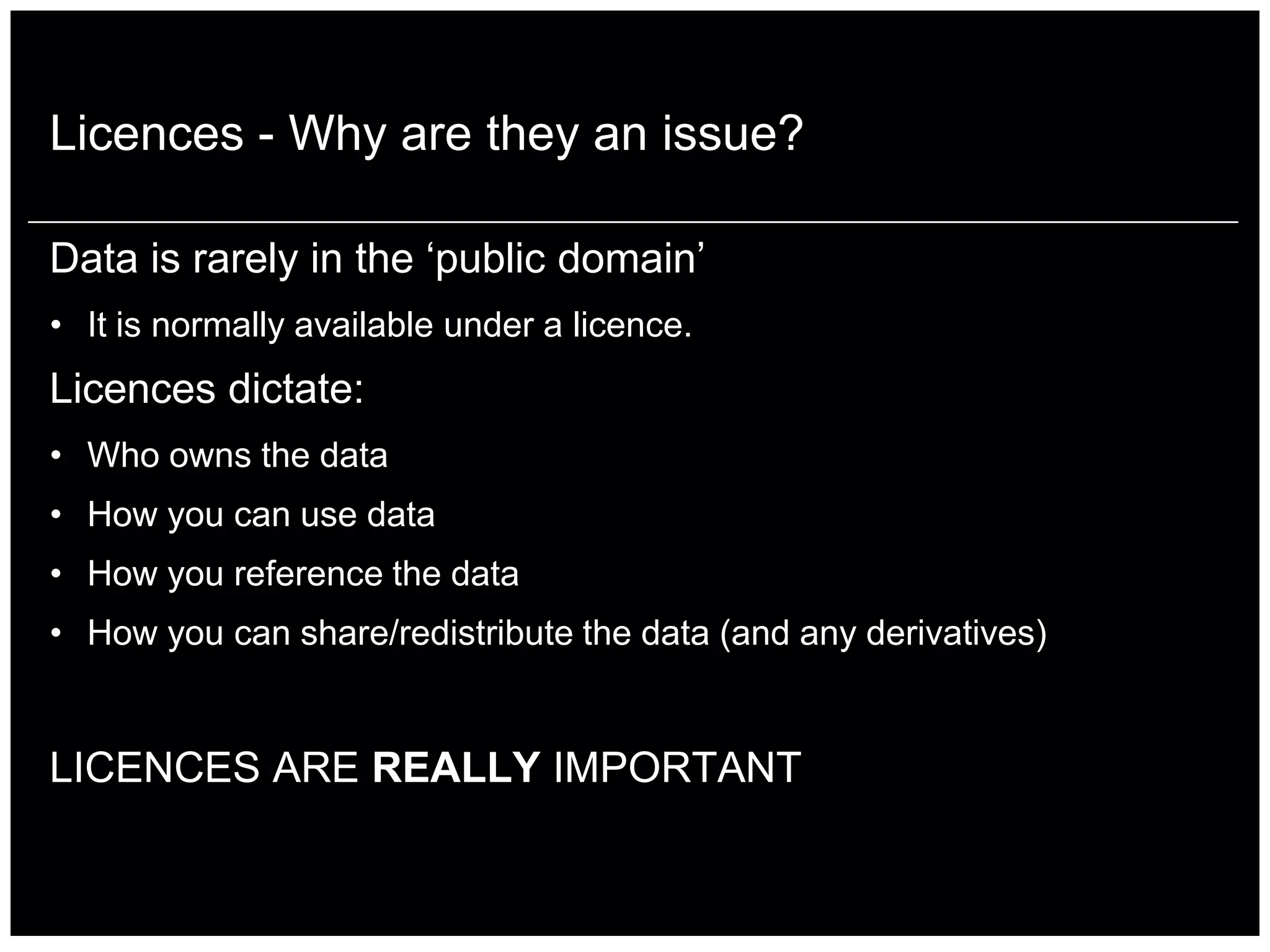
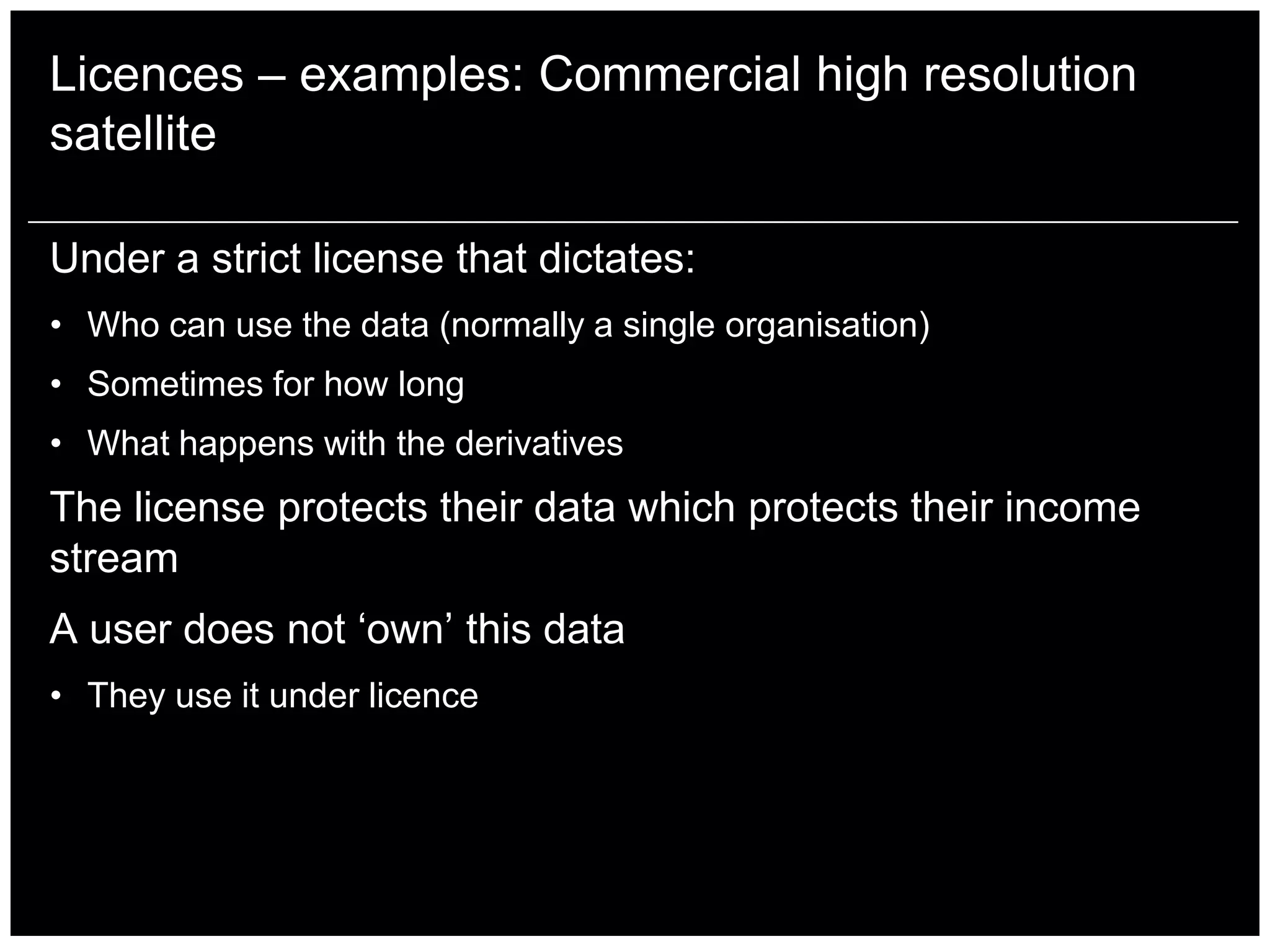
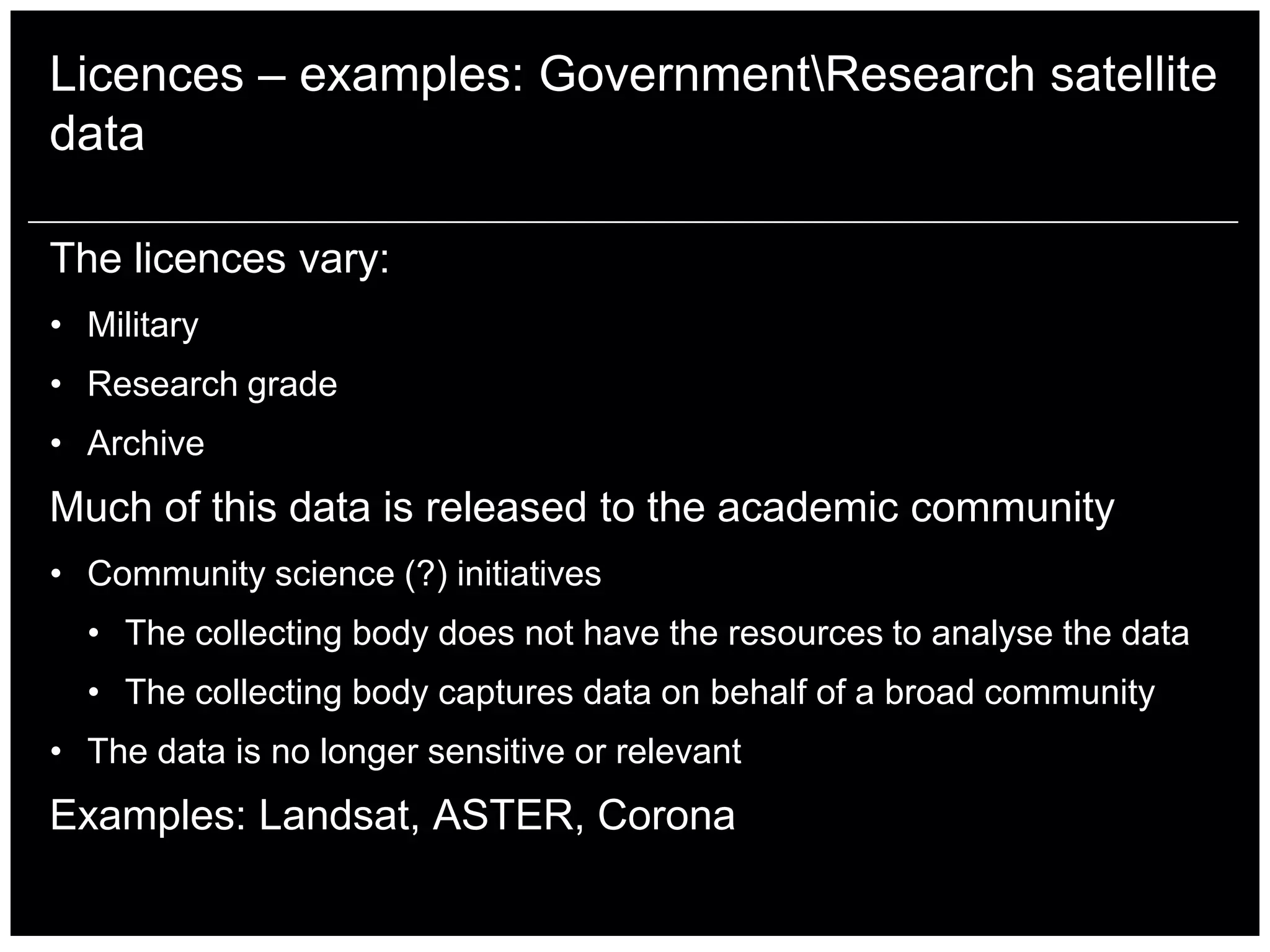
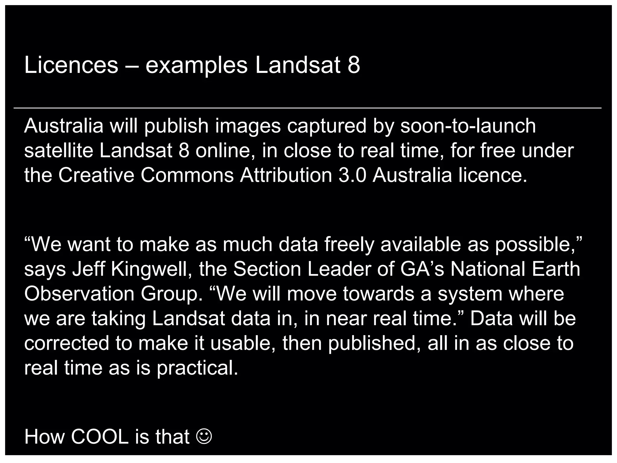
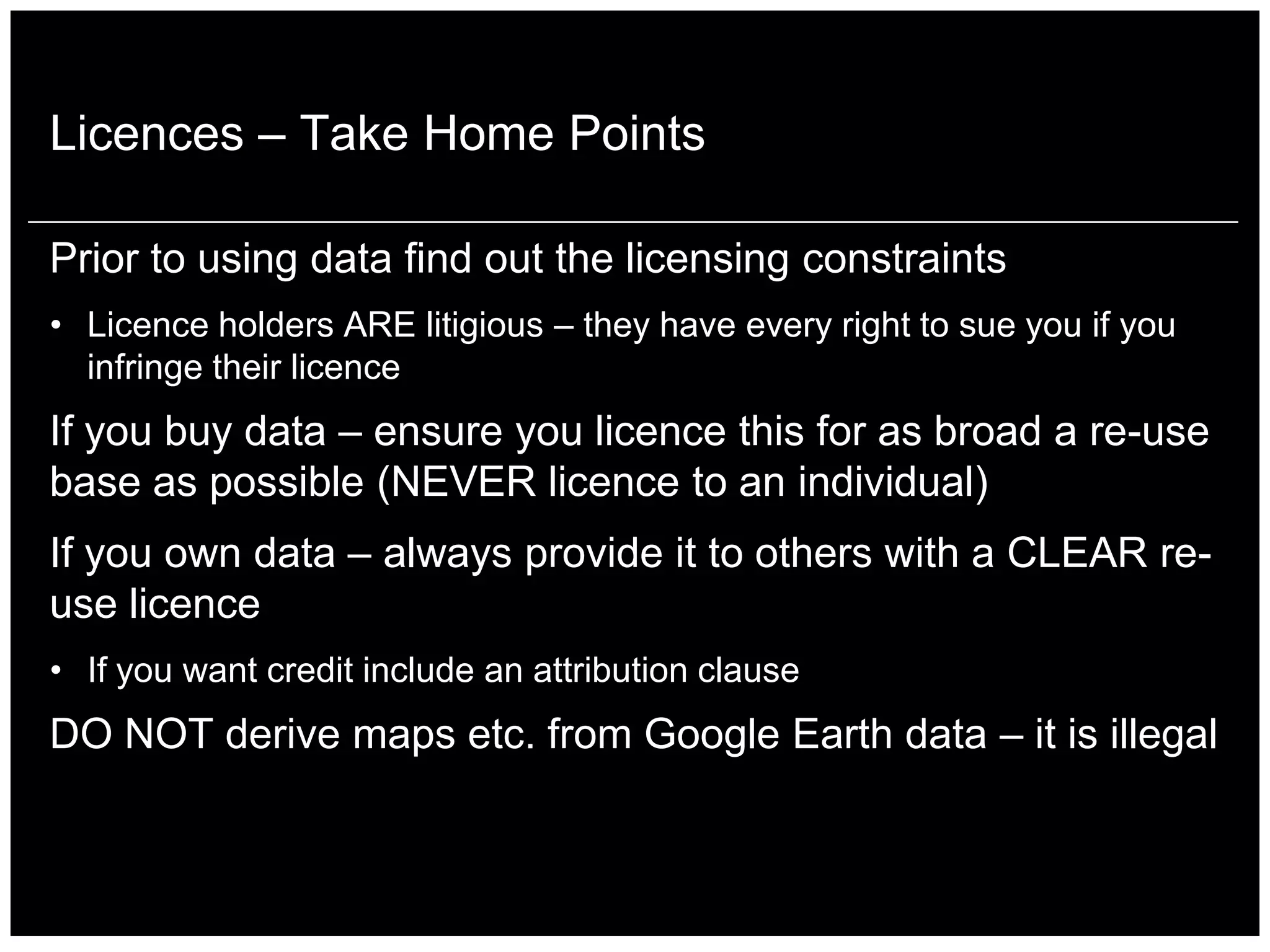
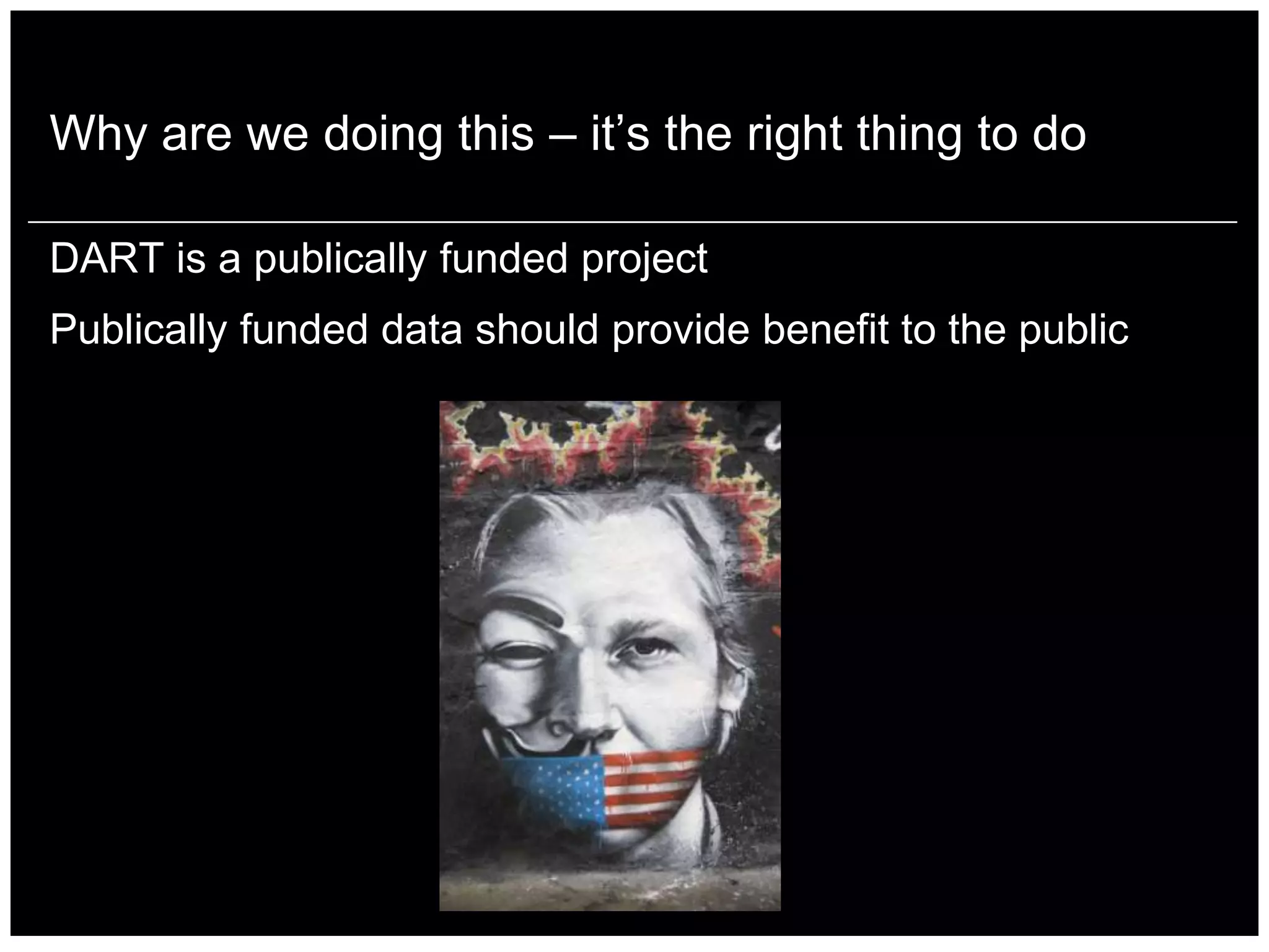

The document discusses the pros and cons of proprietary versus free and open-source software (FOSS) in geospatial applications, highlighting the robust support for proprietary software alongside community-driven advantages of FOSS. It emphasizes the importance of understanding data licenses, detailing how they dictate ownership, usage, and distribution rights, particularly for satellite imagery. The DART project is mentioned as an initiative to promote open data accessibility for public benefit and education, reinforcing the need for proper licensing in data use.


![Vibe Coding vs. Spec-Driven Development [Free Meetup]](https://cdn.slidesharecdn.com/ss_thumbnails/vibecodingvsspecdrivendevelopment-251209105622-43f455e7-thumbnail.jpg?width=640&height=640&fit=bounds)


