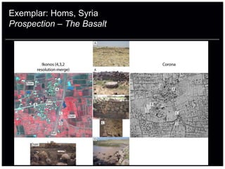
Downloaded 55 times


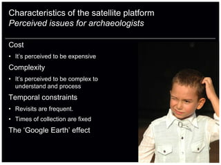


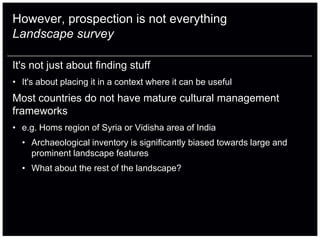


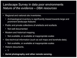
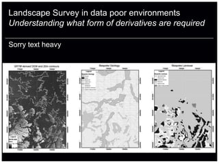


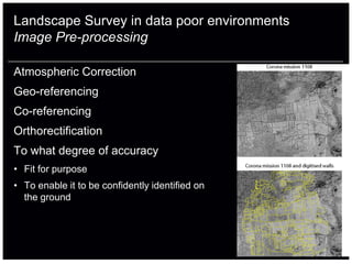


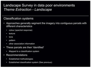

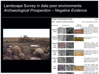
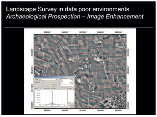

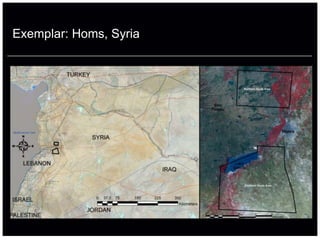


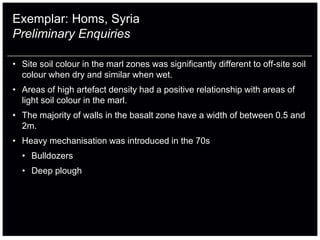

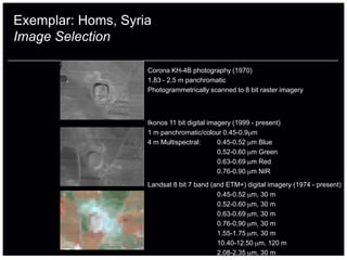


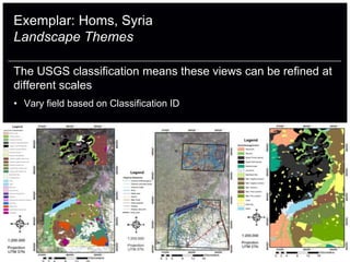


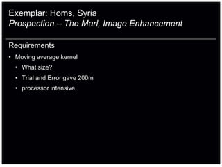
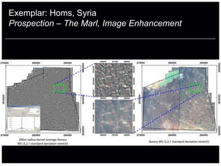


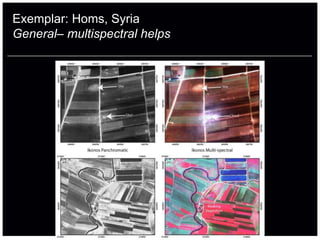
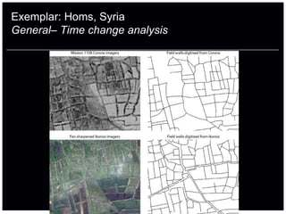
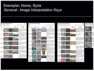


The document discusses the application of satellite archaeology, emphasizing its pros and cons, including complexities related to cost, resolution, and understanding. It highlights the use of satellite imagery for archaeological prospection and landscape surveys, particularly in data-poor environments, while also addressing issues of detection, classification, and image selection. Specific examples from areas like Homs, Syria are provided to illustrate the potential of satellite imagery in archaeological and landscape analysis.