Download to read offline

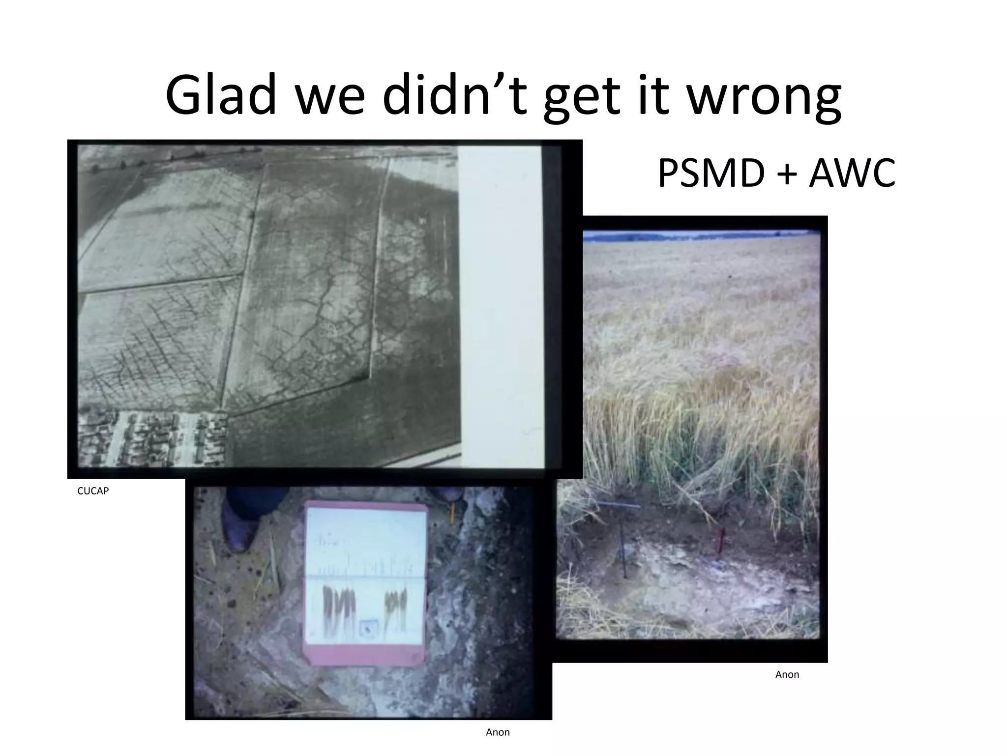
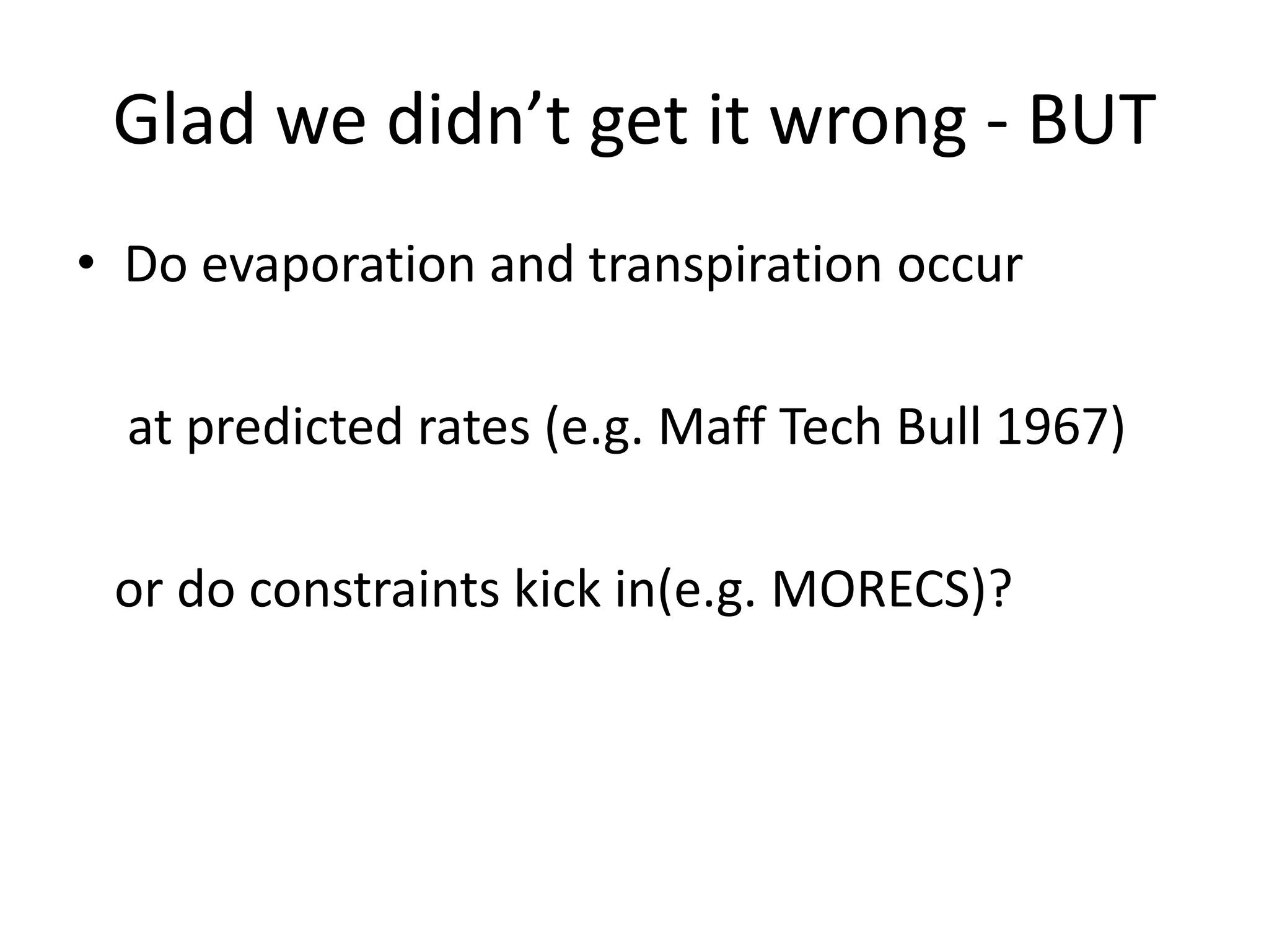
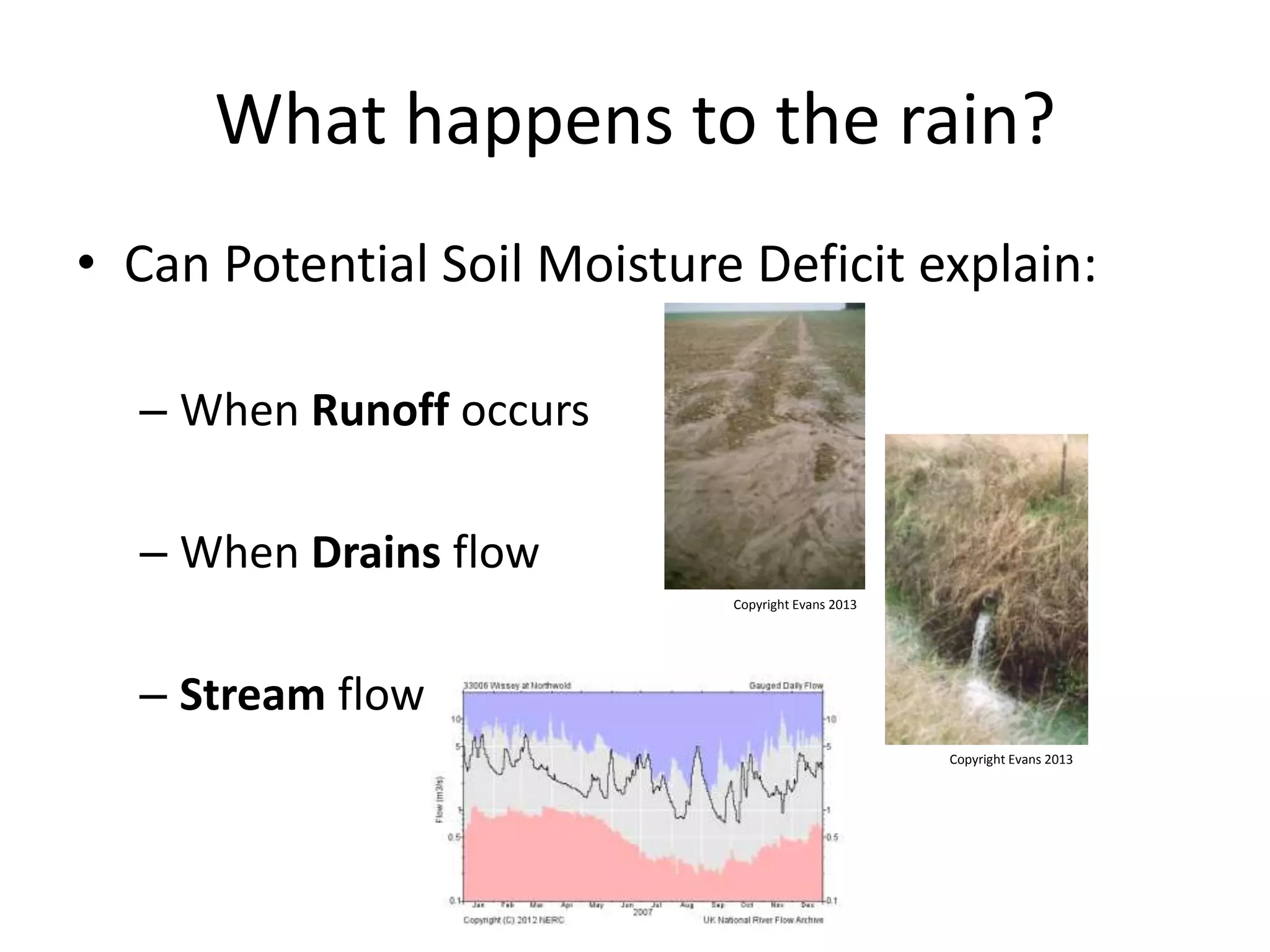
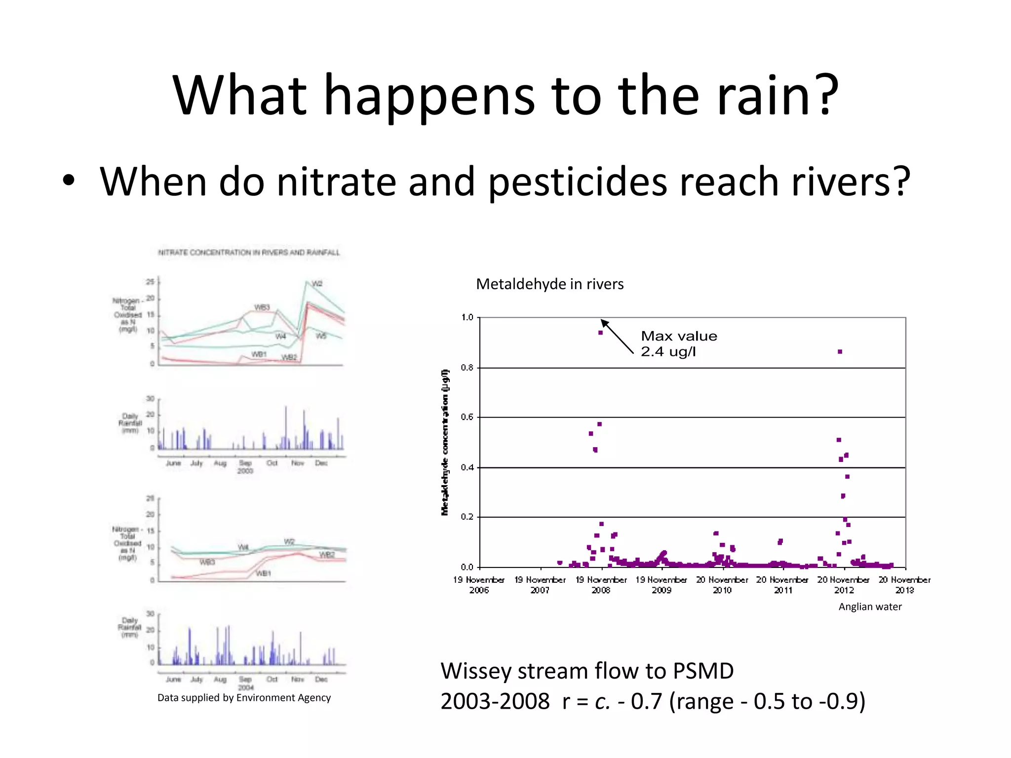

The document discusses the establishment of effective collaboration networks in agriculture, hydrology, and soils. Key points include the accuracy of evaporation and transpiration predictions, the relationship between soil moisture deficit and runoff, and the timing of nitrate and pesticide pollution in rivers. Additionally, it emphasizes the importance of accessible and usable data for informed discussions and decisions.


