Download to read offline


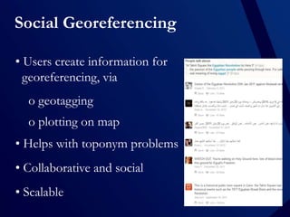


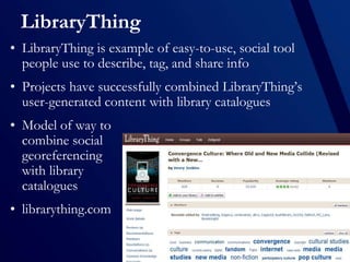


Social georeferencing allows users to collaboratively add geographic relevance to information by geotagging or plotting items on maps. The author discusses how libraries could leverage this by having the public help georeference objects in local history collections. Examples provided include the British Library crowdsourcing map georeferencing, OurOntario which digitized local collections with public contributions, and how Flickr and LibraryThing enable social georeferencing of photos and books. While quality control and maintaining engagement are challenges, incentives and promotion could encourage participation to make more of libraries' collections discoverable based on location.


