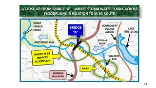
1) This document presents evidence through photographs and maps to argue for removing the proposed M-83 highway extension from Montgomery County's transportation plan. It shows how the highway would negatively impact floodplains along Great Seneca Creek and its tributaries.
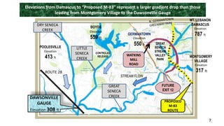
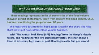
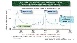
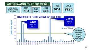
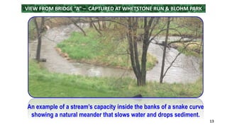
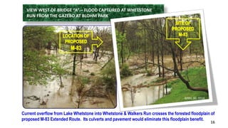
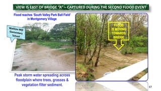
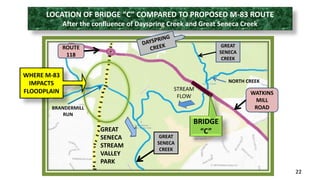
2) Photographs from April and May 2014 show floodplains absorbing high water volumes during peak flood events, with data from a USGS flood gauge confirming the flood levels. The proposed highway route would cross and degrade multiple forested floodplains.
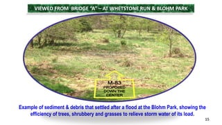
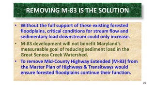
3) Building the highway would accelerate stormwater flows, increasing downstream flooding and sediment loads rather than reducing them as intended. Removing the highway from plans would protect the floodplains' ability to mitigate floods.