Downloaded 205 times


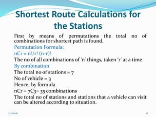


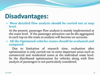


The document discusses route optimization algorithms, primarily focusing on vehicle routing problems (VRP) and methodologies for optimizing routing for efficient logistics. It highlights the importance of minimizing travel distances while considering vehicle capacities and customer demands, utilizing methods such as permutation enumerators and greedy search algorithms. The document concludes by emphasizing the need for effective routing strategies based on known conditions, with suggestions for future improvements in methodology and flow analysis.