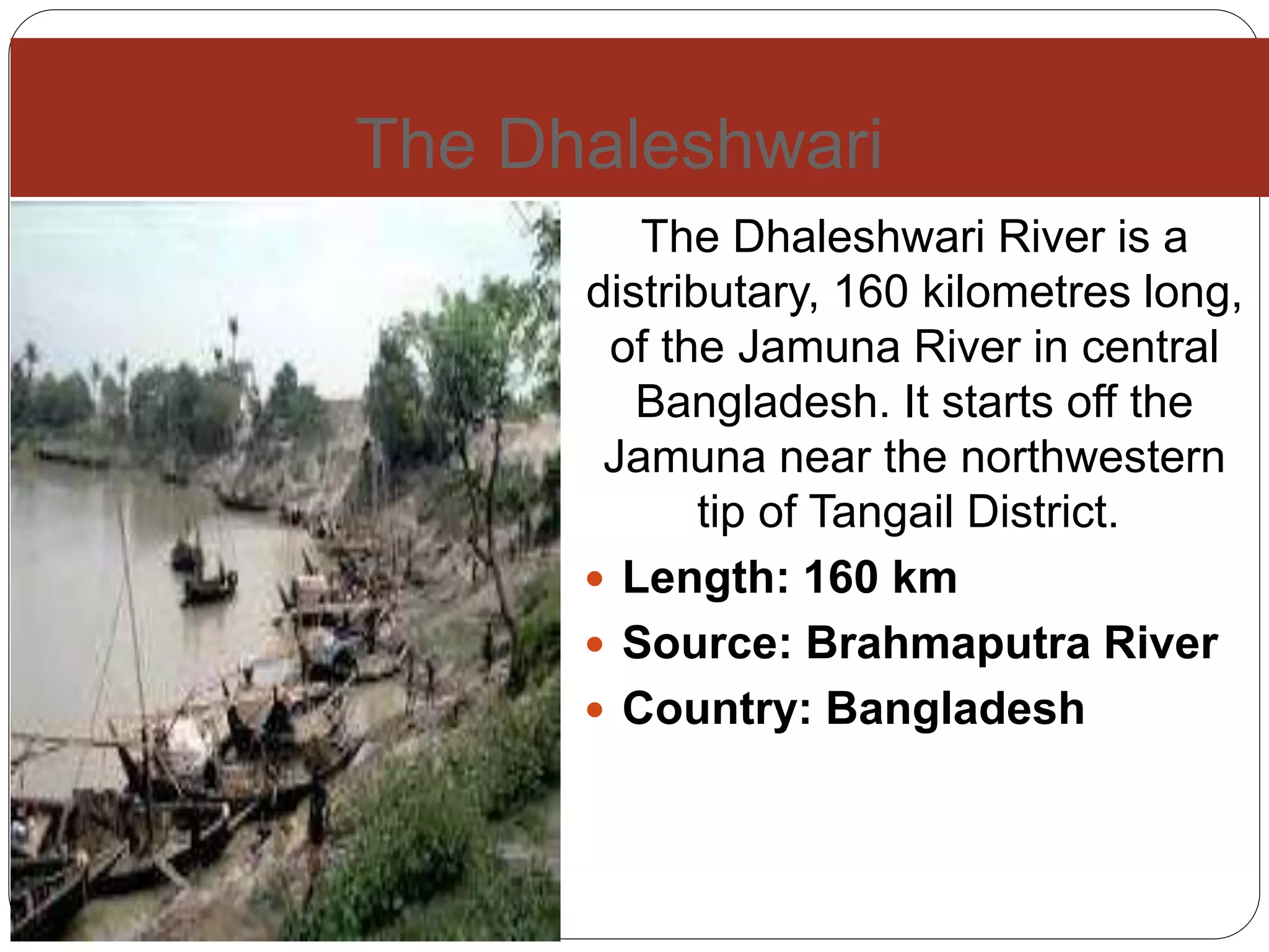
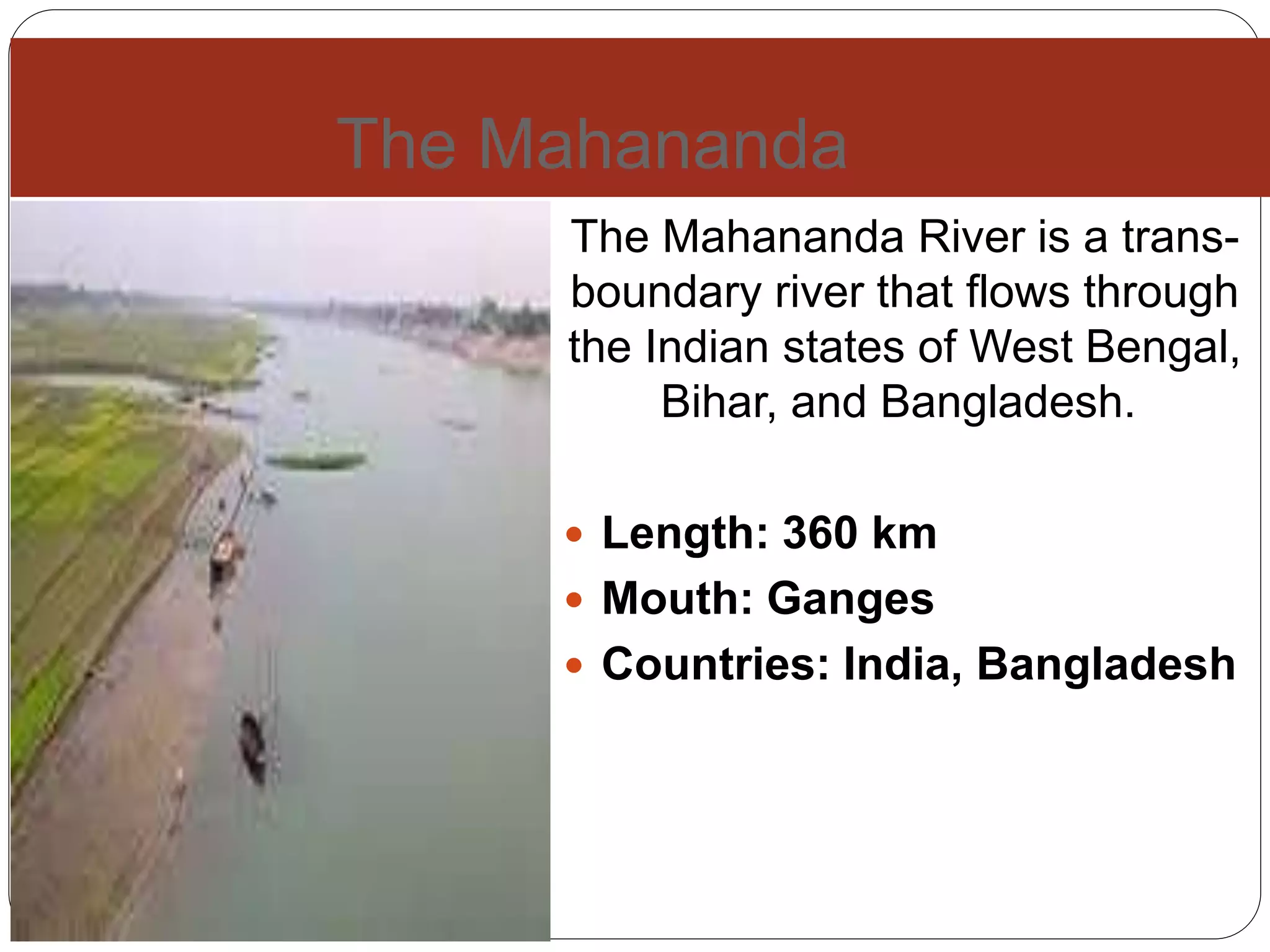
Bngladesh is a small
country. There are so many
rivers in Bangladesh. I want
to introduce some of
rivers in Bangladesh.
River of Bangladesh
Padma is a major river in Bangladesh. It
is the main distributary of the Ganges,
flowing generally southeast for 120
kilometres to its confluence with the
Meghna River near the Bay of Bengal.
Length: 120 km
Discharge: 35,000 m³/s
Source: Himalayas
Mouth: Bay of Bengal
Bridges: Hardinge Bridge, Lalon Shah
Bridge
Countries: India, Bangladesh
Cities: Rajshahi
The Padma
The Meghna
The Meghna River is one of the
most important rivers in
Bangladesh, one of the three
that forms the Ganges Delta,
the largest delta on earth
fanning out to the Bay of
Bengal.
 Length: 264 km
 Country: Bangladesh
 Mouth: Bay of Bengal
 Sources: Surma River,
Kushiyara River
 Bridges: Meghna Bridge
The Jamuna
The Jamuna River is one of
the three main rivers of
Bangladesh. It is the main
distributary channel of the
Brahmaputra River as it flows
from India to Bangladesh
 Length: 205 km
 Basin area: 47,000 km²
 Source: Chemayung-Dung
glacier
 Bridges: Bangabandhu
Bridge
 Countries: India,
The Brahmaputra
The Brahmaputra is one of the major
rivers of Asia, a trans-boundary river
which flows through China, India and
Bangladesh. As such, it is known by
various names in the region.
 Length: 2,900 km
 Basin area: 651,334 km²
 Discharge: 19,300 m³/s
 Source: Himalayas
 Mouth: Bay of Bengal
 Countries: India, Bangladesh
 Bridges: Bogibeel Bridge,
Naranarayan Setu, Dhola-Sadiya
bridge
The Ganges
The Ganges, also Ganga is a trans-
boundary river of Asia which flows
through the nations of India and
Bangladesh.
 Length: 2,525 km
 Basin area: 1.08 million km²
 Country: India
 Mouth: Ganges Delta
 Sources: Nanda Kot,
Kedarnath, Nanda Devi, Trisul,
Satopanth Glacier, Gangotri
Glacier, Kamet
 Cities: Varanasi, Haridwar,
The Karnaphuli
Karnaphuli, the largest and
most important river in
Chittagong and the Chittagong
Hill Tracts, is a 667-metre wide
river in the south-eastern part of
Bangladesh.
 Length: 270 km
 Source: Lushai Hills
 Mouth: Bay of Bengal
 Country: Bangladesh
 Cities: Chittagong, Rangamati
The Buriganga
The Buriganga River flows
past the southwest outskirts
of Dhaka city, the capital of
Bangladesh. Its average
depth is 7.6 metres and its
maximum depth is 18
metres.
 Length: 42 km
 Source: Dhaleshwari
River
 Country: Bangladesh
The Dhaleshwari
The Dhaleshwari River is a
distributary, 160 kilometres long,
of the Jamuna River in central
Bangladesh. It starts off the
Jamuna near the northwestern
tip of Tangail District.
 Length: 160 km
 Source: Brahmaputra River
 Country: Bangladesh
The Mahananda
The Mahananda River is a trans-
boundary river that flows through
the Indian states of West Bengal,
Bihar, and Bangladesh.
 Length: 360 km
 Mouth: Ganges
 Countries: India, Bangladesh
The Shitalakshya
Shitalakshya River is a
distributary of the Brahmaputra.
In its initial stages it flows in a
southwest direction and then
east of the city of Narayanganj
in central Bangladesh until it
merges with the Dhaleswari
near Kalagachhiya.
 Length: 110 km
 Country: Bangladesh
 Cities: Narayanganj
The Dharla
The Dharla River is one of
Bangladesh's trans-boundary
rivers. It originates in the
Himalayas where it is known as
the Jaldhaka River, and then it
flows through the Jalpaiguri and
Cooch Behar districts.
 Length: 62 km
 Country: Bangladesh
The Rupsha
The Rupsha River is a
river in southwestern
Bangladesh and a
distributary of the
Ganges. It forms from
the union of the Bhairab
and Atrai rivers, and
flows into the Pasur
River. Its entire length is
affected by tides.
 Country:
Bangladesh
 Bridges: Khan
Jahan Ali Bridge
This is the map of river

Rivers of bangladesh

  • 1.
    Bngladesh is asmall country. There are so many rivers in Bangladesh. I want to introduce some of rivers in Bangladesh. River of Bangladesh
  • 2.
    Padma is amajor river in Bangladesh. It is the main distributary of the Ganges, flowing generally southeast for 120 kilometres to its confluence with the Meghna River near the Bay of Bengal. Length: 120 km Discharge: 35,000 m³/s Source: Himalayas Mouth: Bay of Bengal Bridges: Hardinge Bridge, Lalon Shah Bridge Countries: India, Bangladesh Cities: Rajshahi The Padma
  • 3.
    The Meghna The MeghnaRiver is one of the most important rivers in Bangladesh, one of the three that forms the Ganges Delta, the largest delta on earth fanning out to the Bay of Bengal.  Length: 264 km  Country: Bangladesh  Mouth: Bay of Bengal  Sources: Surma River, Kushiyara River  Bridges: Meghna Bridge
  • 4.
    The Jamuna The JamunaRiver is one of the three main rivers of Bangladesh. It is the main distributary channel of the Brahmaputra River as it flows from India to Bangladesh  Length: 205 km  Basin area: 47,000 km²  Source: Chemayung-Dung glacier  Bridges: Bangabandhu Bridge  Countries: India,
  • 5.
    The Brahmaputra The Brahmaputrais one of the major rivers of Asia, a trans-boundary river which flows through China, India and Bangladesh. As such, it is known by various names in the region.  Length: 2,900 km  Basin area: 651,334 km²  Discharge: 19,300 m³/s  Source: Himalayas  Mouth: Bay of Bengal  Countries: India, Bangladesh  Bridges: Bogibeel Bridge, Naranarayan Setu, Dhola-Sadiya bridge
  • 6.
    The Ganges The Ganges,also Ganga is a trans- boundary river of Asia which flows through the nations of India and Bangladesh.  Length: 2,525 km  Basin area: 1.08 million km²  Country: India  Mouth: Ganges Delta  Sources: Nanda Kot, Kedarnath, Nanda Devi, Trisul, Satopanth Glacier, Gangotri Glacier, Kamet  Cities: Varanasi, Haridwar,
  • 7.
    The Karnaphuli Karnaphuli, thelargest and most important river in Chittagong and the Chittagong Hill Tracts, is a 667-metre wide river in the south-eastern part of Bangladesh.  Length: 270 km  Source: Lushai Hills  Mouth: Bay of Bengal  Country: Bangladesh  Cities: Chittagong, Rangamati
  • 8.
    The Buriganga The BurigangaRiver flows past the southwest outskirts of Dhaka city, the capital of Bangladesh. Its average depth is 7.6 metres and its maximum depth is 18 metres.  Length: 42 km  Source: Dhaleshwari River  Country: Bangladesh
  • 9.
    The Dhaleshwari The DhaleshwariRiver is a distributary, 160 kilometres long, of the Jamuna River in central Bangladesh. It starts off the Jamuna near the northwestern tip of Tangail District.  Length: 160 km  Source: Brahmaputra River  Country: Bangladesh
  • 10.
    The Mahananda The MahanandaRiver is a trans- boundary river that flows through the Indian states of West Bengal, Bihar, and Bangladesh.  Length: 360 km  Mouth: Ganges  Countries: India, Bangladesh
  • 11.
    The Shitalakshya Shitalakshya Riveris a distributary of the Brahmaputra. In its initial stages it flows in a southwest direction and then east of the city of Narayanganj in central Bangladesh until it merges with the Dhaleswari near Kalagachhiya.  Length: 110 km  Country: Bangladesh  Cities: Narayanganj
  • 12.
    The Dharla The DharlaRiver is one of Bangladesh's trans-boundary rivers. It originates in the Himalayas where it is known as the Jaldhaka River, and then it flows through the Jalpaiguri and Cooch Behar districts.  Length: 62 km  Country: Bangladesh
  • 13.
    The Rupsha The RupshaRiver is a river in southwestern Bangladesh and a distributary of the Ganges. It forms from the union of the Bhairab and Atrai rivers, and flows into the Pasur River. Its entire length is affected by tides.  Country: Bangladesh  Bridges: Khan Jahan Ali Bridge
  • 14.
    This is themap of river