Remote Sensing
• Remotesensing is modern agricultural system by providing valuable
information about crop health,soil conditions,water management and
farm management.
• Remote sensing is mainly done for data acquistion or data collection
for potential precision agriculture
• Remote sensing done by airplane and satelliete.
• It can play real role of information provider such as detectioj of
disease affected gain
2.
• In 1970satelliete yechnology showed less attention on agriculture sector.
• Satellite does not have spatial resolution,temporal frequency and
delivery times.
• In 1980 crop spectral and radimetric relationships of helped the field of
crop management
• In 1990 potential of remote sensing acquire information for identifying
and analyzing site-soil spatial and temporal varaiability
• India has several remote sensing satellites are RESOUCESAT-
2”.RESOURCESAT-2A,and RESOURCESAT-2E.
• RESOURCESAT-2 operated by ISRO and provide identification of crop
health monitoring,drought assesment,soil and moisture estimation and
yield prediction
3.
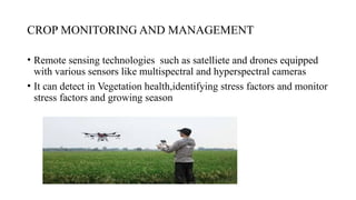
CROP MONITORING ANDMANAGEMENT
• Remote sensing technologies such as satelliete and drones equipped
with various sensors like multispectral and hyperspectral cameras
• It can detect in Vegetation health,identifying stress factors and monitor
stress factors and growing season
4.
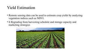
Yield Estimation
• Remotesensing data can be used to estimate crop yields by analyzing
vegetation indices such as NDVI.
• It Regrading from harvesting schedule and storage capacity and
marketing strategies
5.
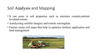
Soil Analysis andMapping
• It can asses in soil properties such as moisture content,nutrient
leveland texture.
• Aanalyzsing satellite imagery and remote sensingdata.
• Farmer create soil maps that help in optimize fertlizer application and
land management
6.
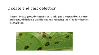
Disease and pestdetection
• Farmer to take proactive measures to mitigate the spread on disease
and pests,minimizing yield losses and reducing the need for chemical
interventions
7.
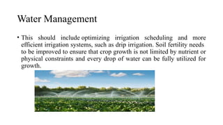
Water Management
• Thisshould include optimizing irrigation scheduling and more
efficient irrigation systems, such as drip irrigation. Soil fertility needs
to be improved to ensure that crop growth is not limited by nutrient or
physical constraints and every drop of water can be fully utilized for
growth.
8.
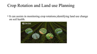
Crop Rotation andLand use Planning
• It can assists in monitoring crop rotations,identifying land use change
on soil health.
9.
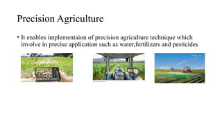
Precision Agriculture
• Itenables implementaion of precision agriculture technique which
involve in precise application such as water,fertilizers and pesticides