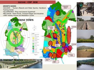
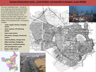
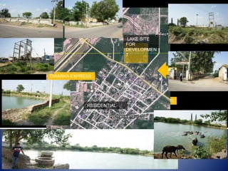
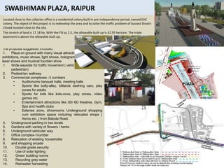
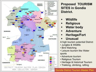
Download as PPSX, PPTX

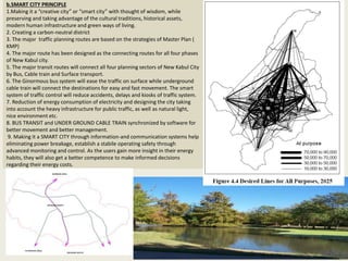
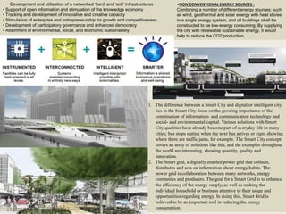
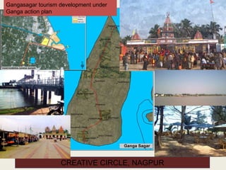
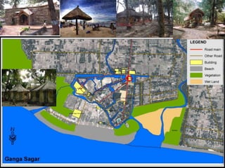


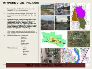
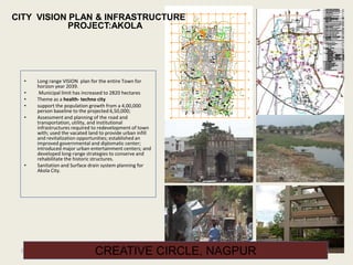
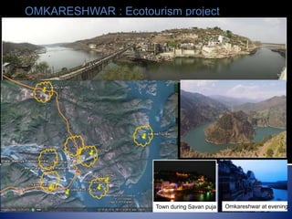
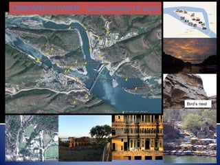


Creative Circle, established in Nagpur in 1964, offers a range of consultancy services including city planning, architectural design, urban redevelopment, and environmental consultancy across several states in India. The company aims to implement sustainable development through innovative solutions and collaboration with local governments, focusing on eco-tourism and smart city initiatives. Their notable projects include the structure plan for the New Kabul City in Afghanistan and various tourism development plans in India.


