Download to read offline


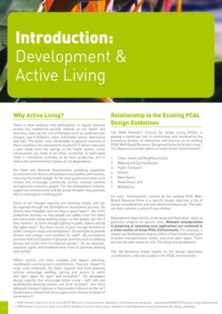
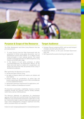
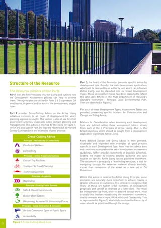
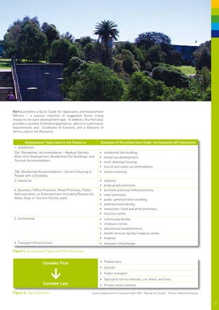
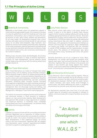
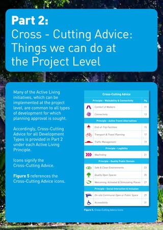


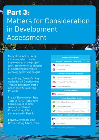
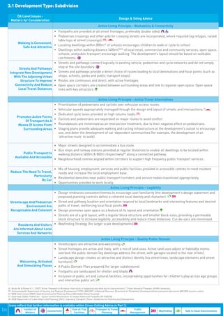


This document introduces a resource to help promote active living through the development assessment process. It outlines five principles of active living - walkability and connectivity, active travel alternatives, legibility, quality public domain, and social interaction and inclusion. The resource aims to assist councils and the state government in developing policies, and to advise consultants, applicants, and assessment officers. It provides advice on matters to consider for different development types, such as residential, industrial, and transport infrastructure projects. The resource draws from an existing website of the Premier's Council for Active Living that provides design guidelines for environments like streets, open spaces, and workplaces.


