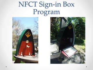
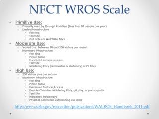
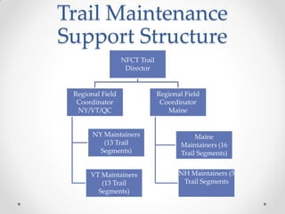
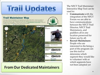
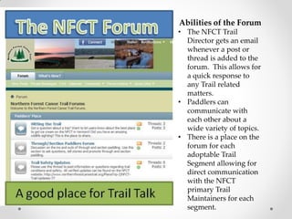
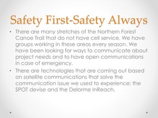
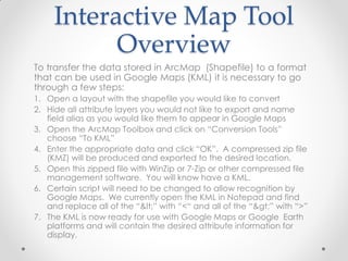
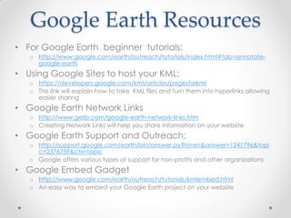
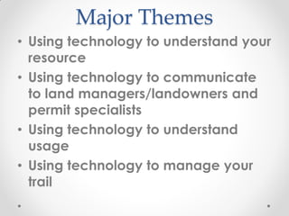
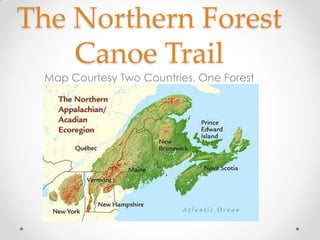
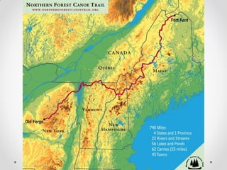
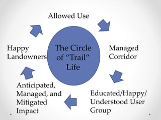
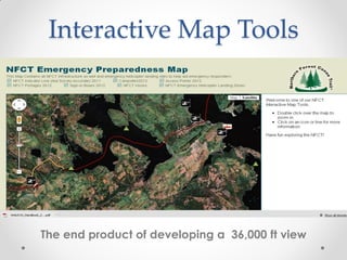
This document summarizes a presentation about integrating technology into water trail management practices. It discusses using technology to understand the resource by compiling spatial data and conducting field surveys. It also discusses using technology to communicate with land managers, understand usage through sign-in boxes and surveys, and manage the trail through mapping software and standards. The presentation provides examples from the Northern Forest Canoe Trail of implementing these practices.


![Sample Attribute Data Fields
Campsites Layer – Attribute Table [Draft]
FID – assigned by ArcGIS based on the order the points were entered
Shape – ‘Point’
Id – unique ID #
Name
Town
State
NFCTMap
Type –
campsite
campground
LandType –
public
private
OwnrLstNme – Landowner Last Name
OwnrFstNme – Landowner First Name
Org – Organization represented by landowner
SiteMntnr – Site Maintainer: NFCT, NYDEC, etc
NoOfSites – 1, 2, 3, etc
Lean_to – Y [yes] or N [no]
LeantoCond – Lean-to Condition
Poor[YYYY]
Good[YYYY]
Excellent[YYYY]
New[YYYY]
Toilet –
Wet willy
Moldering
Pit
Beyond the bin
ToiletCond – Toilet Condition
Poor[YYYY]
Good[YYYY]
Excellent[YYYY]
New[YYYY]
PicnicTable – Y or N
PTCond –
Poor[YYYY]
Good[YYYY]
Excellent[YYYY]
New[YYYY]
FireRing – Y or N
AccesNotes – Access Notes
AccessCond – Access Condition
Poor[YYYY]
Word Write Up
Attribute Table](https://image.slidesharecdn.com/opuszybskiwalter-integratingtechnologywatertrailsnfct-140621131427-phpapp02/85/Integrating-Technology-into-Water-Trail-Managemetnt-Practices-Walter-Opuszynski-Northern-Forest-Canoe-Trail-16-320.jpg)