Download to read offline


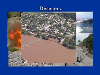
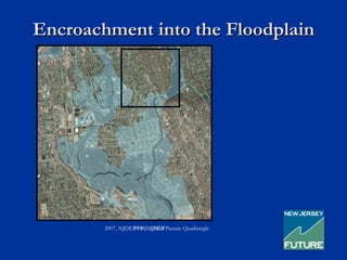
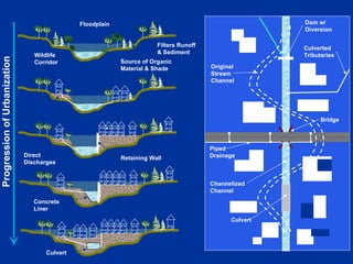

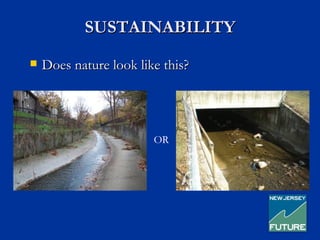
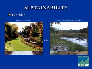
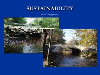
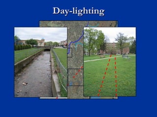
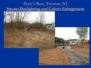
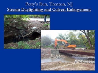


This document discusses strategies for reclaiming flood storage during redevelopment projects. It notes that floodplains have been increasingly developed, removing natural flood protections. To improve sustainability, it advocates for "green infrastructure" approaches like daylighting streams, removing culverts, and de-channelizing streams to restore natural flood storage and mitigation functions. These projects provide environmental and safety benefits but must be implemented gradually over decades through coordinated planning and grant funding.


