Downloaded 174 times
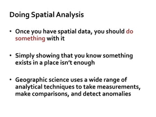

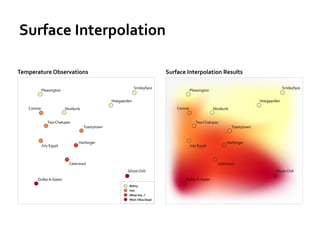

The document discusses spatial analysis techniques in geographic science, emphasizing the importance of analyzing spatial data beyond merely identifying its existence. It covers methods such as overlay, buffering, surface analysis, and cluster detection, with examples like John Snow's cholera outbreak map illustrating the application of these techniques. The lesson highlights the need for effective analysis to uncover meaningful insights from spatial data.