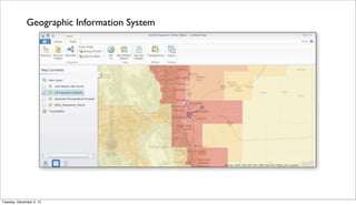
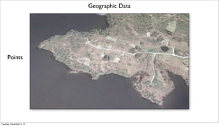
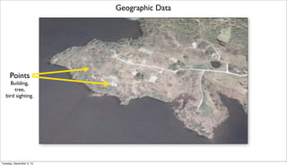
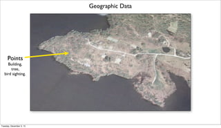
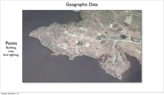
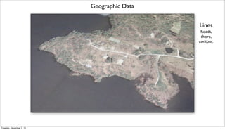
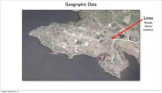
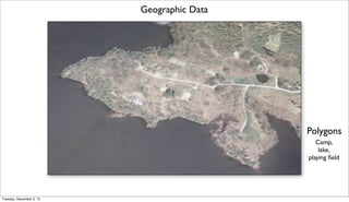
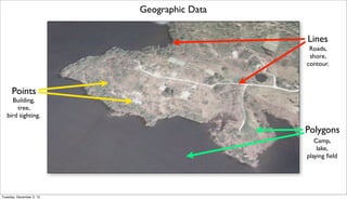
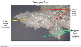
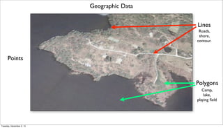
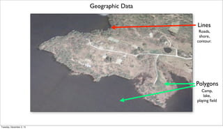
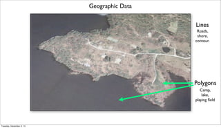
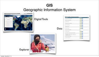
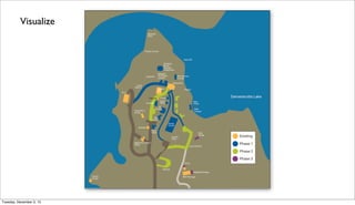
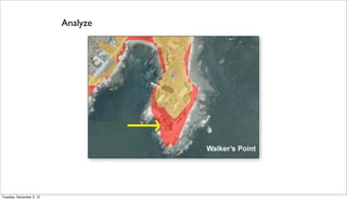
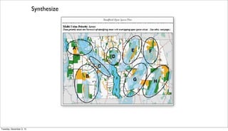
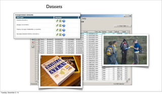
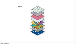
Geographic Information Systems (GIS) allow users to visualize, analyze, and synthesize geographic data. GIS data comes in three primary forms: points (e.g. buildings, trees), lines (e.g. roads, shorelines), and polygons (e.g. lakes, fields). GIS is a digital tool that uses geographic data and layers to explore relationships and patterns spatially.