Download to read offline
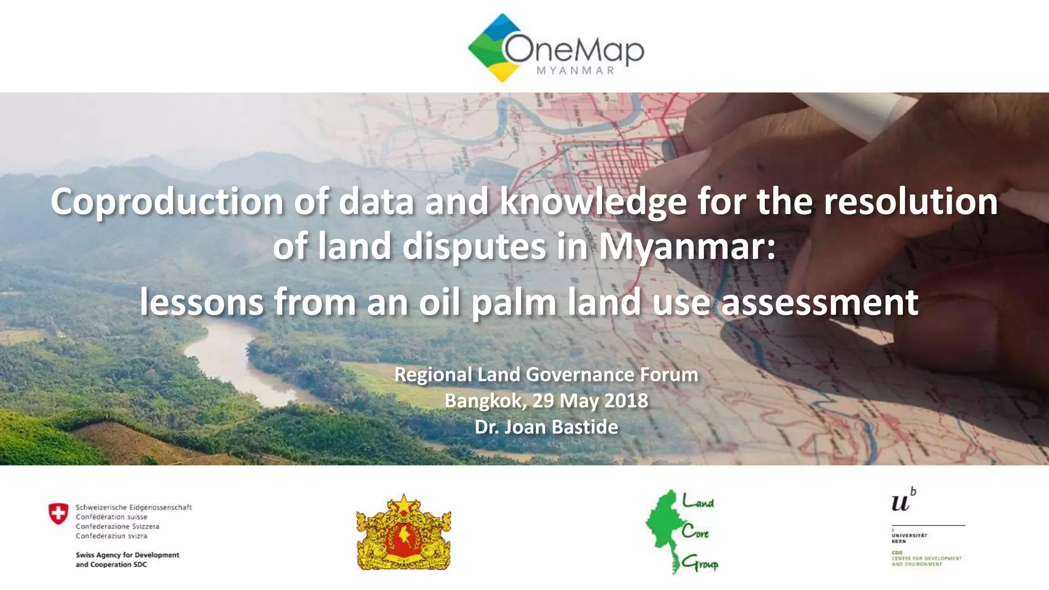
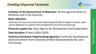

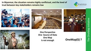
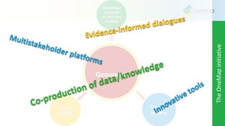
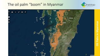
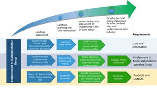
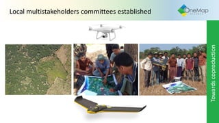
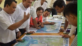
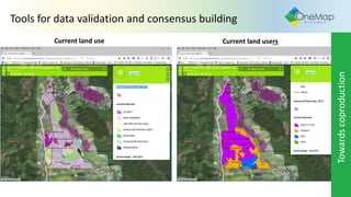
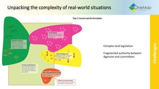
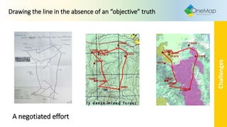
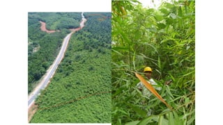
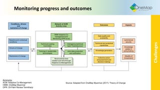

1) The document discusses a coproduction initiative in Myanmar between government agencies and other stakeholders to generate and share land-related spatial data through an open-access database to support land management and dispute resolution. 2) It notes that while data is important, knowledge is also needed to navigate trade-offs and support equitable decision making regarding land use. 3) The initiative conducted assessments of oil palm concessions in Tanintharyi region, including mapping boundaries and land use, to inform policymaking and dispute resolution. This involved a multi-tiered approach using different levels of detail.


