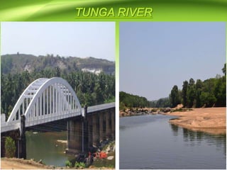
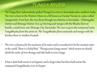
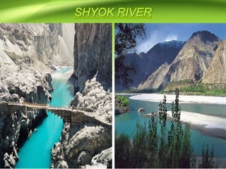
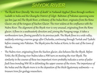
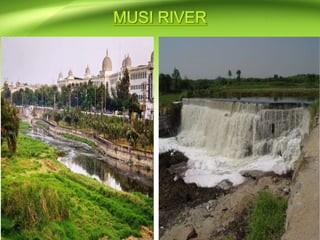
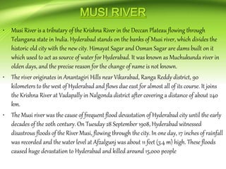
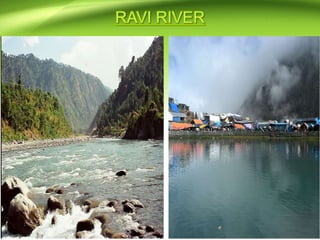
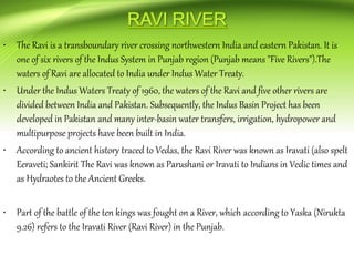
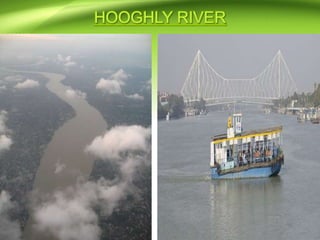
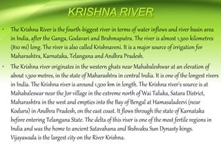
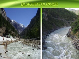
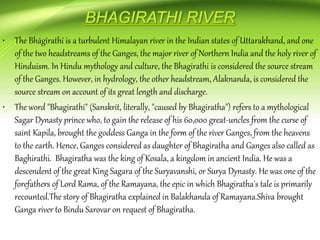
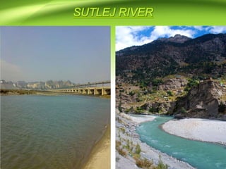
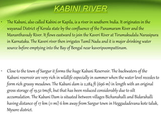
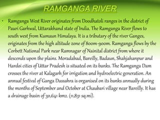
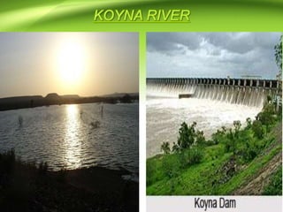
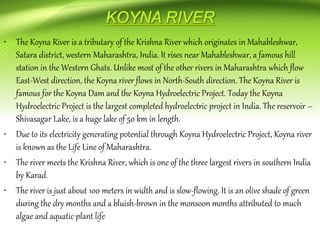
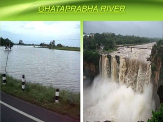
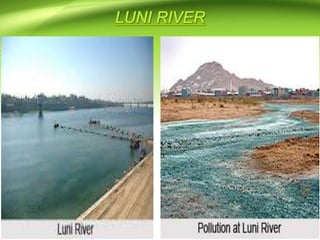
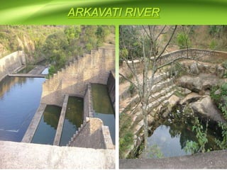
This document lists the names of 43 major rivers in India. It then provides more detailed descriptions of 5 key rivers:
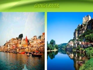
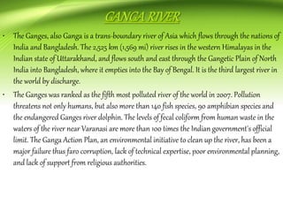
- The Ganges, which flows through India and Bangladesh and is the third largest river in the world by discharge. It is severely polluted.
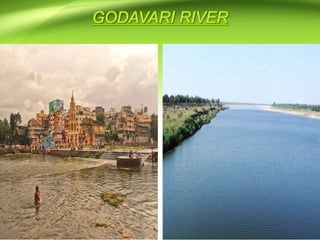
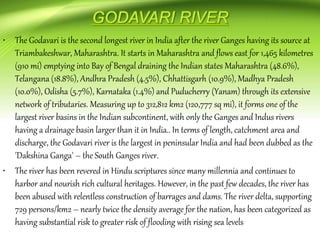
- The Godavari, which is the second longest river in India and flows through several states before emptying into the Bay of Bengal.
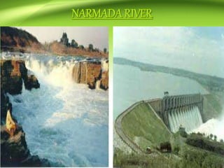
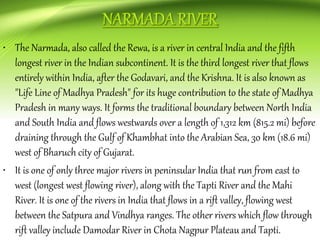
- The Narmada, which flows through central India before draining into the Arabian Sea.
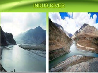
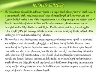
- The Indus, which flows through India, Pakistan, and Tibet and is the primary river of Pakistan.
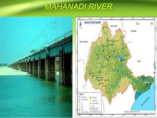
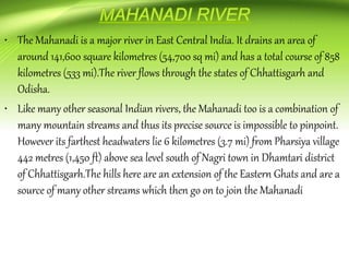
- The Mahanadi, which flows through Chhattisgarh and Odish

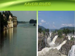
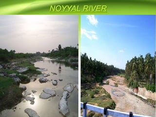
![• The Noyyal River is a small river in Western Tamil Nadu, and a tributary of Kaveri River. It
rises from the Vellingiri hills in the Western Ghats in Tamil Nadu, very close to Kerala
border, and flows through many villages and the cities of Coimbatore and Tirupur, finally
draining into the Kaveri River at Noyyal, a village in Karur district named after the river
itself. The river's basin is 180 km (110 mi) long and 25 km (16 mi) wide and covers a total
area of 3,500 km2 (1,400 sq mi). Cultivated land in the basin amounts to 1,800 km2 (690 sq
mi) while the population density is 120 people per km² (311/mi²) in the countryside, and
1000 people per km² (2590/mi²) in the cities. The area is known for its scanty rainfall and
the development of the Noyyal River Tanks System to hold any overflow from the rains plus
the water of the Northeast and Southwest monsoon season was ecologically important. The
173 km (107 mi) long tributary of the Kaveri River]filled 32 tanks. These interconnecting
tanks held the water flowing from the Noyyal.
• A critical issue is the pollution of the rivers Noyyal and Nallaru originating and flowing in
the Kongu region. The river flows with natural antibiotic minerals. The entire
Orathuppalayam Dam has become a tank holding effluent and releases water after every
rainfall, effectively polluting the down river villages in the Tirupur and Karur district.](https://image.slidesharecdn.com/indianrivers-170805200739/85/Indian-rivers-74-320.jpg)