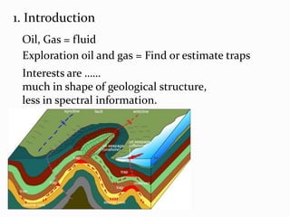
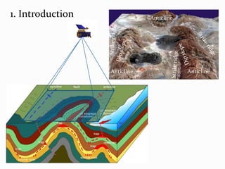
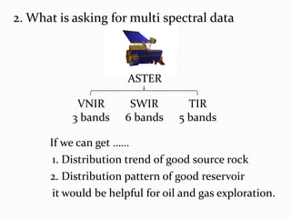
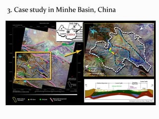
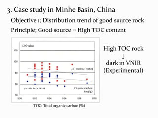
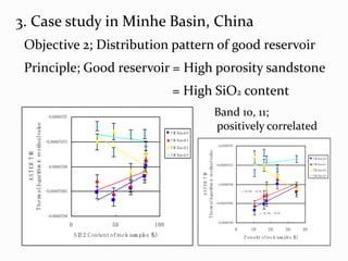
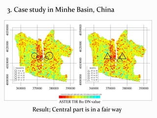
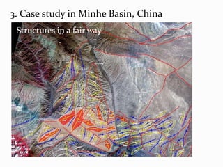
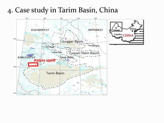
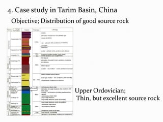
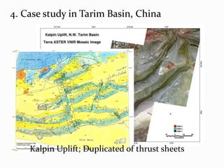
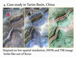
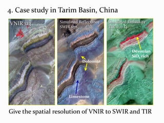
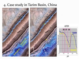
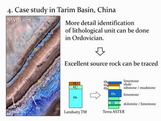
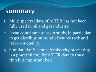
This document discusses using multi-spectral data from the ASTER satellite to aid in oil and gas exploration activities. It provides two case studies applying ASTER data in China - one in the Minhe Basin to identify trends in source rock distribution and reservoir quality, and another in the Tarim Basin to map the distribution of a good source rock unit. While the spatial resolution of ASTER data limits detailed lithological identification, simulated reflectance and emissivity processing can help trace thin but important beds. The document concludes that ASTER data has potential to contribute to basin studies by providing insight into source rock and reservoir distributions but is not yet fully utilized in the oil and gas industry.