Downloaded 29 times
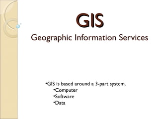
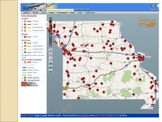
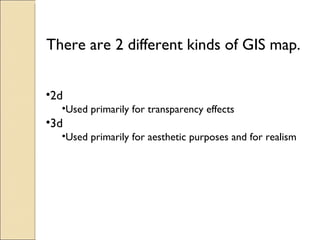
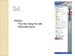
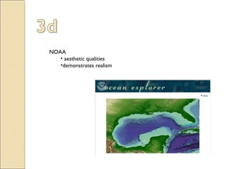
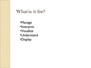
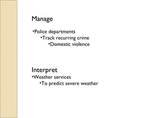
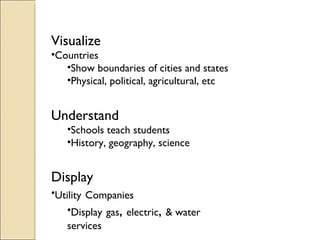
GIS (Geographic Information Systems) uses computer software and data to manage, interpret, visualize, understand, and display geographic information for a variety of purposes. GIS can use 2D or 3D maps, with 2D primarily used for transparency effects and 3D used for aesthetic purposes and realism. GIS is used by government agencies like police departments and MoDot to track crime, manage transportation, and utilities companies to map infrastructure. It also has applications in weather prediction, education, and more.


