Downloaded 228 times
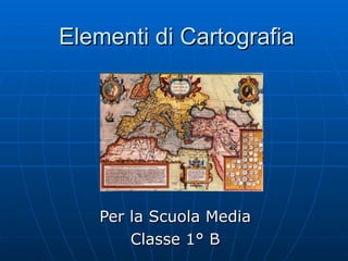
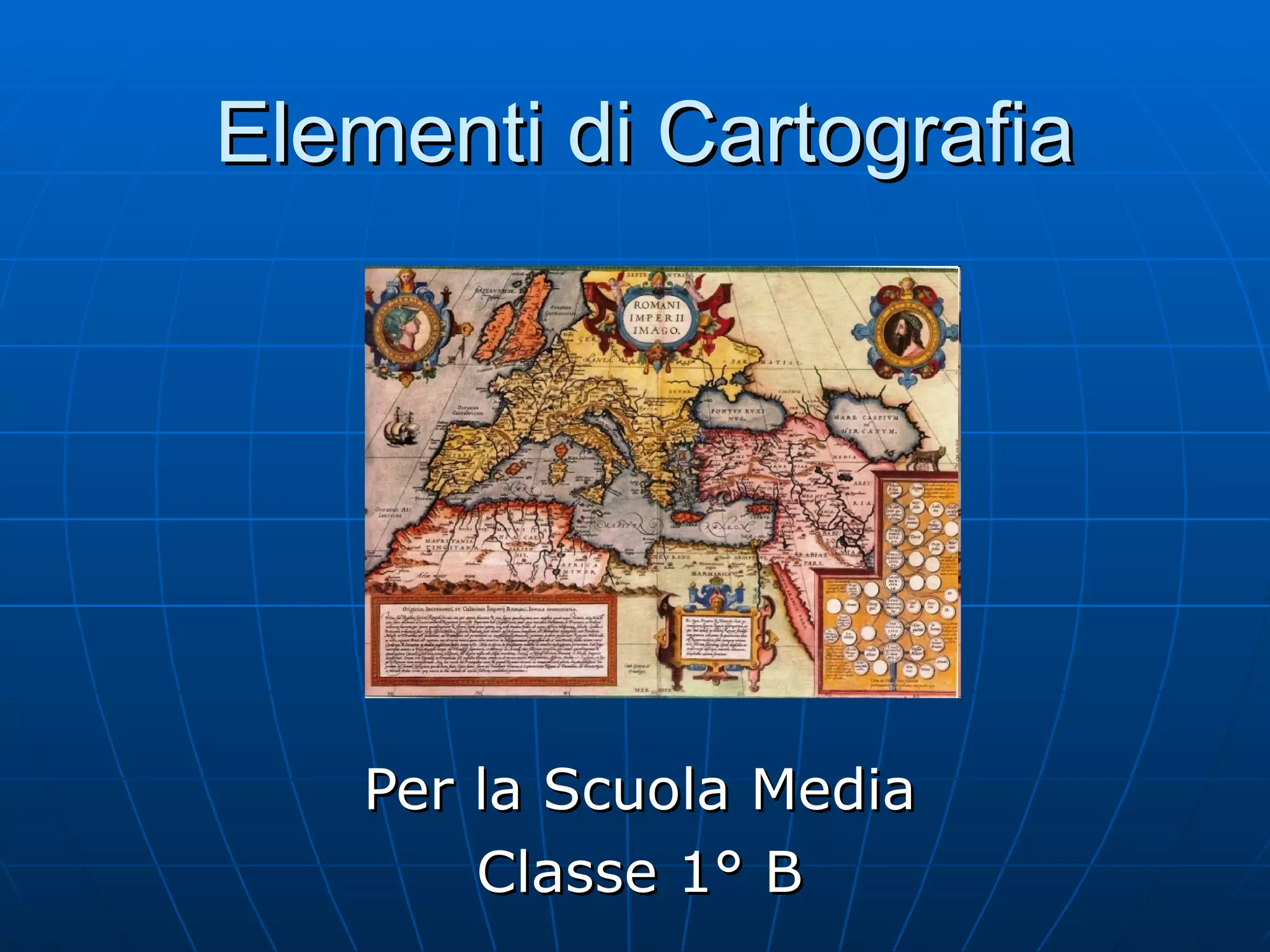
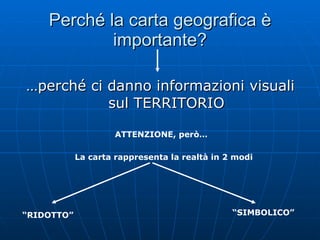
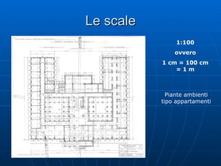
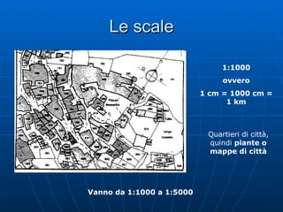
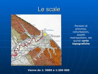
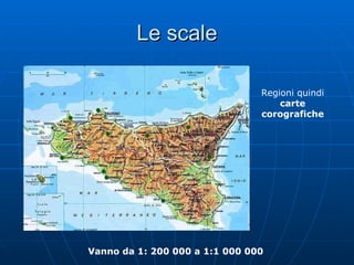
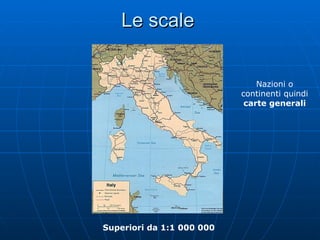
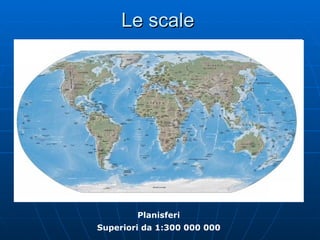


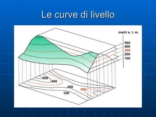
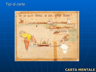
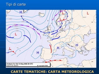
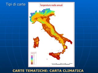
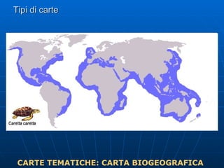
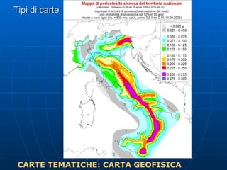
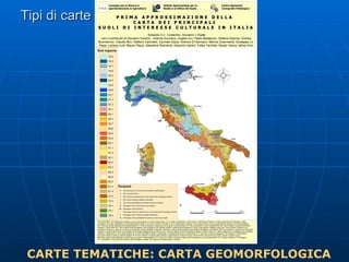
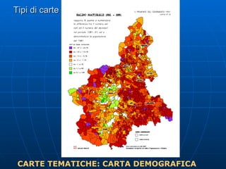
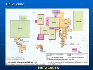

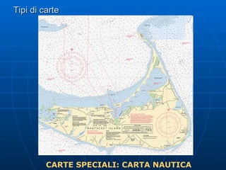
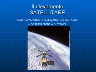
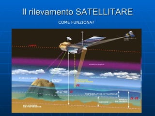
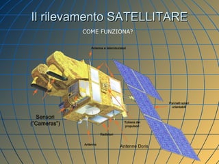
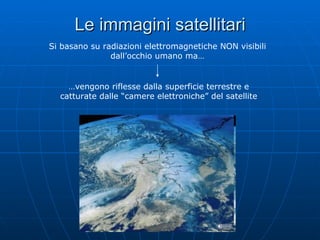
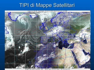
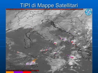
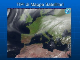


Il documento spiega l'importanza delle carte geografiche e i vari tipi di scale utilizzate per rappresentare il territorio, con esempi pratici per diverse aree geografiche. Vengono inoltre descritti diversi tipi di carte tematiche e speciali, nonché il funzionamento del rilevamento satellitare attraverso immagini basate su radiazioni elettromagnetiche. Infine, si evidenzia che le informazioni fornite sono a scopo didattico.


