Download as PDF, PPTX


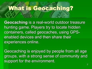
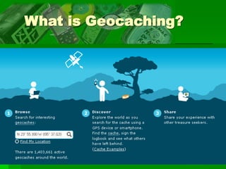
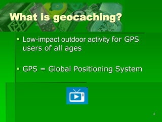


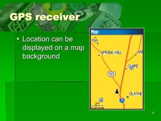

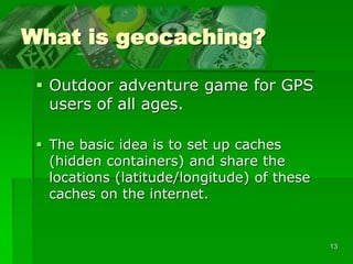
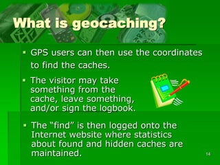


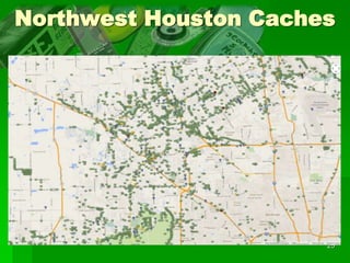
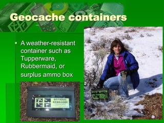
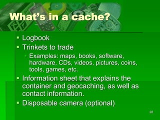
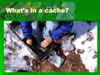


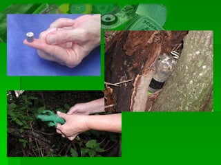


Geocaching is an outdoor treasure hunting game where players use GPS devices to find hidden containers called geocaches around the world. It began in 2000 when the first cache was hidden in Oregon. Now there are over 2 million active caches worldwide. Players navigate to coordinates, find caches containing logbooks and sometimes trade items, and log their discoveries online. It promotes environmentalism and outdoor recreation for people of all ages.


