Downloaded 10 times

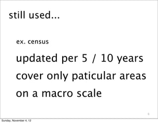
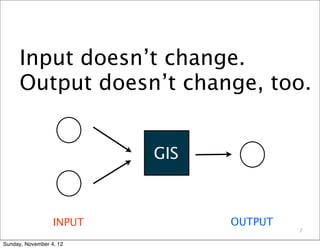
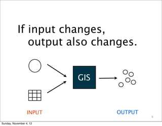
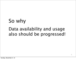
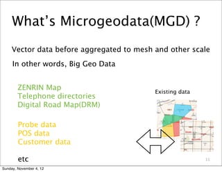
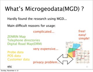
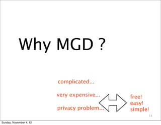
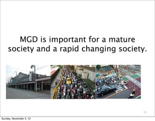
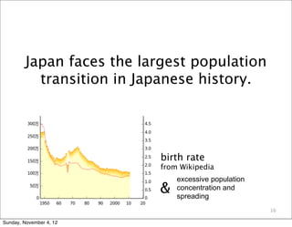
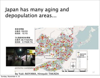


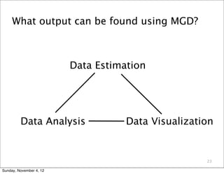
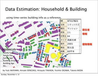
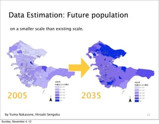
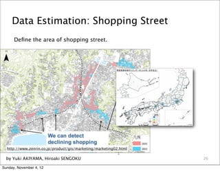
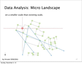
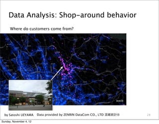
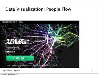
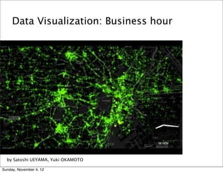

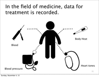
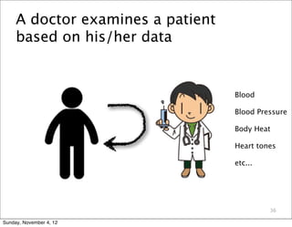
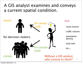


The document discusses microgeodata (MGD) and its potential to advance GIS. It introduces MGD as vector data at a finer scale than typically used, such as individual buildings and road segments. The document outlines challenges to using MGD like cost and privacy, but notes many sources are now freely available for research. Examples are given of analysis that can be done with MGD, such as estimating populations and visualizing people flows. The document advocates for more MGD research and discusses the speaker's work analyzing urban spaces using MGD as a "doctor examines a patient" based on available spatial data.


