Downloaded 63 times
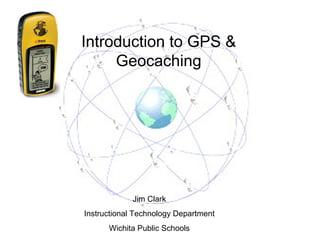

![Jim Clark Instructional Technology Department Wichita Public Schools [email_address] http://technology.usd259.org/resources/](https://image.slidesharecdn.com/educationalgeocachingpresentation-100504080533-phpapp01/85/Educational-geocaching-presentation-25-320.jpg)

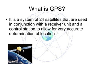
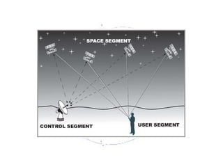
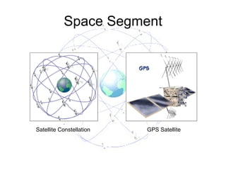
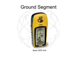
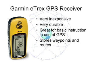
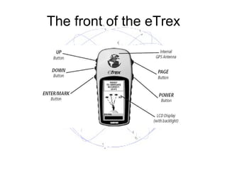
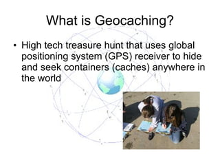
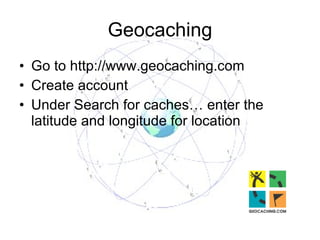
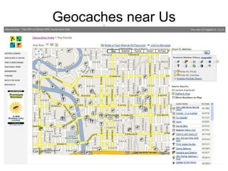
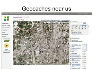
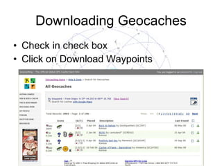
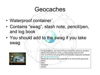
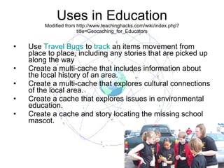
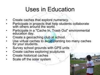
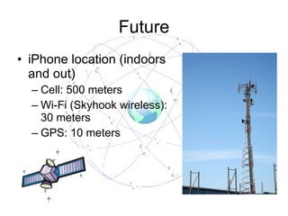
This document provides an introduction to GPS (Global Positioning System) and geocaching. It explains that GPS uses 24 satellites and a receiver unit to determine accurate locations. Geocaching is described as a high-tech treasure hunt that uses GPS to hide and find containers anywhere in the world. The document gives instructions on how to find geocaches using a website and GPS unit. It provides examples of how geocaching can be used for educational purposes in schools.

![Den 2 geocaching_day_2010[1]](https://cdn.slidesharecdn.com/ss_thumbnails/den2geocachingday20101-100514112711-phpapp02-thumbnail.jpg?width=640&height=640&fit=bounds)


