Downloaded 16 times
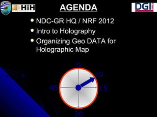

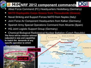


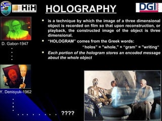


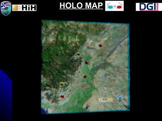


The document discusses creating holographic photomaps from satellite images. It begins with an introduction to the NATO Response Force (NRF) and NRF 2012, where the NDC-GR HQ is located. It then provides an introduction to holography and the process for organizing geospatial data to create a holographic map. This involves acquiring DEM and satellite imagery data, co-registering and importing it into 3D software, generating terrain, overlaying image and additional data layers, setting up a virtual camera, rendering views, and inputting the views into a digital holographic printer to create the final hologram. An example area along the Evros River is used. Potential next


