Download to read offline


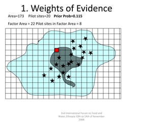
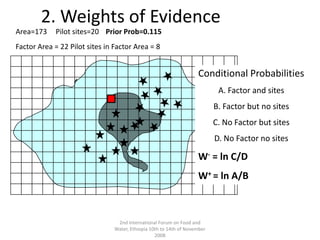
![2nd International Forum on Food and Water, Ethiopia 10th to 14th of November 20084. Weights of EvidenceConditional ProbabilitiesA. Pattern and sites B. Pattern but no sites C. No pattern but sites D. No pattern no sitesW- = ln C/DW+ = ln A/BOdds Post = ln (Odds Prior + ∑(W+ +W-)Post Prob = Odds Post /(1+ Odds Post )Area=173Pilot sites=20Prior Prob=0.115 Evidential Pattern Area = 22 Pilot sites in Pattern = 8Test of Conditional Independence of the evidential layersPosterior Probability=0.14P(SjF1F2) =[P(F2jS) P(F1jS) P(S) ] / [P(F2) P(F1)]](https://image.slidesharecdn.com/adaptingtochange-jrubiano-090923131754-phpapp02/85/Adapting-to-change-24-320.jpg)
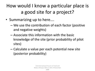


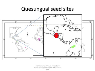
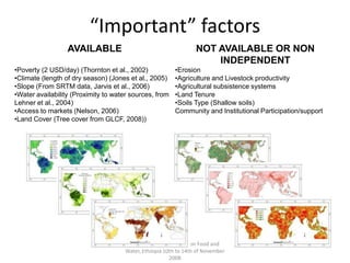
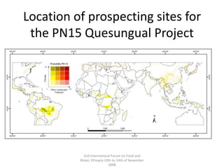
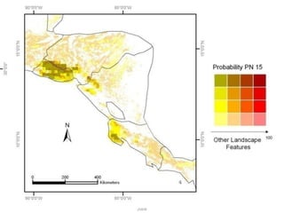
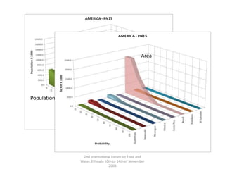


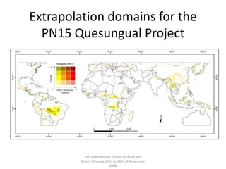
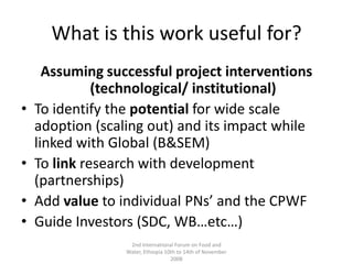
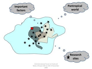
This document describes a method for identifying potential extrapolation domains for scaling out local development projects. The method uses available spatial data on important factors like poverty, climate, and market access to calculate posterior probabilities for new sites. A case study applies the method to identify prospecting sites for expanding a crop project in Guatemala. Feedback on the approach was mixed, but recognized it provides a starting point for promotion and partnership identification. Recommendations include incorporating the method into future projects, capturing local knowledge, using higher resolution data, and allowing dynamic modeling under scenarios.


