Download to read offline
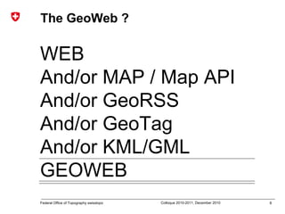
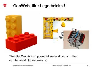
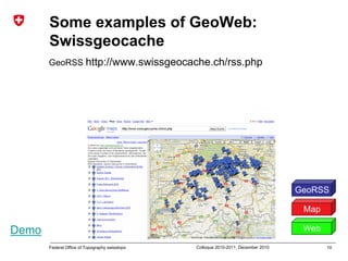
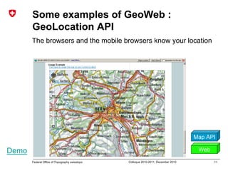
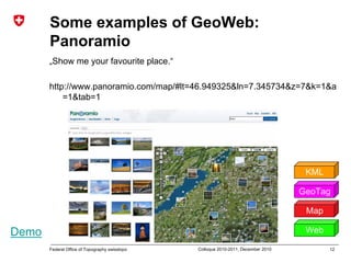
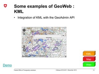
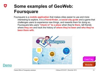
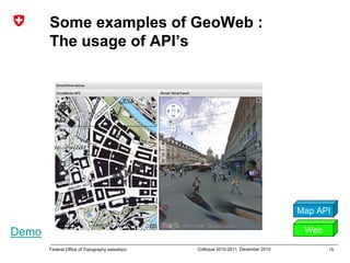
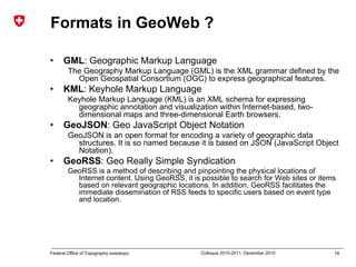

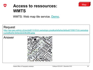
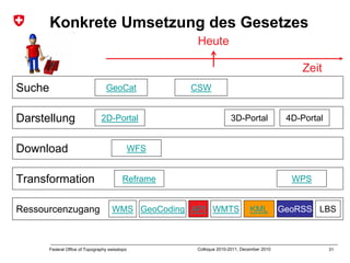
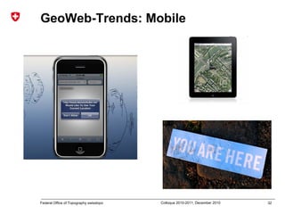
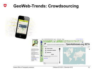
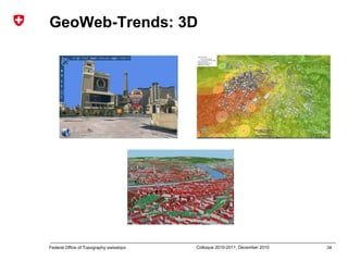
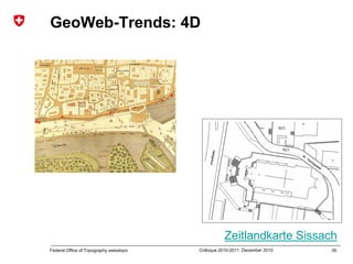
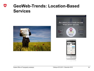
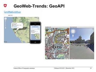
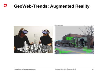

The document discusses the history and definition of the GeoWeb. It describes the GeoWeb as being composed of "bricks" like maps, geoRSS, geotags, and KML/GML that can be used together. Examples are given like Swissgeocache using geoRSS and Panoramio using maps, geotags, and KML. Formats for the GeoWeb include GML, KML, GeoJSON, and GeoRSS. Access to resources is described through WMTS, geocoding, APIs, and KML features. Trends mentioned include mobile, crowdsourcing, 3D/4D, location-based services, augmented reality, and GeoAPIs. The document outlines


![Getting Started with Apache Spark: Big Data Made Simple [Free Meetup]](https://cdn.slidesharecdn.com/ss_thumbnails/apachesparkgettingstarted-260203175547-8361bcc3-thumbnail.jpg?width=640&height=640&fit=bounds)


