Download to read offline
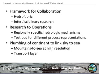
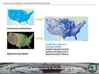
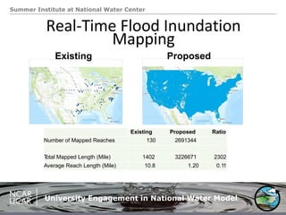
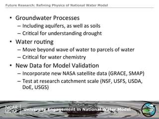

The document discusses the National Water Model and its significance in predicting streamflow, highlighting university engagement through summer institutes and collaborative research. It emphasizes the need for region-specific hydrologic mechanisms and new physics to improve modeling, particularly in groundwater processes and water routing. Future research aims to validate models using new satellite data and enhance understanding of hydrological dynamics.