1. Site/Project:
Belfast City Centre
Student Accommodation
Development
Industry:
Private Development
Client:
Watkin Jones Group /
Lacuna Developments
Location:
Belfast
Site Type:
Urban Streetscape
Deliverables:
3D Laser Scan survey of
3 Block / 3.5ha Belfast City
Centre, 3D Mass building
models and window
openings
Introduction 3D Survey
New student accommodation development
was planned for two prominent Belfast City
Centre locations which would involve the
renovation of an existing building at Site 1
and extension upwards to accommodate
additional floor levels and the construction of
a new building on Site 2. The client required
a 3D survey of the surrounding 3 city blocks
(c.3.5ha area) within the first development
location to include all adjacent retail and
office buildings, and a smaller 1 block survey
(c.0.5ha area) within the second development
location to include a mix of office and
residential buildings to facilitate the
construction of an accurate 3D model of the
development building and surrounding
buildings in order to carry out Right of Light
Analysis as a due diligence exercise.
The measured building survey consisted of a 3D
laser scan survey of the surrounding streetscape
within both locations using a Leica Scan Station
C10, carried out over a period of three days.
With a 300m scanning range the C10 scanner
was traversed around each of the street blocks
within the survey area to allow for the capture of
overlapping scans. Scans were predominantly
carried out at ground level and augmented with
roof level survey scans where access was made
available.
IS SUE
10 FarrimondMacManus Ltd
ARCHAEOLOGY − SURVEY − GIS
This issue
Measured Building Survey as
an aid to 3D Modelling and
Right of Light Analysis
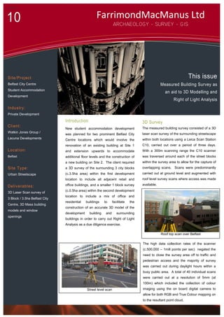
Roof top scan over Belfast
Street level scan
The high data collection rates of the scanner
(c.500,000 – 1mill points per sec) negated the
need to close the survey area off to traffic and
pedestrian access and the majority of survey
was carried out during daylight hours within a
busy public area. A total of 40 individual scans
were carried out at a resolution of 5mm (at
100m) which included the collection of colour
imaging using the on board digital camera to
allow for both RGB and True Colour mapping on
to the resultant point cloud.
2. Survey Analysis & 3D Output
A total of 40 individual 3D point cloud
scans were combined together and
registered to form a completed model
of both survey areas. The fully
registered point clouds were exported
to PTS/PTX/XYZ format for integration
into 3Ds Max software for modelling
purposes and imported into CAD
software for production of 3D polyline
window openings.
Applications:
Accurate 3D data for
modelling and integration into
Right of Light modelling
Complete measured survey
archive
3D Block Models Site 1 – Belfast City Centre
Within CAD software the point cloud
data was sliced up along its X & Y Axis
in order to derive the required window
polylines for Site 1. Upon completion
these were aligned and integrated with
the full 3D mass model of the area and
supplied to the client in CAD format.
.
The 3D mass models and associated window polylines were made available within five days of
completion of on site works
Benefits:
Time and cost effective
survey of large city
streetscape
No need to close off street
traffic
Quick turnaround
Unparalleled building
modelling accuracy
On site control was collected and reference to Irish Grid using a combination of RTK GPS and Total
Station observations
Deliverables included 3D mass models of all buildings within the survey area to a detail including
all building façade architectural elements including window reveals, overhangs, porches, pillars
etc. A 3D polyline drawing of all window openings was also required for integration into the RoL
analytical software for Site 1.
Overlay of 3D model and point cloud scan data
3D Model Window Polyline overlay Site 1 Detailed 3D Building Modelling Site 2