1. Engineering Services Confidential Information – Not for distribution without permission62
Geo-Terrain/Image processing services
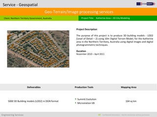
Client: Northern Territory Government, Australia
Service - Geospatial
Project Title: Katherine Area – 3D City Modeling
Project Description
The purpose of this project is to produce 3D building models - LOD2
(Level of Detail – 2) using 10m Digital Terrain Model, for the Katherine
area in the Northern Territory, Australia using digital images and digital
photogrammetric techniques.
Duration
November 2010 – April 2011
Deliverables Production Tools Mapping Area
5000 3D Building models (LOD2) in DGN format
Summit Evolution
Microstation V8
164 sq km
2. Engineering Services Confidential Information – Not for distribution without permission63
Geo-Terrain/Image processing services
Client: Groupe SCE, India
Service - Geospatial
Project Title: Regensburg 3D City Modelling
Project Description
The purpose of this project is create 3D city models with roof tops and
texturing of facades through stereoscopic techniques for an area of 5 sq
km. The model shows all features on buildings and roofs like bay
windows, chimneys, etc. which contained very high level of detail. In
this project a total of approximately 2000 buildings were modeled.
Duration
December 2009
Deliverables Production Tools Mapping Area
3D Building Model LOD03 as ESRI Shape file
3D Building Model LOD03 as Google sketchUp file
Summit Evolution
Microstation V8
Google SketchUp
5 sq km
3. Engineering Services Confidential Information – Not for distribution without permission64
Geo-Terrain/Image processing services
Client: Infoterra, United Kingdom
Service - Geospatial
Project Title: Infoterra – 3D Building Modeling Project
Project Description
The purpose of this pilot was to produce 3D Building model (LOD3) and
5m digital terrain model for a given area using in digital
photogrammetric techniques.
Duration
November 2010
Deliverables Production Tools Mapping Area
3D Building Model LOD03 as ESRI Shape file
5m digital elevation model
Summit Evolution
Microstation V8
10 sq km