Download to read offline

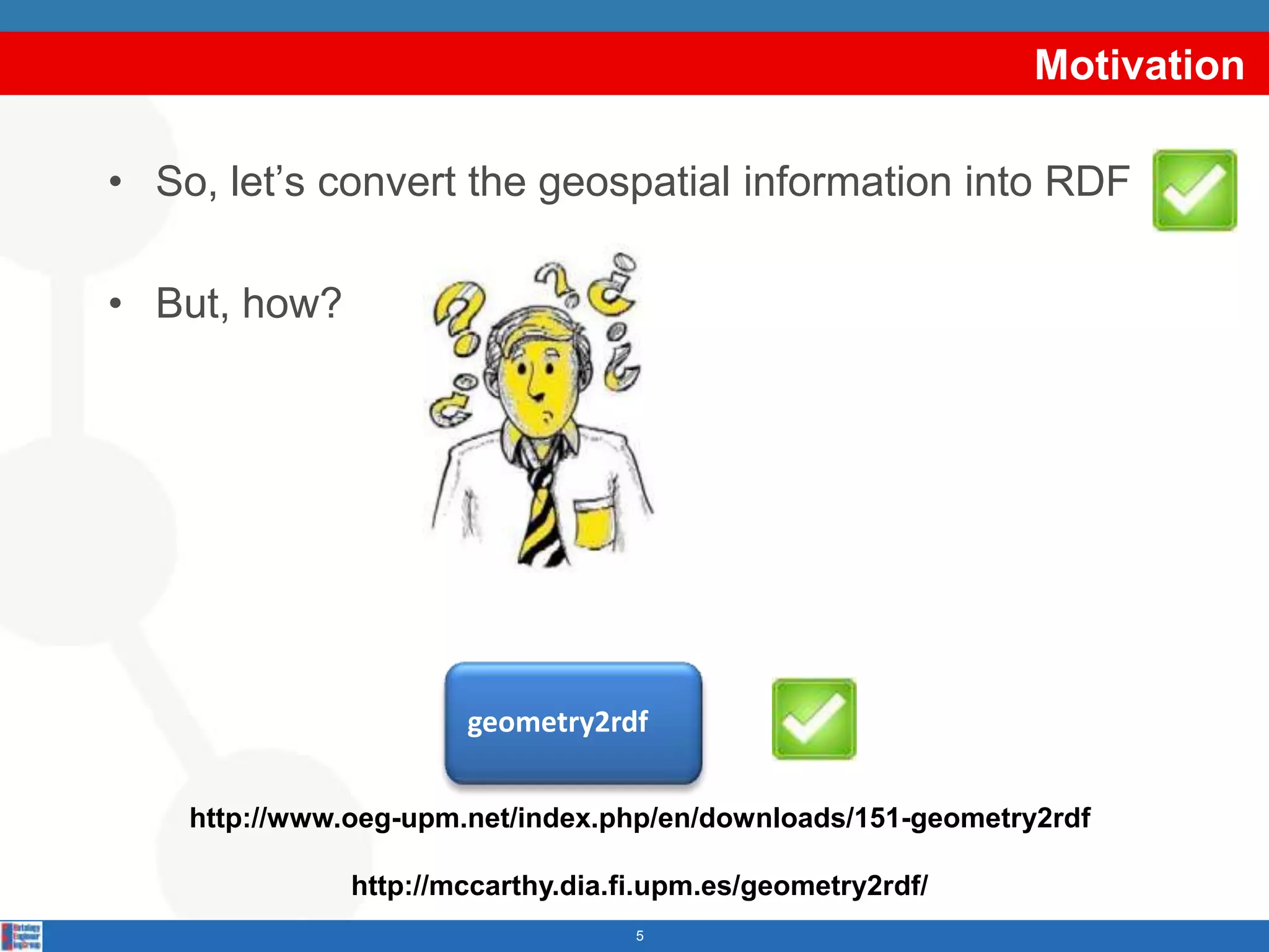
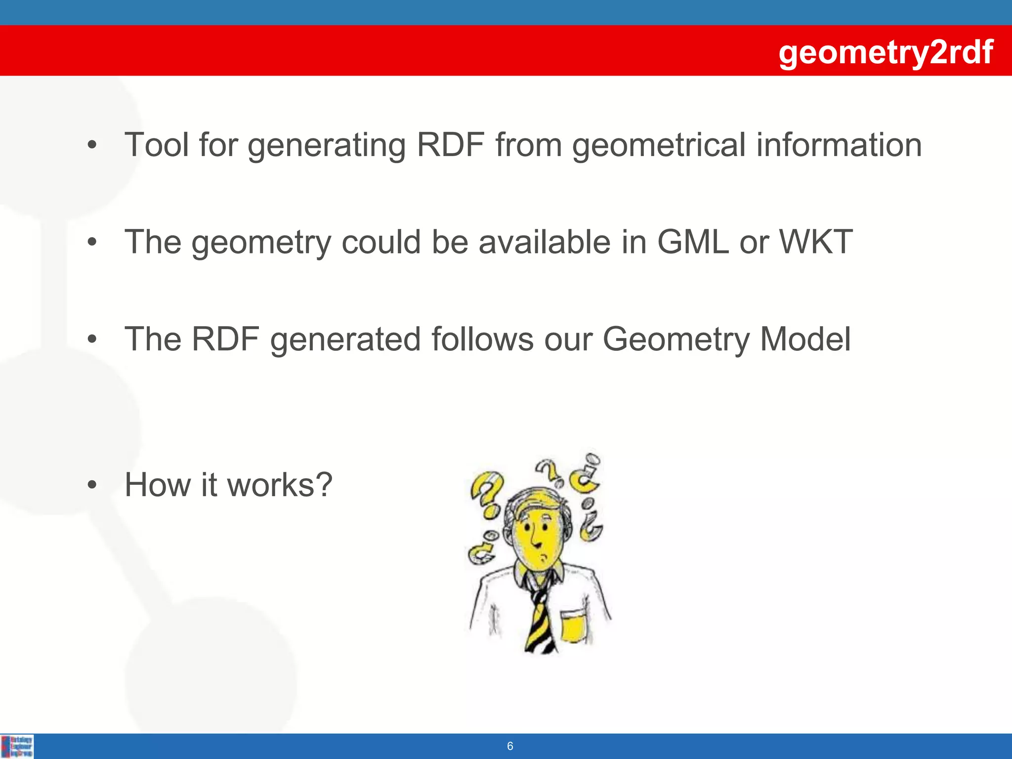
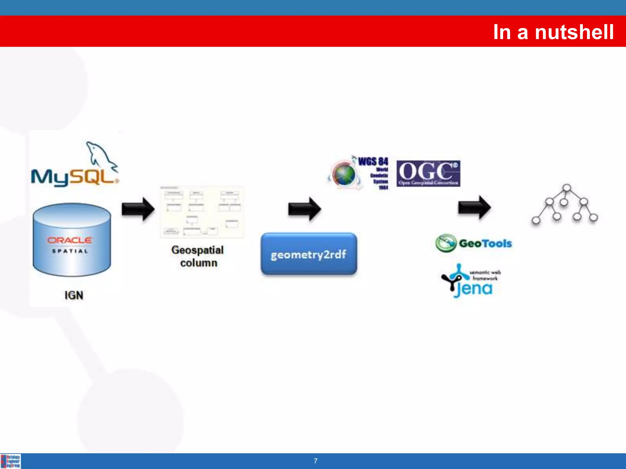
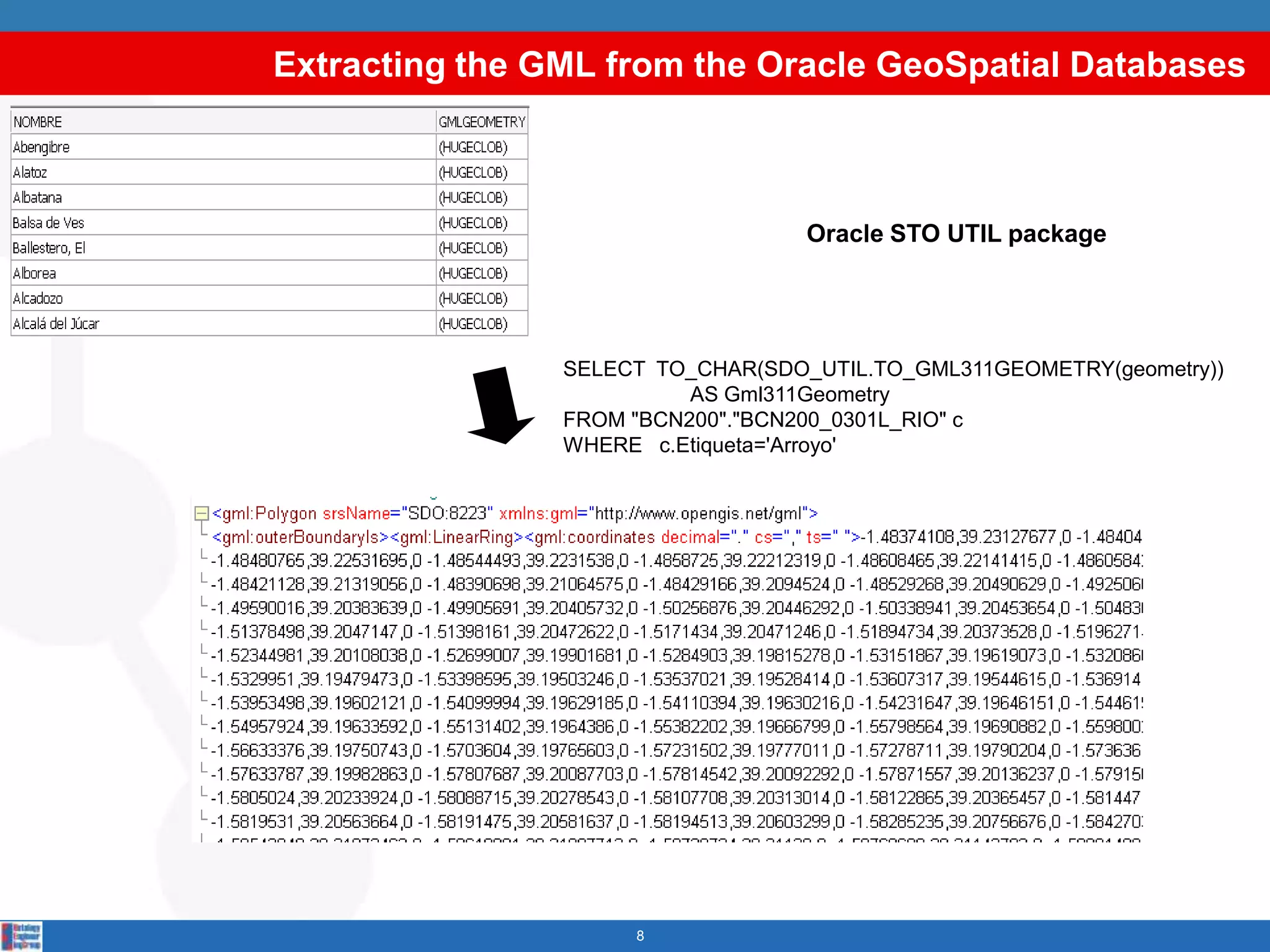
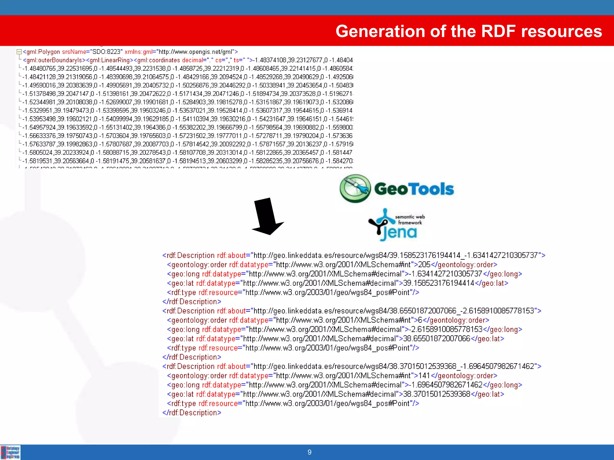
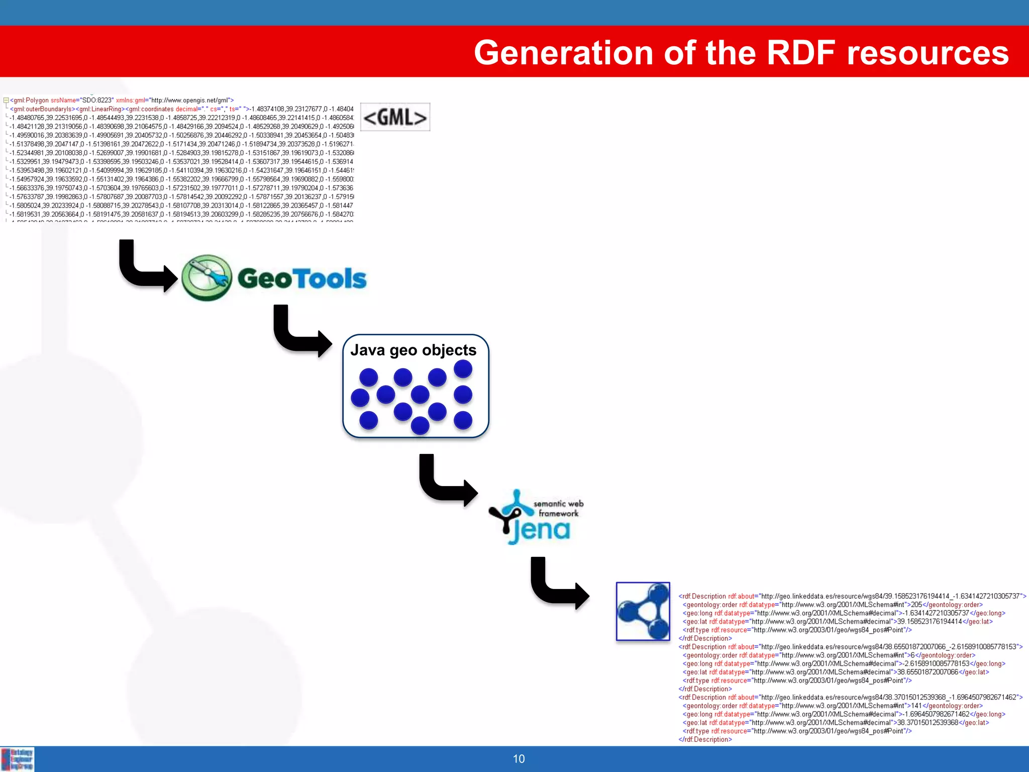
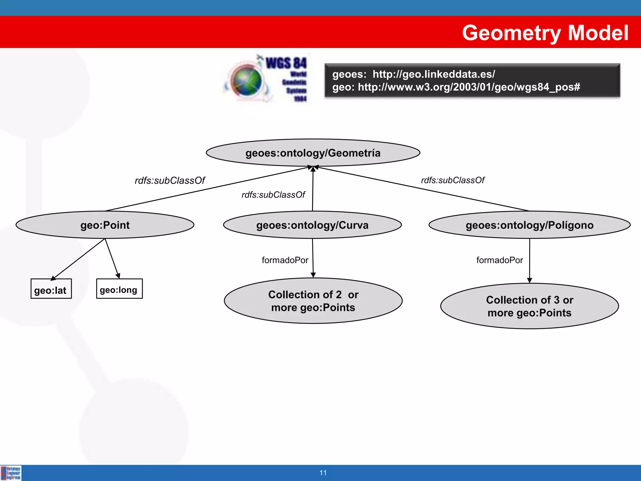
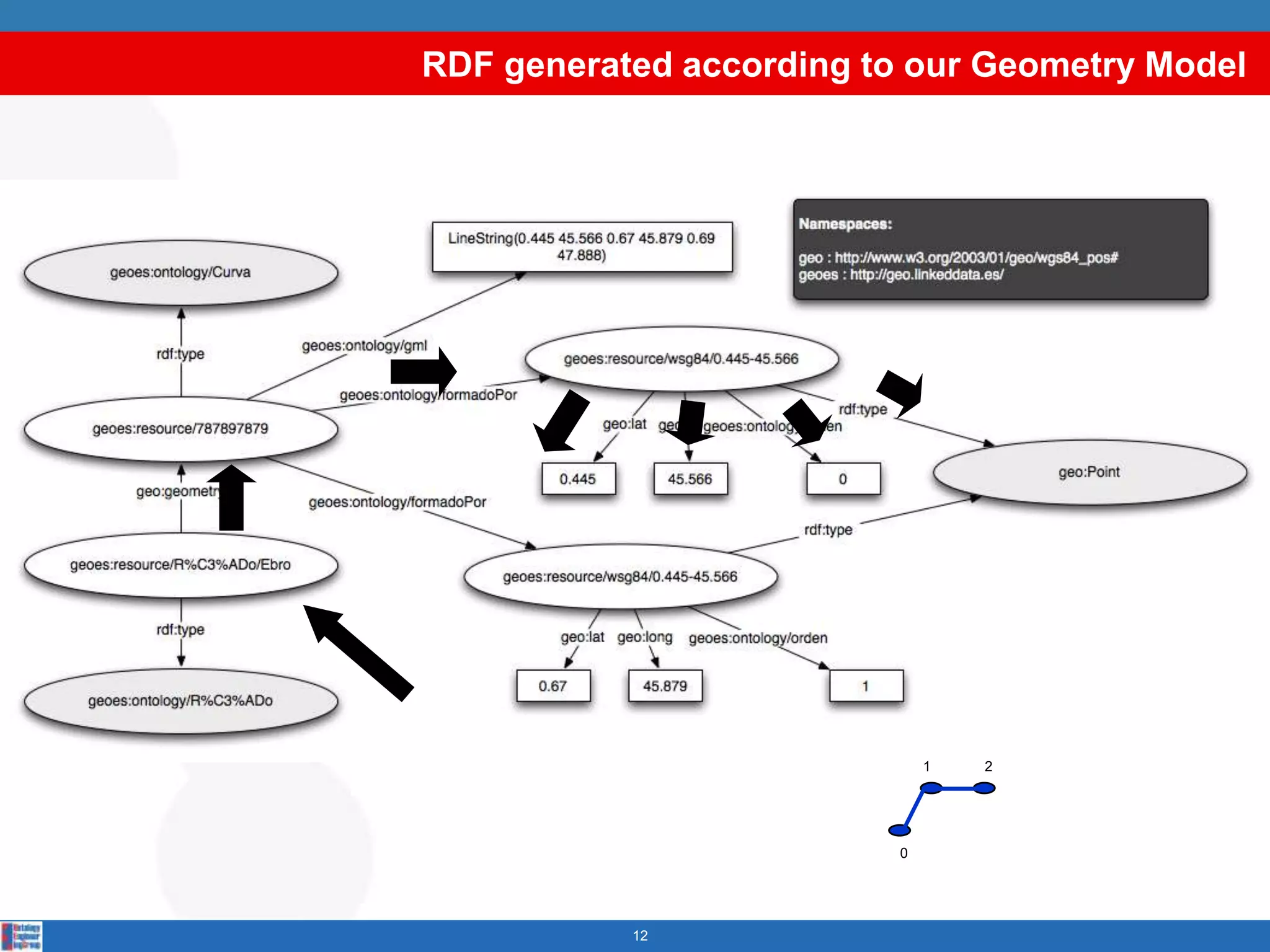
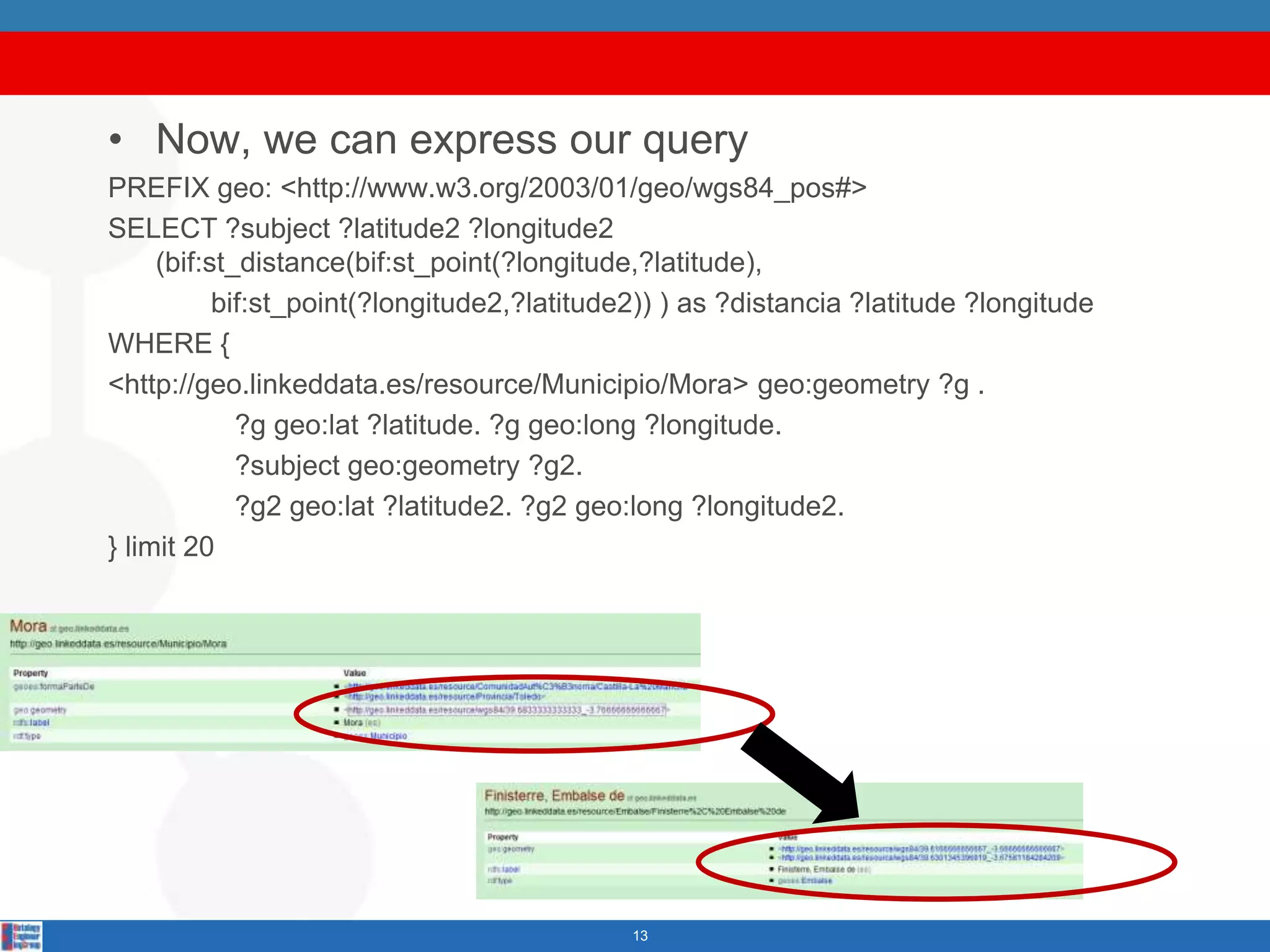
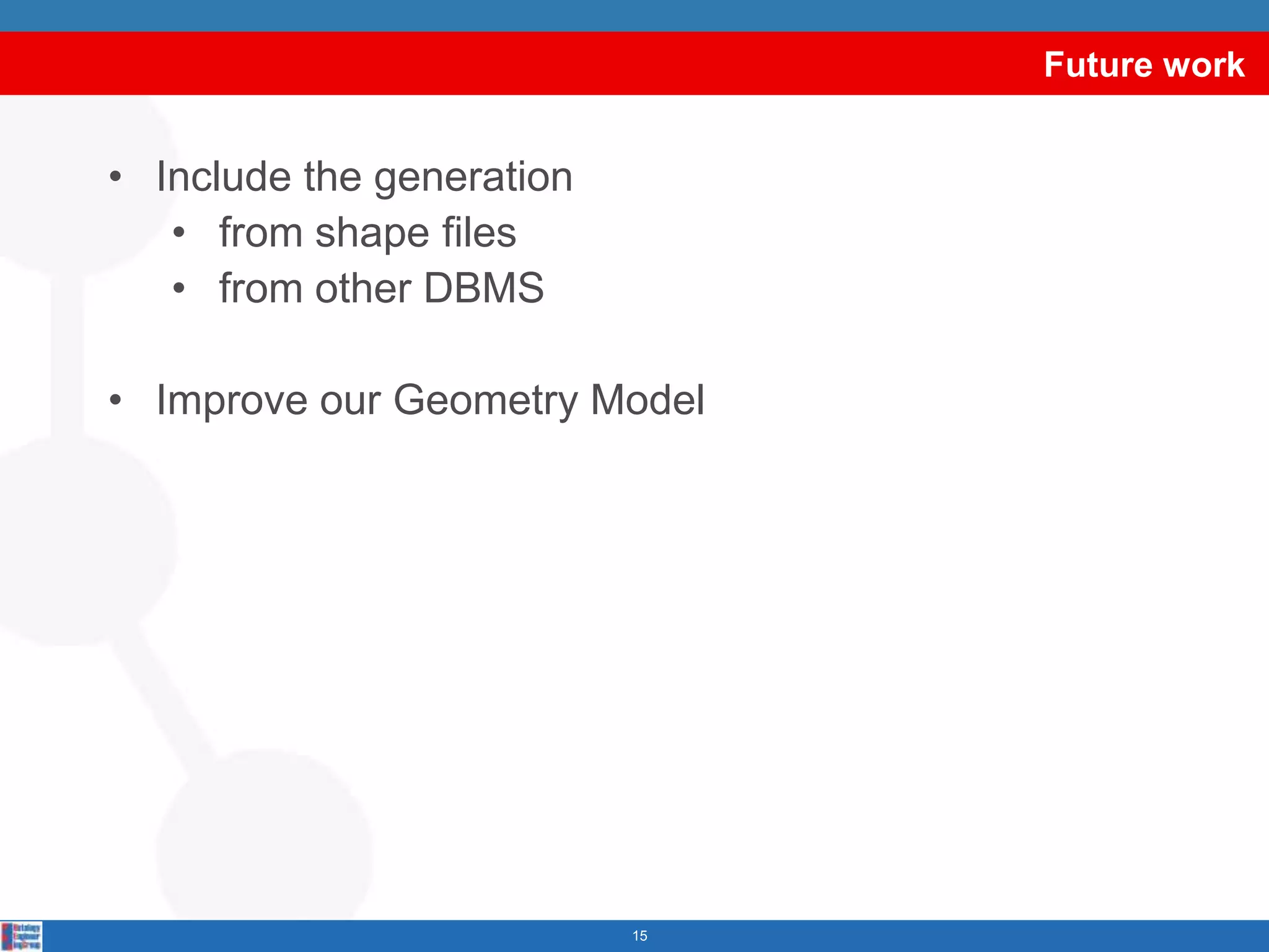


geometry2rdf is a tool that generates RDF from geometric information. It can extract geometry from GML or WKT formats and generate RDF according to a Geometry Model that represents geometric entities like points, polygons, and curves as RDF resources. The RDF generated can then be queried and visualized on a map. Future work includes generating RDF from additional data sources like shapefiles and other DBMS, improving the Geometry Model, and extracting GML from spatial databases.