Download to read offline
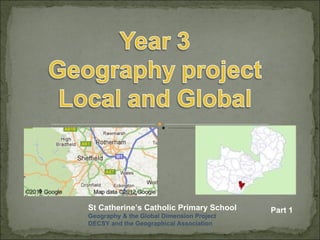

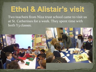


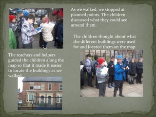

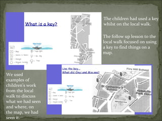
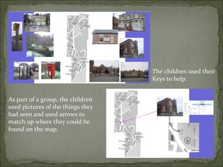


The document details a geography project at St Catherine’s Catholic Primary School that engages students in learning about Zambia and their local environment. It includes descriptions of activities such as sharing experiences from a visit to Zambia, conducting a local walk to map amenities, and using keys to identify features on the maps they created. The project emphasizes global citizenship, collaboration, and problem-solving among the students.


