Download to read offline
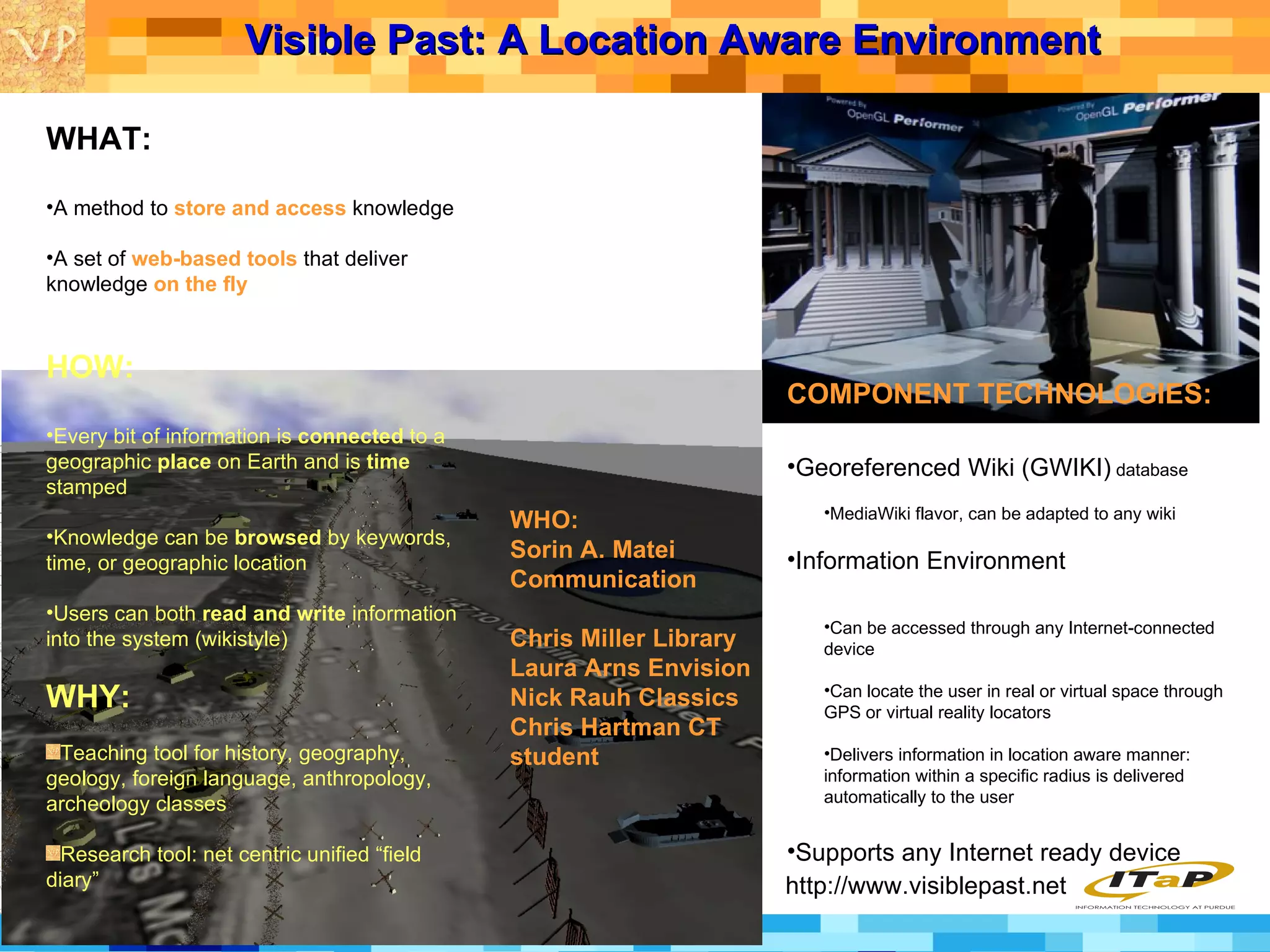

Visible Past is a web-based system that allows users to store, access, and contribute information that is connected to specific geographic locations and time periods. Information can be browsed by keyword, time, or location. The system includes 3D models of historical places annotated with multimedia information. It aims to create rich information environments for enhancing education and research by delivering location-aware knowledge to users based on where they are.


![Vibe Coding vs. Spec-Driven Development [Free Meetup]](https://cdn.slidesharecdn.com/ss_thumbnails/vibecodingvsspecdrivendevelopment-251209105622-43f455e7-thumbnail.jpg?width=640&height=640&fit=bounds)


