Download as PDF, PPTX


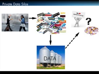
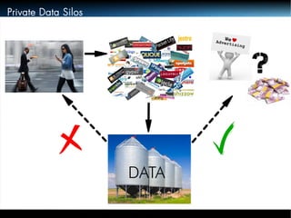
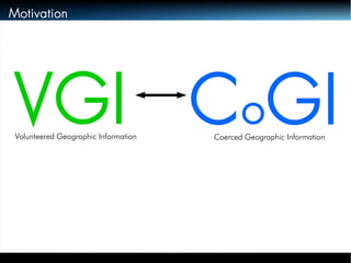
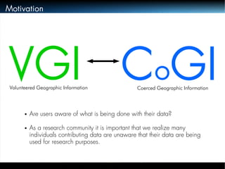
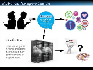
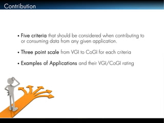
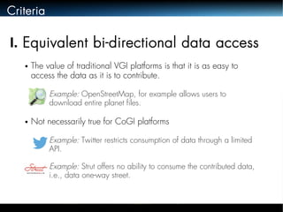
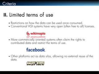
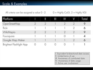

The document discusses the distinction between Volunteered Geographic Information (VGI) and Coerced Geographic Information (CoGI), highlighting the unawareness of many users regarding the utilization of their contributed data. It outlines five criteria for evaluating data contribution platforms and notes a trend towards more commercial and less transparent systems. The authors emphasize the need for clarity regarding data collection, usage, and access in the context of user-generated geographic content.