Downloaded 180 times

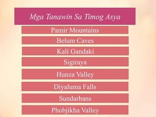
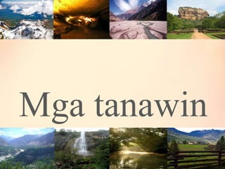

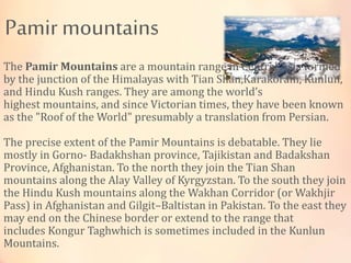

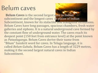
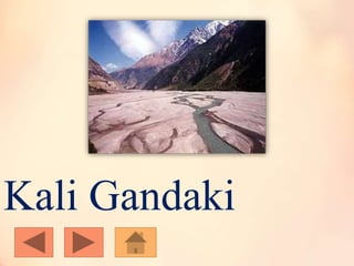


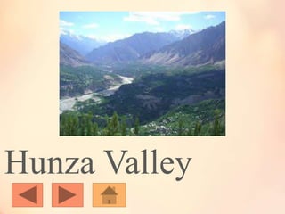
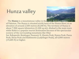
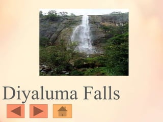
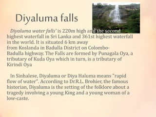

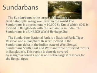

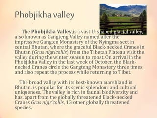


The document summarizes several landmarks and natural attractions located in South Asia. It describes the Pamir Mountains as a mountain range formed by several major mountain ranges in Central Asia, known as the "Roof of the World". It also briefly describes Belum Caves in India, known for its stalactite and stalagmite formations; the Kali Gandaki River gorge through the Himalayas in Nepal; Sigiriya rock fortress in Sri Lanka; the mountainous Hunza Valley in Pakistan; Diyaluma Falls as the second highest in Sri Lanka; the Sundarbans mangrove forest shared between India and Bangladesh; and the Phobjikha Valley in Bhutan, an important habitat for the black-necked


![Geogeaphy of eastern asia[1]](https://cdn.slidesharecdn.com/ss_thumbnails/geogeaphyofeasternasia1-121212155457-phpapp01-thumbnail.jpg?width=640&height=640&fit=bounds)


