Download to read offline
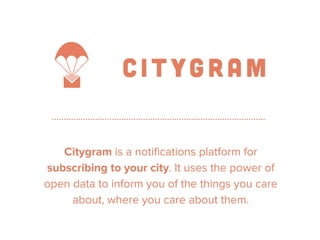
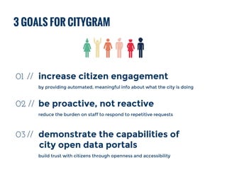
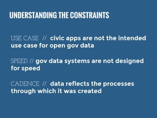

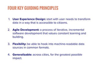

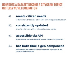
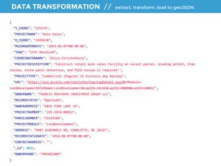
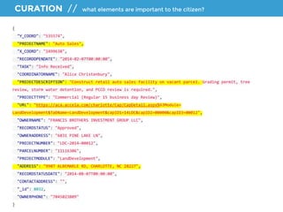
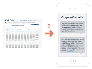
![TRANSLATION // turn machine-speak into human speak
ELEMENTS
> project name
> project description
> URL
> address
TEMPLATE
Hi! A new land development
permit has been submitted near
you at [ADDRESS]. The project is
called [PROJECTNAME] and
proposes to [PROJECT
DESCRIPTION]. Find out more at
[URL].](https://image.slidesharecdn.com/summitworkshop-makingopendatauseful-141003180336-conversion-gate02/85/Making-Open-Data-Useful-Citygram-18-320.jpg)
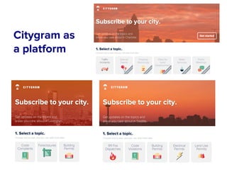

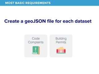


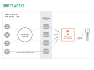
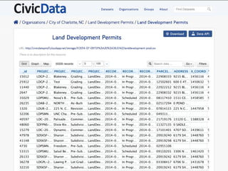
Citygram is a notification platform designed to improve citizen engagement by utilizing open data to provide timely and relevant information about city activities. It aims to proactively inform citizens, reduce the workload on city staff, and showcase the capabilities of open data portals. The document outlines its goals, guiding principles, integration processes, and offers a case study on its application in Lexington, KY.


