Download as PDF, PPTX

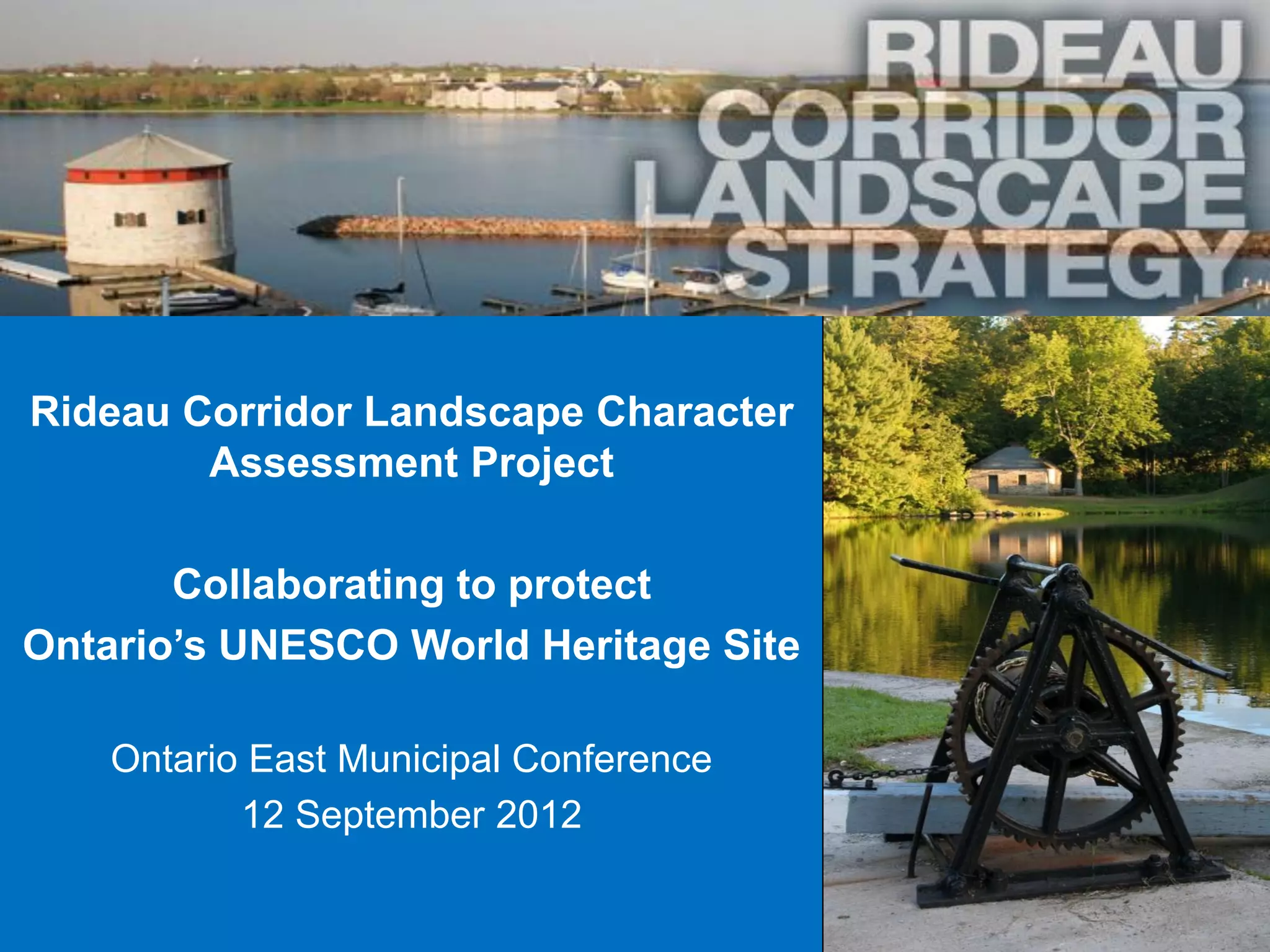
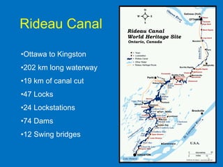
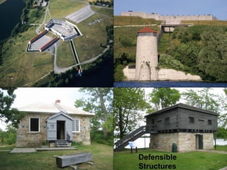
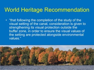
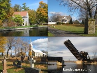
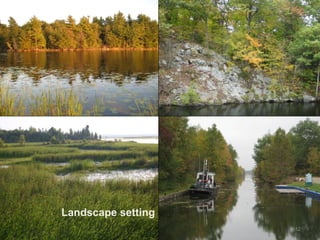
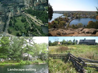
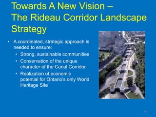
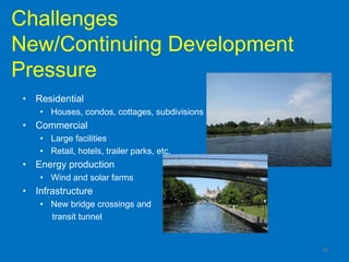
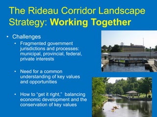
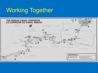

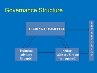
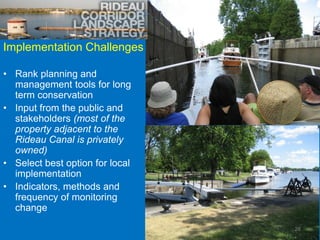
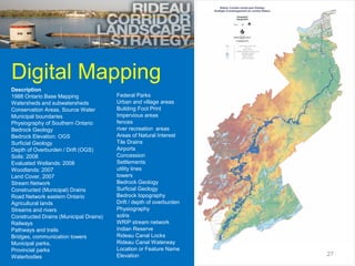
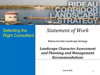

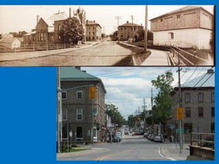

This document discusses the Rideau Corridor Landscape Character Assessment Project. The project aims to develop a coordinated strategy to balance development, conservation, and heritage protection along the Rideau Canal corridor. A steering committee and technical advisory group have been formed to guide the project. Work to date includes mapping the landscape, identifying challenges, and selecting consultants to conduct further assessments to inform planning policies. The goal is to provide clarity around the planning process and promote sustainable development along Ontario's UNESCO World Heritage Site.


