Downloaded 14 times
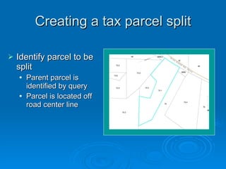
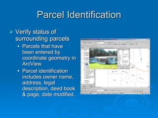
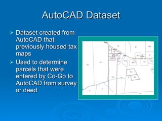


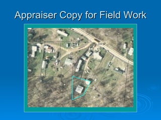


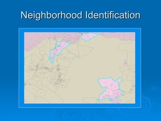
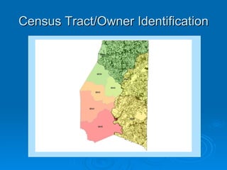


This document discusses the process of creating a tax parcel split in Preston County using GIS software. It involves identifying the parent parcel to be split, verifying surrounding parcel information, using an AutoCAD dataset from previous tax maps, and making adjustments to align the data between different coordinate systems. Challenges include roads with varying widths and parcels surveyed to different scales. The final tax map provides key parcel identification and ownership information.


