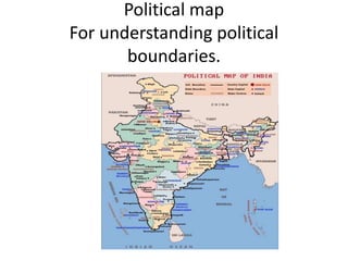
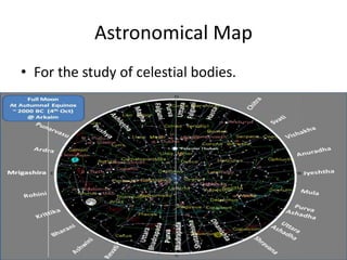
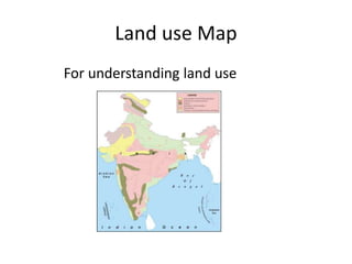
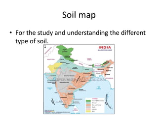
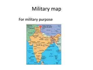
Maps are a relevant tool for recording details about natural and man-made features on Earth. There are different types of maps created for various purposes, such as political maps for understanding boundaries, astronomical maps for studying celestial bodies, land use maps for understanding land usage, soil maps for studying soil types, and military maps created for military purposes. Conventional signs and symbols are used in maps to represent different features and allow maps to be read effectively.