Download as PDF, PPTX


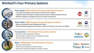
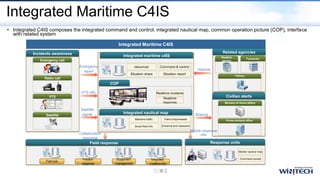
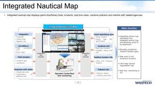
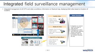
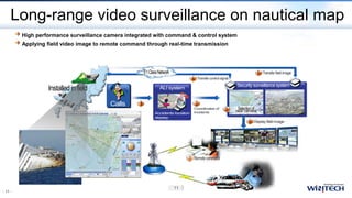
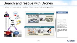
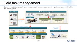
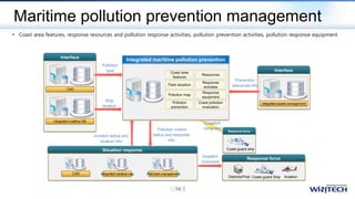
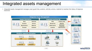
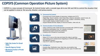
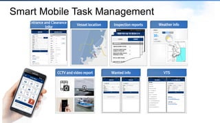
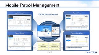
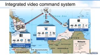
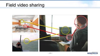

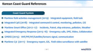
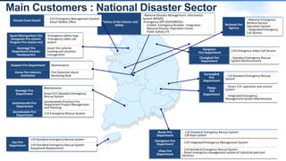
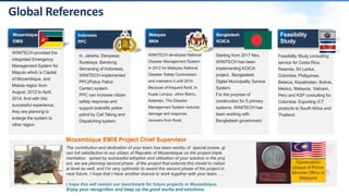
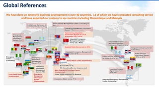


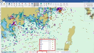
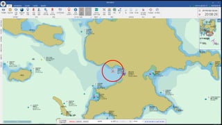
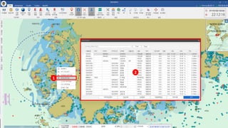
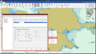
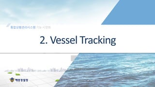
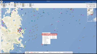
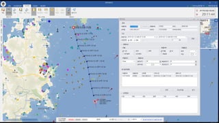
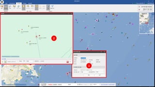
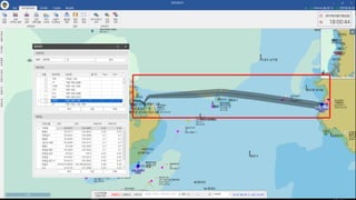

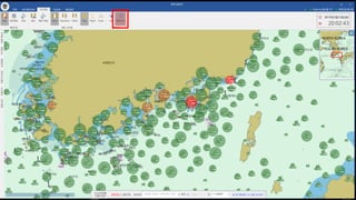
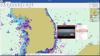
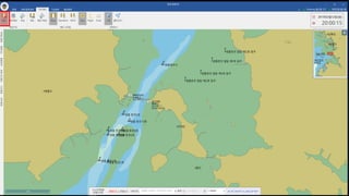
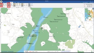
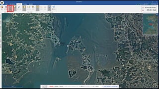
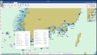
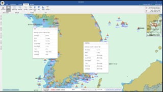
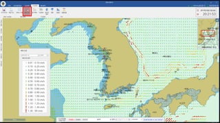


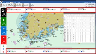

This document summarizes an integrated maritime command and control system developed by a Korean company. The system integrates various data sources and surveillance tools to provide situational awareness and coordination for emergency response. It includes features such as an integrated nautical map, video integration and drone surveillance, mobile task management, pollution monitoring, and asset management. The system aims to provide South Korean maritime agencies with integrated tools to facilitate emergency response and security operations.


![The Maritime Security. OSINT [EN] .pdf](https://cdn.slidesharecdn.com/ss_thumbnails/maritimesecurity-240723053511-8c070405-thumbnail.jpg?width=640&height=640&fit=bounds)


